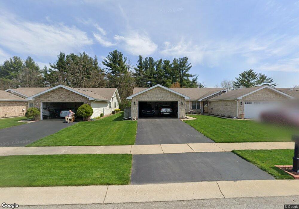
2931 Freedom Cir Crown Point, IN 46307
Estimated Value: $271,799 - $330,000
3
Beds
2
Baths
1,649
Sq Ft
$179/Sq Ft
Est. Value
About This Home
This home is located at 2931 Freedom Cir, Crown Point, IN 46307 and is currently estimated at $295,950, approximately $179 per square foot. 2931 Freedom Cir is a home located in Lake County with nearby schools including Peifer Elementary School, Hal E Clark Middle School, and Lake Central High School.
Ownership History
Date
Name
Owned For
Owner Type
Purchase Details
Closed on
May 3, 2021
Sold by
Polusky Charle R and Polusky Mary E
Bought by
Polusky Chalres R and Polusky Mary E
Current Estimated Value
Purchase Details
Closed on
May 25, 2018
Sold by
Fisher Mary
Bought by
Polusjy Charles R and Polusjy Mary E
Home Financials for this Owner
Home Financials are based on the most recent Mortgage that was taken out on this home.
Original Mortgage
$148,000
Outstanding Balance
$87,688
Interest Rate
4.4%
Mortgage Type
New Conventional
Estimated Equity
$208,262
Purchase Details
Closed on
Sep 15, 2015
Sold by
Crooks Lucyna B
Bought by
Fisher Mary
Create a Home Valuation Report for This Property
The Home Valuation Report is an in-depth analysis detailing your home's value as well as a comparison with similar homes in the area
Home Values in the Area
Average Home Value in this Area
Purchase History
| Date | Buyer | Sale Price | Title Company |
|---|---|---|---|
| Polusky Chalres R | -- | None Available | |
| Polusjy Charles R | -- | Fidelity National Title Co | |
| Fisher Mary | -- | Fidelity National Title Co | |
| Crooks Lucyna B | -- | Attorney |
Source: Public Records
Mortgage History
| Date | Status | Borrower | Loan Amount |
|---|---|---|---|
| Open | Polusjy Charles R | $148,000 |
Source: Public Records
Tax History Compared to Growth
Tax History
| Year | Tax Paid | Tax Assessment Tax Assessment Total Assessment is a certain percentage of the fair market value that is determined by local assessors to be the total taxable value of land and additions on the property. | Land | Improvement |
|---|---|---|---|---|
| 2024 | $4,270 | $237,000 | $32,400 | $204,600 |
| 2023 | $1,714 | $209,700 | $32,400 | $177,300 |
| 2022 | $1,668 | $187,700 | $32,400 | $155,300 |
| 2021 | $1,557 | $180,300 | $32,400 | $147,900 |
| 2020 | $1,479 | $170,500 | $25,500 | $145,000 |
| 2019 | $1,618 | $168,400 | $23,800 | $144,600 |
| 2018 | $1,579 | $160,400 | $23,800 | $136,600 |
| 2017 | $1,409 | $153,500 | $23,800 | $129,700 |
| 2016 | $1,336 | $147,700 | $23,800 | $123,900 |
| 2014 | $2,747 | $146,500 | $23,800 | $122,700 |
| 2013 | $1,188 | $144,400 | $23,800 | $120,600 |
Source: Public Records
Map
Nearby Homes
- 2921 Morningside Dr
- 2914 Morningside Dr
- 1813 Redwood Ct
- 5547 Maggie Mae Ct
- 5544 Maggie Mae Ct
- 1881 Orchard Ct
- 6076 Wexford Way
- 1896 Azalea Ct
- 1785 Wedgewood Ct
- 1765 Wedgewood Ct
- 2720 Painted Leaf Ct
- 5480 Victoria Place
- 2756 Autumn Dr
- 8109 Victoria Place
- 6440 W 89th Ave
- 2609 Autumn Dr
- 2543 Harvest Dr
- 8849 Calhoun Place
- 8521 Morse Place
- 10406 Whitney Place
- 2927 Freedom Cir
- 2933 Freedom Cir
- 2925 Freedom Cir
- 2937 Freedom Cir
- 2924 Freedom Cir
- 2939 Freedom Cir
- 2921 Freedom Cir
- 2952 Freedom Cir
- 2922 Freedom Cir
- 2943 Freedom Cir
- 2919 Freedom Cir
- 2945 Freedom Cir
- 2915 Freedom Cir
- 2954 Freedom Cir
- 2913 Freedom Cir
- 2909 Freedom Cir
- 2949 Freedom Cir
- 2907 Freedom Cir
- 2938 Liberty Dr
- 2932 Liberty Dr