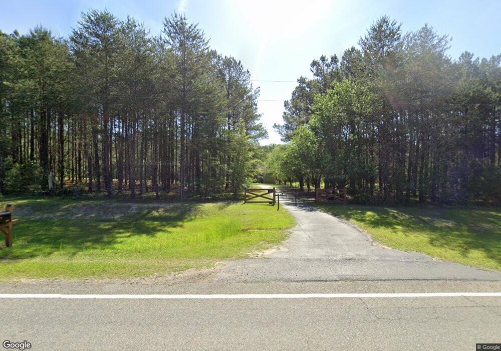
2931 Ga Highway 33 S Sylvester, GA 31791
Estimated Value: $353,000 - $459,000
3
Beds
3
Baths
2,259
Sq Ft
$181/Sq Ft
Est. Value
About This Home
This home is located at 2931 Ga Highway 33 S, Sylvester, GA 31791 and is currently estimated at $408,263, approximately $180 per square foot. 2931 Ga Highway 33 S is a home located in Worth County with nearby schools including Worth County Primary School, Worth County Elementary School, and Worth County Middle School.
Ownership History
Date
Name
Owned For
Owner Type
Purchase Details
Closed on
Mar 30, 2021
Sold by
Jones Larry K
Bought by
Basnight Robert Raye and Basnight Monica Oakley
Current Estimated Value
Home Financials for this Owner
Home Financials are based on the most recent Mortgage that was taken out on this home.
Original Mortgage
$280,250
Outstanding Balance
$253,032
Interest Rate
3%
Mortgage Type
New Conventional
Estimated Equity
$155,231
Purchase Details
Closed on
Jun 6, 1996
Bought by
Jones Larry K
Create a Home Valuation Report for This Property
The Home Valuation Report is an in-depth analysis detailing your home's value as well as a comparison with similar homes in the area
Home Values in the Area
Average Home Value in this Area
Purchase History
| Date | Buyer | Sale Price | Title Company |
|---|---|---|---|
| Basnight Robert Raye | $295,000 | -- | |
| Jones Larry K | $23,700 | -- |
Source: Public Records
Mortgage History
| Date | Status | Borrower | Loan Amount |
|---|---|---|---|
| Open | Basnight Robert Raye | $280,250 |
Source: Public Records
Tax History Compared to Growth
Tax History
| Year | Tax Paid | Tax Assessment Tax Assessment Total Assessment is a certain percentage of the fair market value that is determined by local assessors to be the total taxable value of land and additions on the property. | Land | Improvement |
|---|---|---|---|---|
| 2024 | $2,652 | $83,608 | $20,304 | $63,304 |
| 2023 | $2,652 | $80,296 | $20,304 | $59,992 |
| 2022 | $2,559 | $80,296 | $20,304 | $59,992 |
| 2021 | $2,481 | $80,296 | $20,304 | $59,992 |
| 2020 | $2,484 | $80,296 | $20,304 | $59,992 |
| 2019 | $2,484 | $80,296 | $20,304 | $59,992 |
| 2018 | $2,301 | $80,296 | $20,304 | $59,992 |
| 2017 | $2,301 | $80,296 | $20,304 | $59,992 |
| 2016 | $2,244 | $80,296 | $20,304 | $59,992 |
| 2015 | $2,248 | $80,296 | $20,304 | $59,992 |
| 2014 | $2,248 | $80,296 | $20,304 | $59,992 |
| 2013 | -- | $80,296 | $20,304 | $59,992 |
| 2012 | -- | $80,296 | $20,304 | $59,992 |
Source: Public Records
Map
Nearby Homes
- 914 Douthit Rd
- 702 New Bethel Church Rd
- 2329 Evergreen Rd
- 0 P T Salter Rd Unit 138997
- 0 Sands Dr
- 1017 Sumner Rd S
- 565 Sands Dr Unit 8
- 565 Sands Dr
- 340 Belk Rd
- 302 Sadler St
- 314 E Hobson St
- 307 E Hobson St
- 734 Porters Corner Rd
- 710 S Jefferson St
- 0 Multiple Lots Unit 138826
- 101 Pecan St
- 376 West Rd
- 202A E Welch St
- 000 Georgia 256
- 330/332 Debbie Ln