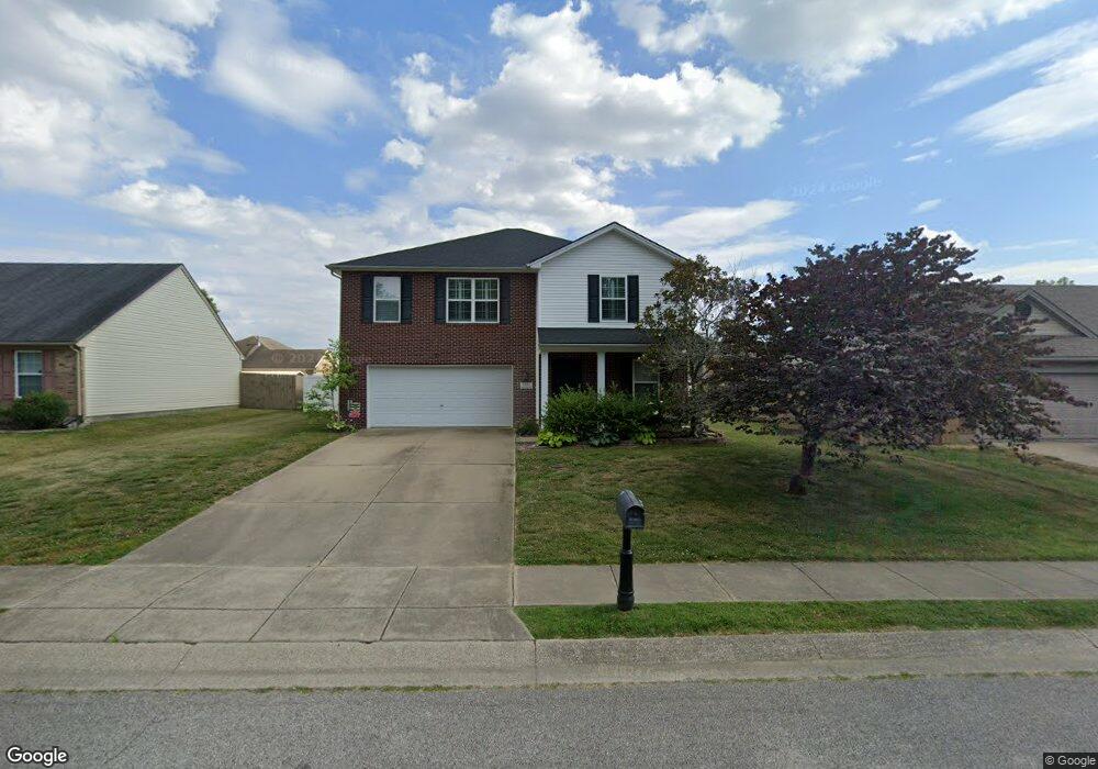
2931 Mooring Rd Evansville, IN 47725
Estimated Value: $311,843 - $331,000
3
Beds
3
Baths
2,360
Sq Ft
$136/Sq Ft
Est. Value
About This Home
This home is located at 2931 Mooring Rd, Evansville, IN 47725 and is currently estimated at $320,711, approximately $135 per square foot. 2931 Mooring Rd is a home located in Vanderburgh County with nearby schools including McCutchanville Elementary School, North Junior High School, and North High School.
Ownership History
Date
Name
Owned For
Owner Type
Purchase Details
Closed on
Oct 12, 2021
Sold by
Ferguson Chad
Bought by
Ferguson Renee Allen
Current Estimated Value
Purchase Details
Closed on
Aug 3, 2012
Sold by
Ferguson Chad T and Ferguson Renee A Cain
Bought by
Ferguson Chad T and Ferguson Renee A
Home Financials for this Owner
Home Financials are based on the most recent Mortgage that was taken out on this home.
Original Mortgage
$164,021
Interest Rate
3.12%
Mortgage Type
FHA
Create a Home Valuation Report for This Property
The Home Valuation Report is an in-depth analysis detailing your home's value as well as a comparison with similar homes in the area
Home Values in the Area
Average Home Value in this Area
Purchase History
| Date | Buyer | Sale Price | Title Company |
|---|---|---|---|
| Ferguson Renee Allen | -- | None Available | |
| Ferguson Chad T | -- | None Available |
Source: Public Records
Mortgage History
| Date | Status | Borrower | Loan Amount |
|---|---|---|---|
| Closed | Ferguson Chad T | $164,021 |
Source: Public Records
Tax History Compared to Growth
Tax History
| Year | Tax Paid | Tax Assessment Tax Assessment Total Assessment is a certain percentage of the fair market value that is determined by local assessors to be the total taxable value of land and additions on the property. | Land | Improvement |
|---|---|---|---|---|
| 2024 | $2,988 | $281,300 | $23,600 | $257,700 |
| 2023 | $2,831 | $274,800 | $23,600 | $251,200 |
| 2022 | $2,729 | $251,400 | $23,600 | $227,800 |
| 2021 | $2,071 | $195,200 | $23,600 | $171,600 |
| 2020 | $2,021 | $197,300 | $23,600 | $173,700 |
| 2019 | $1,743 | $177,500 | $23,600 | $153,900 |
| 2018 | $1,753 | $179,400 | $23,600 | $155,800 |
| 2017 | $1,729 | $178,400 | $23,600 | $154,800 |
| 2016 | $1,494 | $164,800 | $23,600 | $141,200 |
| 2014 | $1,413 | $159,400 | $23,600 | $135,800 |
| 2013 | -- | $157,900 | $23,600 | $134,300 |
Source: Public Records
Map
Nearby Homes
- 10235 Admiral Dr
- 3044 Birdie Cir
- 2939 Lucerne Ave
- 10835 Sable Ridge Dr
- 3000 Locker Ct
- 9728 Clippinger Rd
- 2935 Tipperary Dr
- 9919 Massey Dr
- 2934 Tipperary Dr
- 11134 Ensle Dr
- 9629 Cayes Dr
- 11135 Ensle Dr
- 2935 Atcheson Dr
- 2947 Atcheson Dr
- 3001 Atcheson Dr
- 9919 Blyth Dr
- 2330 Verona Ct
- 2748 Kincheloe Ct
- 2415 Belize Dr
- Little Rock Craftsman Plan at McCutchan Trace
- 2941 Mooring Rd
- 2921 Mooring Rd
- 2911 Mooring Rd
- 2949 Mooring Rd
- 10331 Anchor Way
- 10330 Anchor Way
- 2920 Mooring Rd
- 2930 Mooring Rd
- 2940 Mooring Rd
- 10320 Anchor Way
- 3011 Mooring Rd
- 10321 Anchor Way
- 2948 Mooring Rd
- 2910 Mooring Rd
- 10401 Clippinger Rd
- 10340 Admiral Dr
- 10345 Clippinger Rd
- 10333 Clippinger Rd
- 10312 Anchor Way
- 3021 Mooring Rd