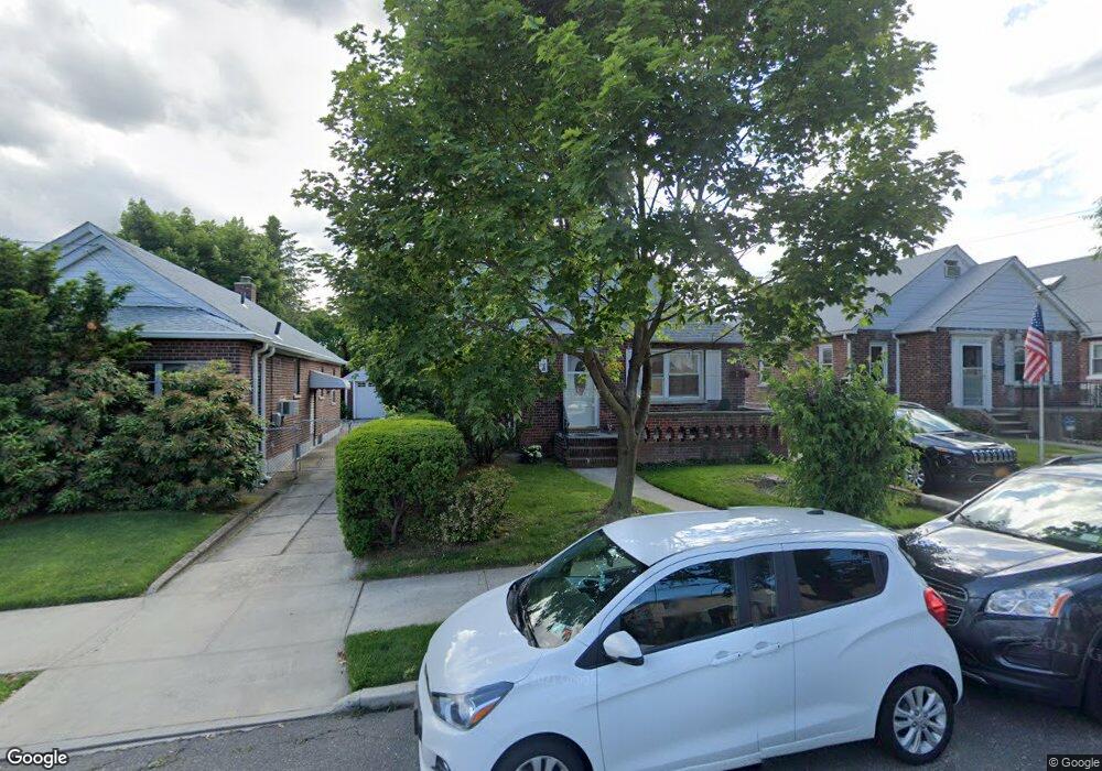
2932 202nd St Bayside, NY 11360
Auburndale NeighborhoodEstimated Value: $1,043,415 - $1,413,000
--
Bed
--
Bath
1,388
Sq Ft
$906/Sq Ft
Est. Value
About This Home
This home is located at 2932 202nd St, Bayside, NY 11360 and is currently estimated at $1,257,354, approximately $905 per square foot. 2932 202nd St is a home located in Queens County with nearby schools including P.S. 159 Queens, I.S. 25 Adrien Block, and Bayside High School.
Ownership History
Date
Name
Owned For
Owner Type
Purchase Details
Closed on
Apr 14, 2022
Sold by
Maggi Theresa A and Maggi Vincent J
Bought by
Donald Bruno As Trustee and Vincent And Theresa Maggi Trust
Current Estimated Value
Create a Home Valuation Report for This Property
The Home Valuation Report is an in-depth analysis detailing your home's value as well as a comparison with similar homes in the area
Home Values in the Area
Average Home Value in this Area
Purchase History
| Date | Buyer | Sale Price | Title Company |
|---|---|---|---|
| Donald Bruno As Trustee | -- | -- |
Source: Public Records
Tax History Compared to Growth
Tax History
| Year | Tax Paid | Tax Assessment Tax Assessment Total Assessment is a certain percentage of the fair market value that is determined by local assessors to be the total taxable value of land and additions on the property. | Land | Improvement |
|---|---|---|---|---|
| 2025 | $10,118 | $51,665 | $14,941 | $36,724 |
| 2024 | $10,118 | $50,376 | $15,298 | $35,078 |
| 2023 | $9,600 | $47,796 | $13,532 | $34,264 |
| 2022 | $9,026 | $64,380 | $17,820 | $46,560 |
| 2021 | $9,063 | $63,480 | $17,820 | $45,660 |
| 2020 | $9,113 | $67,440 | $17,820 | $49,620 |
| 2019 | $8,782 | $58,980 | $17,820 | $41,160 |
| 2018 | $8,119 | $39,830 | $11,385 | $28,445 |
| 2017 | $7,681 | $37,680 | $12,298 | $25,382 |
| 2016 | $7,174 | $37,680 | $12,298 | $25,382 |
| 2015 | $4,068 | $35,878 | $15,160 | $20,718 |
| 2014 | $4,068 | $34,984 | $14,916 | $20,068 |
Source: Public Records
Map
Nearby Homes
- 201-20 28th Ave
- 3211 204th St
- 202-09 33rd Ave
- 3321 201st St
- 26-23 Utopia Pkwy
- 2801 206th St
- 29-12 172nd St
- 20520 33rd Ave
- 3335 204th St
- 3337 204th St
- 205-06 26th Ave
- 32-12 208th St
- 19934 34th Ave
- 29-31 170th St
- 34-41 201st St
- 203-07 35th Ave Unit B
- 3454 201st St
- 28-34 Corporal Kennedy St
- 204-8 35th Ave Unit 247
- 204-12 35th Ave Unit 254