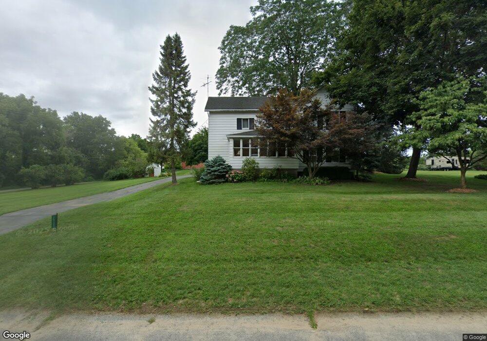
2932 76th St SW Byron Center, MI 49315
Estimated Value: $522,360 - $685,000
--
Bed
--
Bath
1,972
Sq Ft
$309/Sq Ft
Est. Value
About This Home
This home is located at 2932 76th St SW, Byron Center, MI 49315 and is currently estimated at $609,840, approximately $309 per square foot. 2932 76th St SW is a home located in Kent County with nearby schools including Brown Elementary School, Robert L. Nickels Intermediate School, and Byron Center West Middle School.
Ownership History
Date
Name
Owned For
Owner Type
Purchase Details
Closed on
May 21, 2018
Sold by
Zylstra Cheryl K
Bought by
Zylstra Kenneth L and Zylstra Cheryl K
Current Estimated Value
Purchase Details
Closed on
Dec 18, 2009
Sold by
Railside Golf Club Associates
Bought by
Railside Acquisition Llc
Purchase Details
Closed on
Jun 19, 2003
Sold by
Goorhouse Howard Jay and Zylstra Cheryl K
Bought by
Goorhouse Mary Jane and Mary Jane Goorhouse Trust
Create a Home Valuation Report for This Property
The Home Valuation Report is an in-depth analysis detailing your home's value as well as a comparison with similar homes in the area
Home Values in the Area
Average Home Value in this Area
Purchase History
| Date | Buyer | Sale Price | Title Company |
|---|---|---|---|
| Zylstra Kenneth L | -- | None Available | |
| Zylstra Cheryl K | -- | None Available | |
| Railside Acquisition Llc | -- | Macatawa Title | |
| Goorhouse Mary Jane | -- | -- |
Source: Public Records
Tax History Compared to Growth
Tax History
| Year | Tax Paid | Tax Assessment Tax Assessment Total Assessment is a certain percentage of the fair market value that is determined by local assessors to be the total taxable value of land and additions on the property. | Land | Improvement |
|---|---|---|---|---|
| 2025 | $2,348 | $230,500 | $0 | $0 |
| 2024 | $2,348 | $207,300 | $0 | $0 |
| 2023 | $2,245 | $183,100 | $0 | $0 |
| 2022 | $3,084 | $166,700 | $0 | $0 |
| 2021 | $3,002 | $157,100 | $0 | $0 |
| 2020 | $2,067 | $157,700 | $0 | $0 |
| 2019 | $2,930 | $148,900 | $0 | $0 |
| 2018 | $2,935 | $138,500 | $73,800 | $64,700 |
| 2017 | $2,959 | $122,600 | $0 | $0 |
| 2016 | $1,905 | $116,200 | $0 | $0 |
| 2015 | $2,704 | $116,200 | $0 | $0 |
| 2013 | -- | $101,800 | $0 | $0 |
Source: Public Records
Map
Nearby Homes
- 8030 Lionel Dr
- 2581 Ravines Trail Dr SW
- 2569 Ravines Trail Dr SW
- 2567 Ravines Trail Dr SW
- 2553 Ravines Trail Dr SW
- 8090 Country Rail Ct SW
- 3183 Railway Dr SW
- 7998 Byron Depot Dr SW
- 8138 Boardwalk Dr SW
- 8115 Byron Depot Dr SW
- 8393 Woodhaven Dr SW Unit 1
- 2740 Woodhaven Ct SW Unit 2
- Redwood Plan at Railside - Woodland Series
- Sycamore Plan at Railside - Woodland Series
- Bay Harbor Plan at Railside - Landmark Series
- Northport Plan at Railside - Landmark Series
- Pentwater Plan at Railside - Landmark Series
- Oakwood Plan at Railside - Woodland Series
- 8330 Rockledge Way SW Unit 92
- 3563 Conrail Dr
- 2950 76th St SW
- 2929 76th St SW
- 2959 76th St SW
- 3025 N Railyard Ct SW
- 7599 Red Osier Dr SW
- 3037 N Railyard Ct SW
- 3028 N Railyard Ct SW
- 7587 Red Osier Dr SW
- 7684 Railyard Dr SW
- 7524 Southwood Ave SW
- 7660 Railyard Dr SW
- 7512 Southwood Ave SW
- 7648 Railyard Dr SW
- 7517 Southwood Ave SW
- 7700 Railyard Dr SW
- 7559 Red Osier Dr SW
- 7630 Railyard Dr SW
- 7669 Railyard Dr SW
- 3050 S Railyard Ct SW
- 7490 Southwood Ave SW