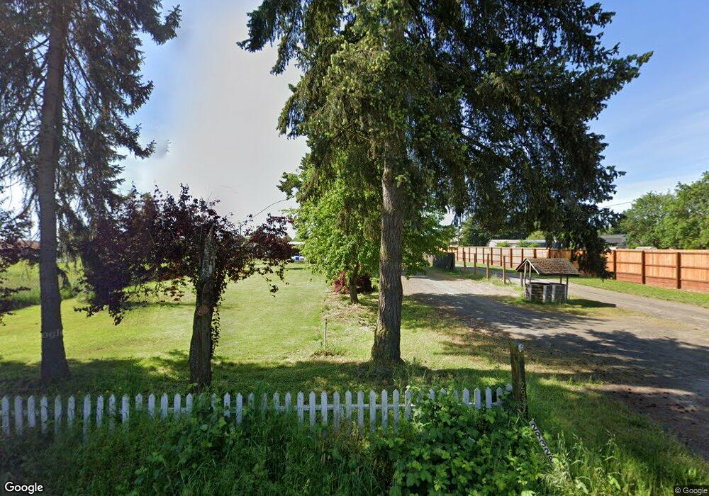
29328 Dane Ln Junction City, OR 97448
Estimated Value: $414,000 - $522,000
5
Beds
1
Bath
1,725
Sq Ft
$270/Sq Ft
Est. Value
About This Home
This home is located at 29328 Dane Ln, Junction City, OR 97448 and is currently estimated at $466,055, approximately $270 per square foot. 29328 Dane Ln is a home with nearby schools including Junction City High School.
Ownership History
Date
Name
Owned For
Owner Type
Purchase Details
Closed on
Sep 20, 2019
Sold by
Fielder Dorothy M
Bought by
Federal Home Loan Mortgage Corporation
Current Estimated Value
Purchase Details
Closed on
Sep 4, 1998
Sold by
Teall Daniel L and Teall Sandy F
Bought by
Fielder Dorothy M
Home Financials for this Owner
Home Financials are based on the most recent Mortgage that was taken out on this home.
Original Mortgage
$94,500
Interest Rate
6.88%
Create a Home Valuation Report for This Property
The Home Valuation Report is an in-depth analysis detailing your home's value as well as a comparison with similar homes in the area
Home Values in the Area
Average Home Value in this Area
Purchase History
| Date | Buyer | Sale Price | Title Company |
|---|---|---|---|
| Federal Home Loan Mortgage Corporation | $73,020 | None Available | |
| Fielder Dorothy M | $105,000 | Fidelity National Title Ins |
Source: Public Records
Mortgage History
| Date | Status | Borrower | Loan Amount |
|---|---|---|---|
| Previous Owner | Fielder Dorothy M | $94,500 |
Source: Public Records
Tax History Compared to Growth
Tax History
| Year | Tax Paid | Tax Assessment Tax Assessment Total Assessment is a certain percentage of the fair market value that is determined by local assessors to be the total taxable value of land and additions on the property. | Land | Improvement |
|---|---|---|---|---|
| 2025 | $2,457 | $221,358 | -- | -- |
| 2024 | $2,363 | $214,911 | -- | -- |
| 2023 | $2,363 | $208,652 | $0 | $0 |
| 2022 | $2,192 | $202,575 | $0 | $0 |
| 2021 | $2,064 | $187,963 | $0 | $0 |
| 2020 | $3,096 | $283,226 | $0 | $0 |
| 2019 | $2,977 | $274,977 | $0 | $0 |
| 2018 | $2,892 | $259,192 | $0 | $0 |
| 2017 | $2,781 | $259,192 | $0 | $0 |
| 2016 | $2,705 | $251,643 | $0 | $0 |
| 2015 | $2,265 | $244,314 | $0 | $0 |
| 2014 | $2,321 | $237,198 | $0 | $0 |
Source: Public Records
Map
Nearby Homes
- 346 E 10th Place
- 1021 Deal St
- 954 Elm St
- 810 Birch St
- 1480 Ivy St
- 930 Holly St
- 0 Holly St
- 617 Juniper St
- 271 Alder St
- 1090 Nyssa St
- 920 W 10th Ave
- 1036 Oak St
- 145 River Rd Unit 12
- 145 River Rd
- 1225 W 10th Ave Unit 26
- 1225 W 10th Ave Unit 28
- 1225 W 10th Ave Unit 50
- 1225 W 10th Ave Unit 53
- 1011 Rose St
- 850 Spruce St