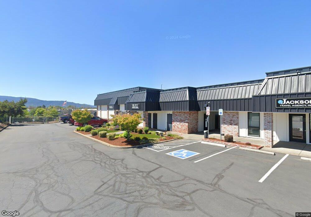
2933 Bullock Rd Medford, OR 97504
Estimated Value: $544,691
--
Bed
--
Bath
3,788
Sq Ft
$144/Sq Ft
Est. Value
About This Home
This home is located at 2933 Bullock Rd, Medford, OR 97504 and is currently estimated at $544,691, approximately $143 per square foot. 2933 Bullock Rd is a home located in Jackson County with nearby schools including Wilson Elementary School, Hedrick Middle School, and North Medford High School.
Ownership History
Date
Name
Owned For
Owner Type
Purchase Details
Closed on
Nov 19, 2020
Sold by
Rasmussen David E and Estate Of Glena L Rasmussen
Bought by
Nautical Bliss Llc
Current Estimated Value
Purchase Details
Closed on
Nov 13, 2018
Sold by
Rasmussekk David E and Jackson Travei
Bought by
Rasmussen David E and Rasmussen Trust
Purchase Details
Closed on
Nov 10, 2000
Sold by
Rasmussen David E and Rasmussen Glena L
Bought by
Rasmussen David E and Rasmussen Glena L
Create a Home Valuation Report for This Property
The Home Valuation Report is an in-depth analysis detailing your home's value as well as a comparison with similar homes in the area
Home Values in the Area
Average Home Value in this Area
Purchase History
| Date | Buyer | Sale Price | Title Company |
|---|---|---|---|
| Nautical Bliss Llc | $449,500 | First American | |
| Rasmussen David E | -- | None Available | |
| Rasmussen David E | -- | Key Title Company |
Source: Public Records
Tax History Compared to Growth
Tax History
| Year | Tax Paid | Tax Assessment Tax Assessment Total Assessment is a certain percentage of the fair market value that is determined by local assessors to be the total taxable value of land and additions on the property. | Land | Improvement |
|---|---|---|---|---|
| 2025 | $9,266 | $638,920 | $109,200 | $529,720 |
| 2024 | $9,266 | $620,320 | $106,020 | $514,300 |
| 2023 | $8,982 | $602,260 | $102,930 | $499,330 |
| 2022 | $8,763 | $602,260 | $102,930 | $499,330 |
| 2021 | $5,034 | $694,840 | $99,940 | $594,900 |
| 2020 | $4,928 | $334,800 | $97,030 | $237,770 |
| 2019 | $4,812 | $315,590 | $91,460 | $224,130 |
| 2018 | $4,688 | $306,400 | $88,800 | $217,600 |
| 2017 | $4,604 | $306,400 | $88,800 | $217,600 |
| 2016 | $4,634 | $288,820 | $83,710 | $205,110 |
| 2015 | $4,454 | $288,820 | $83,710 | $205,110 |
| 2014 | $4,376 | $272,250 | $78,900 | $193,350 |
Source: Public Records
Map
Nearby Homes
- 246 Reanna Way
- 2215 Poplar Dr Unit 2
- 2541 Gould Ave
- 1580 Delta Waters Rd
- 1924 Sky Park Dr
- 2722 American Ave
- 1448 Carolyn Cir
- 529 Black Bear Dr
- 3937 Wyoming Ln
- 2252 Table Rock Rd Unit 128
- 2252 Table Rock Rd Unit 97
- 2252 Table Rock Rd Unit SPC 102
- 2252 Table Rock Rd Unit SPC 228
- 2252 Table Rock Rd Unit SPC 100
- 2252 Table Rock Rd Unit SPC 232
- 1588 Nordic Ct
- 811 O'Hare Pkwy
- 1202 Morrow Rd Unit A
- 2336 Table Rock Rd
- 1212 Morrow Rd
- 2821 Bullock Rd
- 2880 Nansen Dr Unit 2
- 2880 Nansen Dr Unit 1
- 2870 Nansen Dr
- 2884 Nansen Dr
- 2943 Bullock Rd
- 2878 Nansen Dr
- 2892 Nansen Dr
- 0 Nansen Dr
- 2677 Bullock Rd
- 2825 Nansen St
- 2827 Nansen St
- 1163 Knutson Ave
- 1160 Fisher Ave
- 1150 Knutson Ave Unit 9
- 1150 Knutson Ave Unit 11
- 1150 Knutson Ave Unit 8-9
- 1150 Knutson Ave Unit 10
- 1150 Knutson Ave Unit 8
- 1150 Knutson Ave