2933 Lovango Landing Lansing, MI 48911
Lansing-Eaton NeighborhoodEstimated Value: $674,000 - $889,000
4
Beds
5
Baths
5,380
Sq Ft
$139/Sq Ft
Est. Value
About This Home
This home is located at 2933 Lovango Landing, Lansing, MI 48911 and is currently estimated at $745,775, approximately $138 per square foot. 2933 Lovango Landing is a home located in Eaton County with nearby schools including Averill Elementary School, Attwood School, and J.W. Sexton High School.
Ownership History
Date
Name
Owned For
Owner Type
Purchase Details
Closed on
Oct 31, 2013
Sold by
Phan Ha Thu
Bought by
Stevens Christopher P and Stevens Kirsty J
Current Estimated Value
Home Financials for this Owner
Home Financials are based on the most recent Mortgage that was taken out on this home.
Original Mortgage
$275,000
Outstanding Balance
$207,258
Interest Rate
4.5%
Mortgage Type
New Conventional
Estimated Equity
$538,517
Purchase Details
Closed on
Dec 3, 2007
Sold by
Ha Phan Thi Thu and Nguyen Minh Quoc
Bought by
Nguyen Minh Quoc and Nguyen Thao
Purchase Details
Closed on
Apr 9, 2007
Sold by
Ha Phan Thi Thu and Nguyen Minh Quoc
Bought by
Ha Phan Thi Thu and Nguyen Minh Quoc
Purchase Details
Closed on
Oct 27, 2005
Sold by
Ha Phan Thi Thu
Bought by
Ha Phan Thi Thu and Nguyen Minh Quoc
Create a Home Valuation Report for This Property
The Home Valuation Report is an in-depth analysis detailing your home's value as well as a comparison with similar homes in the area
Home Values in the Area
Average Home Value in this Area
Purchase History
| Date | Buyer | Sale Price | Title Company |
|---|---|---|---|
| Stevens Christopher P | $275,000 | Bell Title Company | |
| Nguyen Minh Quoc | -- | Old Republic Title Company | |
| Ha Phan Thi Thu | -- | None Available | |
| Ha Phan Thi Thu | -- | -- |
Source: Public Records
Mortgage History
| Date | Status | Borrower | Loan Amount |
|---|---|---|---|
| Open | Stevens Christopher P | $275,000 |
Source: Public Records
Tax History Compared to Growth
Tax History
| Year | Tax Paid | Tax Assessment Tax Assessment Total Assessment is a certain percentage of the fair market value that is determined by local assessors to be the total taxable value of land and additions on the property. | Land | Improvement |
|---|---|---|---|---|
| 2025 | $11,902 | $321,700 | $0 | $0 |
| 2024 | $6,780 | $297,300 | $0 | $0 |
| 2023 | $5,404 | $236,800 | $0 | $0 |
| 2022 | $6,012 | $156,100 | $0 | $0 |
| 2021 | $5,746 | $149,400 | $0 | $0 |
| 2020 | $5,742 | $147,300 | $0 | $0 |
| 2019 | $5,598 | $146,709 | $0 | $0 |
| 2018 | $5,034 | $137,500 | $0 | $0 |
| 2017 | $4,928 | $136,700 | $0 | $0 |
| 2016 | -- | $133,600 | $0 | $0 |
| 2015 | -- | $133,400 | $0 | $0 |
| 2014 | -- | $129,900 | $0 | $0 |
| 2013 | -- | $128,000 | $0 | $0 |
Source: Public Records
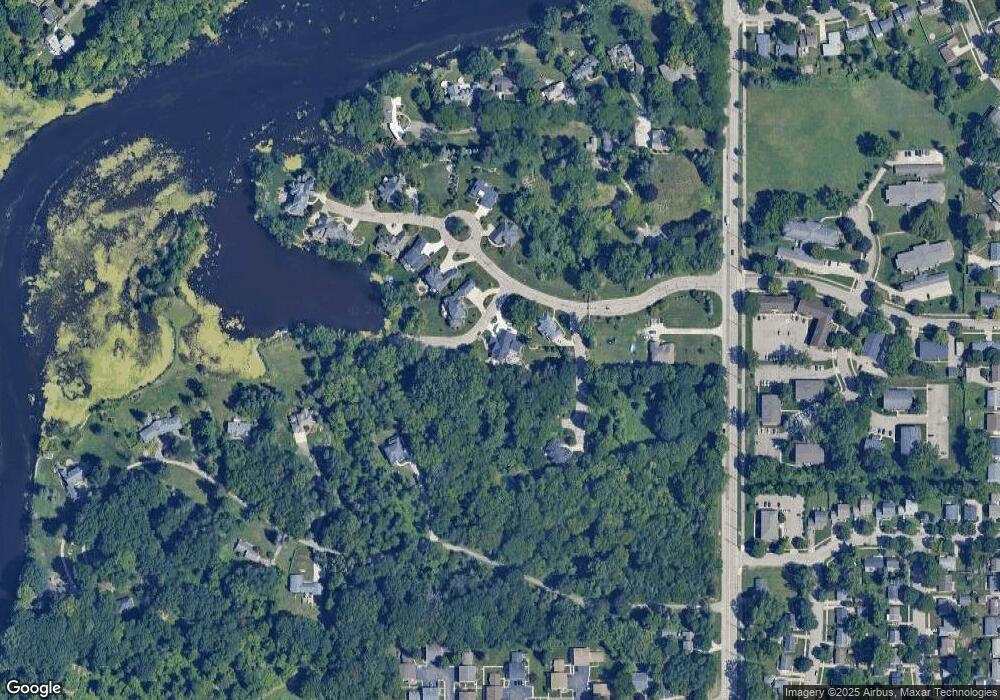
Map
Nearby Homes
- 2800 S Waverly Hwy
- 2 Locust Ln
- 4.5 Locust Ln
- 3600 Sandhurst Dr
- 3811 Cooley Dr
- 3510 Christine Dr
- 2838 Sunderland Rd
- 3700 W Holmes Rd
- 3614 Cooley Dr
- 3425 Cooley Dr
- 3421 Troon Cir Unit 29
- 3416 Cooley Dr
- 3200 Lawdor Rd
- 3214 Gingersnap Ln
- 3601 Muirfield Dr
- 3508 Muirfield Dr
- 4130 Windward Dr
- 0 S Deerfield Ave
- 4018 Clayborn Rd
- 2710 Bedford Rd
- 3004 Baywater Dr Unit 19
- 3010 Baywater Dr
- 3016 Baywater Dr
- 2932 Lovango Landing
- Lot 22 Baywater Dr
- Lot 21 Baywater Dr
- 4006 Harbour Cove
- 0 Baywater Dr
- 4015 Harbour Cove
- 4117 Harbour Cove Unit 16
- 4132 Harbour Cove
- 4104 Harbour Cove
- 4120 Harbour Cove
- 4128 Harbour Cove
- 4012 Harbour Cove Unit 2
- 3028 Baywater Dr
- 4116 Harbour Cove Unit 4
- 0 Harbour Cove
- 0 Harbour Cove Unit 630000224492
- 0 Harbour Cove Unit 630000219422