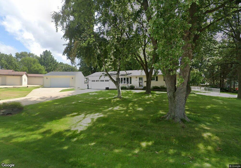
2933 Nondahl Cir Madison, WI 53718
Estimated Value: $363,584 - $492,000
3
Beds
1
Bath
1,618
Sq Ft
$262/Sq Ft
Est. Value
About This Home
This home is located at 2933 Nondahl Cir, Madison, WI 53718 and is currently estimated at $423,146, approximately $261 per square foot. 2933 Nondahl Cir is a home located in Dane County with nearby schools including Taylor Prairie Elementary School, Glacial Drumlin School, and Cottage Grove Elementary School.
Ownership History
Date
Name
Owned For
Owner Type
Purchase Details
Closed on
Jan 16, 2008
Sold by
Gary Margaret A
Bought by
Schwandt Scott S
Current Estimated Value
Home Financials for this Owner
Home Financials are based on the most recent Mortgage that was taken out on this home.
Original Mortgage
$10,000
Outstanding Balance
$6,315
Interest Rate
6.17%
Mortgage Type
Credit Line Revolving
Estimated Equity
$416,831
Create a Home Valuation Report for This Property
The Home Valuation Report is an in-depth analysis detailing your home's value as well as a comparison with similar homes in the area
Home Values in the Area
Average Home Value in this Area
Purchase History
| Date | Buyer | Sale Price | Title Company |
|---|---|---|---|
| Schwandt Scott S | $66,600 | Dane County Title Company |
Source: Public Records
Mortgage History
| Date | Status | Borrower | Loan Amount |
|---|---|---|---|
| Open | Schwandt Scott S | $10,000 |
Source: Public Records
Tax History Compared to Growth
Tax History
| Year | Tax Paid | Tax Assessment Tax Assessment Total Assessment is a certain percentage of the fair market value that is determined by local assessors to be the total taxable value of land and additions on the property. | Land | Improvement |
|---|---|---|---|---|
| 2024 | $4,574 | $256,600 | $66,500 | $190,100 |
| 2023 | $4,209 | $256,600 | $66,500 | $190,100 |
| 2021 | $4,139 | $256,600 | $66,500 | $190,100 |
| 2020 | $4,030 | $187,900 | $51,600 | $136,300 |
| 2019 | $3,853 | $187,900 | $51,600 | $136,300 |
| 2018 | $3,279 | $169,700 | $51,600 | $118,100 |
| 2017 | $3,359 | $169,700 | $51,600 | $118,100 |
| 2016 | $3,425 | $169,700 | $51,600 | $118,100 |
| 2015 | $3,297 | $169,700 | $51,600 | $118,100 |
| 2014 | $3,259 | $169,700 | $51,600 | $118,100 |
| 2013 | $3,336 | $169,700 | $51,600 | $118,100 |
Source: Public Records
Map
Nearby Homes
- 543 Buss Rd
- 555 Buss Rd
- 3163 Drumlin Ridge Dr
- 3169 Drumlin Ridge Dr
- 3161 Drumlin Ridge Dr
- 3159 Drumlin Ridge Dr
- 3173 Drumlin Ridge Dr
- 3017 Red Hawk Trail
- 3157 Drumlin Ridge Dr
- 3175 Drumlin Ridge Dr
- 3177 Drumlin Ridge Dr
- 3179 Drumlin Ridge Dr
- 3181 Drumlin Ridge Dr
- 542 Shady St
- The Lily Plan at Shady Grove
- The Walnut Plan at Shady Grove
- The Mulberry Plan at Shady Grove
- The Clare Plan at Shady Grove
- The Maple Plan at Shady Grove
- The Alpine Plan at Shady Grove
- 2922 Lane St
- 2941 Nondahl Cir
- 2916 Lane St
- 2931 Nondahl Cir
- 2940 Nondahl Cir
- 2944 Nondahl Cir
- 2928 Lane St
- 2945 Nondahl Cir
- 2932 Nondahl Cir
- 2912 Lane St
- 2936 Nondahl Cir
- 2915 Lane St
- 4522 Greengrass Rd
- 4528 Greengrass Rd
- 2934 Lane St
- 4534 Greengrass Rd
- 4514 Greengrass Rd
- 2925 Lane St
- 2940 Lane St
- 4506 Greengrass Rd