29332 N Virginia Ln Wauconda, IL 60084
Estimated Value: $766,000 - $827,556
--
Bed
1
Bath
4,499
Sq Ft
$179/Sq Ft
Est. Value
About This Home
This home is located at 29332 N Virginia Ln, Wauconda, IL 60084 and is currently estimated at $804,889, approximately $178 per square foot. 29332 N Virginia Ln is a home located in Lake County with nearby schools including Robert Crown School, Wauconda Middle School, and Wauconda High School.
Ownership History
Date
Name
Owned For
Owner Type
Purchase Details
Closed on
Dec 11, 2011
Sold by
Fidler Thomas A and Fidler Jane A
Bought by
Boron Robert P and Robert P Boron Revocable Trust
Current Estimated Value
Purchase Details
Closed on
Jul 15, 2004
Sold by
Desfor Barry D and Barry D Desfor Declaration Of
Bought by
Fidler Thomas A and Fidler Jane A
Purchase Details
Closed on
Dec 26, 2002
Sold by
Desfor Barry D and Desfor Sharon
Bought by
Decla Desfor Barry D and Decla Barry D Desfor Revocable
Purchase Details
Closed on
Jun 2, 1995
Sold by
Lasalle National Trust Na
Bought by
Desfor Barry D and Desfor Sharon
Create a Home Valuation Report for This Property
The Home Valuation Report is an in-depth analysis detailing your home's value as well as a comparison with similar homes in the area
Home Values in the Area
Average Home Value in this Area
Purchase History
| Date | Buyer | Sale Price | Title Company |
|---|---|---|---|
| Boron Robert P | $165,000 | Multiple | |
| Fidler Thomas A | $160,000 | -- | |
| Decla Desfor Barry D | -- | -- | |
| Desfor Barry D | $105,000 | Chicago Title Insurance Co |
Source: Public Records
Tax History Compared to Growth
Tax History
| Year | Tax Paid | Tax Assessment Tax Assessment Total Assessment is a certain percentage of the fair market value that is determined by local assessors to be the total taxable value of land and additions on the property. | Land | Improvement |
|---|---|---|---|---|
| 2024 | $15,796 | $230,837 | $23,604 | $207,233 |
| 2023 | $17,486 | $211,003 | $21,576 | $189,427 |
| 2022 | $17,486 | $205,422 | $36,110 | $169,312 |
| 2021 | $17,166 | $194,106 | $34,121 | $159,985 |
| 2020 | $2,460 | $32,521 | $32,521 | $0 |
| 2019 | $2,643 | $30,735 | $30,735 | $0 |
| 2018 | $2,185 | $23,018 | $23,018 | $0 |
| 2017 | $2,181 | $22,752 | $22,752 | $0 |
| 2016 | $2,078 | $21,545 | $21,545 | $0 |
| 2015 | $2,012 | $19,779 | $19,779 | $0 |
| 2014 | $2,859 | $30,432 | $30,432 | $0 |
| 2012 | $2,760 | $29,117 | $29,117 | $0 |
Source: Public Records
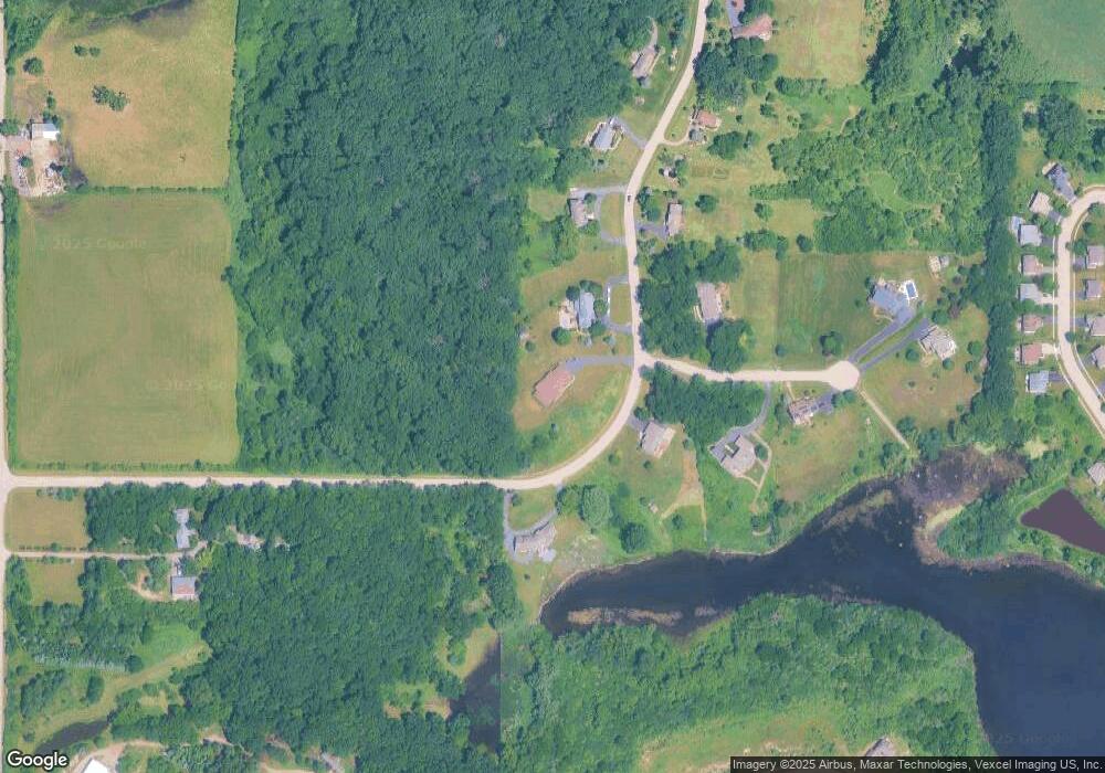
Map
Nearby Homes
- 29564 N Garland Rd
- 28855 N Garland Rd
- 28722 N Madison Ave
- 29650 N Garland Rd
- 2227 Trailside Ln Unit 1B
- 2460 Savanna Dr
- 2511 Bluewater Dr Unit 1A
- 0 Bonner Rd
- 29295 N Callahan Rd
- 1260 Water Stone Cir
- 2810 Cattail Ct Unit B
- 2800 Cattail Ct Unit A
- 2820 Glacier Way Unit B
- 2800 Sweet Clover Way
- 2490 Olivia Ct
- 2486 Olivia Ct
- 2472 Olivia Ct
- 26241 W Bonner Rd
- 2403 Goldenrod Way
- 2483 Olivia Ct
- 29360 N Virginia Ln
- 29253 N Virginia Ln
- 29388 N Virginia Ln
- 29359 N Virginia Ln
- 29385 N Virginia Ln
- 25345 W Timothy Trail
- 29420 N Virginia Ln
- 29411 N Virginia Ln
- 25352 Timothy Trail
- 25427 W Robin Ct
- 29072 N Wade St
- 29064 N Wade St
- 29086 N Wade St
- 29237 N Garland Rd
- 25310 Timothy Trail
- 29052 N Wade St
- 29449 N Virginia Ln
- 25439 W Robin Ct
- 1903 Applewood Dr
- 1905 Applewood Dr