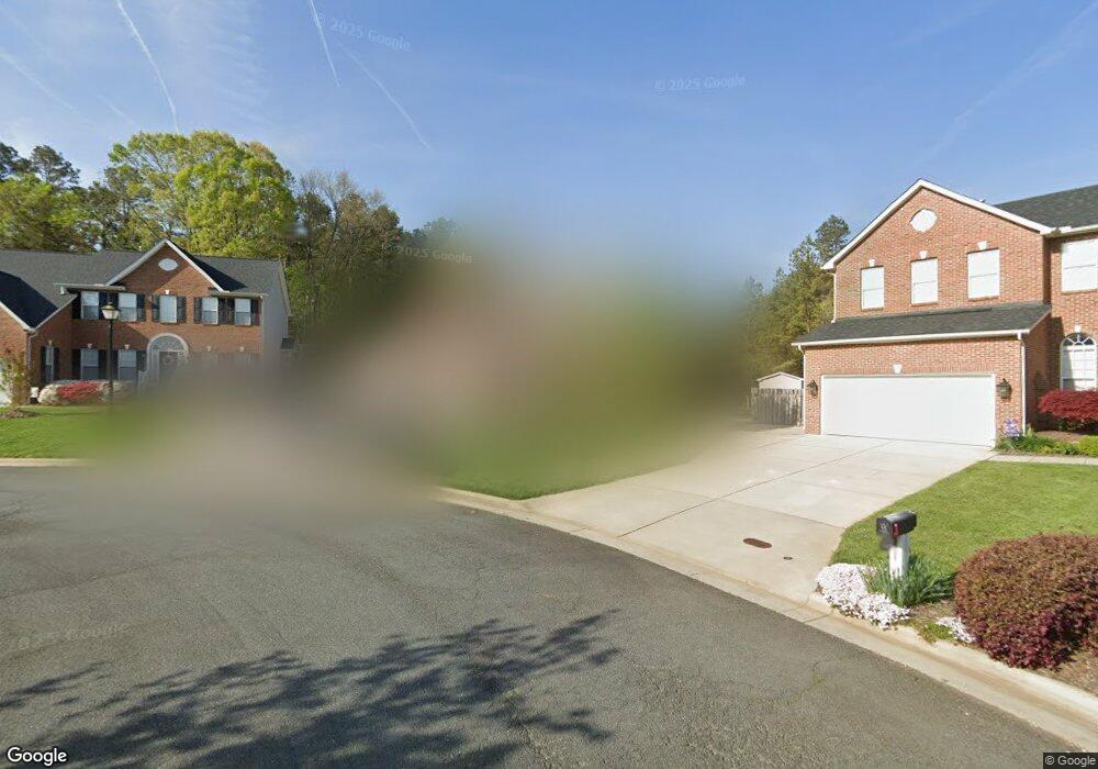
2934 Logbridge Rd High Point, NC 27265
Bent Tree NeighborhoodEstimated Value: $429,000 - $457,000
5
Beds
3
Baths
2,582
Sq Ft
$171/Sq Ft
Est. Value
About This Home
This home is located at 2934 Logbridge Rd, High Point, NC 27265 and is currently estimated at $440,967, approximately $170 per square foot. 2934 Logbridge Rd is a home located in Guilford County with nearby schools including Southwest Elementary School, Southwest Guilford Middle School, and Southwest Guilford High School.
Ownership History
Date
Name
Owned For
Owner Type
Purchase Details
Closed on
Nov 26, 2001
Sold by
Westminster Homes Inc
Bought by
Woodbury Eric C and Woodbury Cynthia A
Current Estimated Value
Home Financials for this Owner
Home Financials are based on the most recent Mortgage that was taken out on this home.
Original Mortgage
$245,000
Outstanding Balance
$95,877
Interest Rate
6.59%
Estimated Equity
$345,090
Create a Home Valuation Report for This Property
The Home Valuation Report is an in-depth analysis detailing your home's value as well as a comparison with similar homes in the area
Home Values in the Area
Average Home Value in this Area
Purchase History
| Date | Buyer | Sale Price | Title Company |
|---|---|---|---|
| Woodbury Eric C | $242,500 | -- |
Source: Public Records
Mortgage History
| Date | Status | Borrower | Loan Amount |
|---|---|---|---|
| Open | Woodbury Eric C | $245,000 |
Source: Public Records
Tax History
| Year | Tax Paid | Tax Assessment Tax Assessment Total Assessment is a certain percentage of the fair market value that is determined by local assessors to be the total taxable value of land and additions on the property. | Land | Improvement |
|---|---|---|---|---|
| 2025 | $4,976 | $361,100 | $85,000 | $276,100 |
| 2024 | $4,976 | $361,100 | $85,000 | $276,100 |
| 2023 | $4,976 | $361,100 | $85,000 | $276,100 |
| 2022 | $4,868 | $361,100 | $85,000 | $276,100 |
| 2021 | $3,030 | $219,900 | $48,000 | $171,900 |
| 2020 | $3,030 | $219,900 | $48,000 | $171,900 |
| 2019 | $3,030 | $219,900 | $0 | $0 |
| 2018 | $3,015 | $219,900 | $0 | $0 |
| 2017 | $3,015 | $219,900 | $0 | $0 |
| 2016 | $2,715 | $193,600 | $0 | $0 |
| 2015 | $2,730 | $193,600 | $0 | $0 |
| 2014 | $2,776 | $193,600 | $0 | $0 |
Source: Public Records
Map
Nearby Homes
- 3025 Sycamore Point Trail
- 4217 Chilton Way
- 4358 Ashton Oaks Ct
- 3023 Maple Branch Dr
- 4304 Hardin Ct
- 3114 Ironwood Flat Dr
- 3273 Alyssa Way
- 2309 Faircloth Way
- 4423 Saddlewood Club Dr
- 2472 Birch View Dr
- 2431 Tweedmore Ct
- 3477 Lilliefield Ln
- 4001 Tesa Ct
- 4008 Deerfield St
- 4423 Hunter Oaks Ct
- 3924 Braddock Rd
- 1515 Skeet Club Rd
- 2459 Tannin Ct
- 1517 Skeet Club Rd
- 4630 White Beard Rd
- 2936 Logbridge Rd
- 2935 Logbridge Rd
- 2930 Logbridge Rd
- 2940 Logbridge Rd
- 2931 Logbridge Rd
- 2944 Logbridge Rd
- 2939 Logbridge Rd
- 2943 Logbridge Rd
- 2948 Logbridge Rd
- 2914 Shady View Dr
- 4347 Thistle Down Ct
- 2950 Logbridge Rd
- 4351 Thistle Down Ct
- 295 Logbridge Rd
- 2954 Logbridge Rd
- 4353 Thistle Down Ct
- 2951 Logbridge Rd
- 4325 Twisting Creek Dr
- 2958 Logbridge Rd
- 4329 Twisting Creek Dr
Your Personal Tour Guide
Ask me questions while you tour the home.