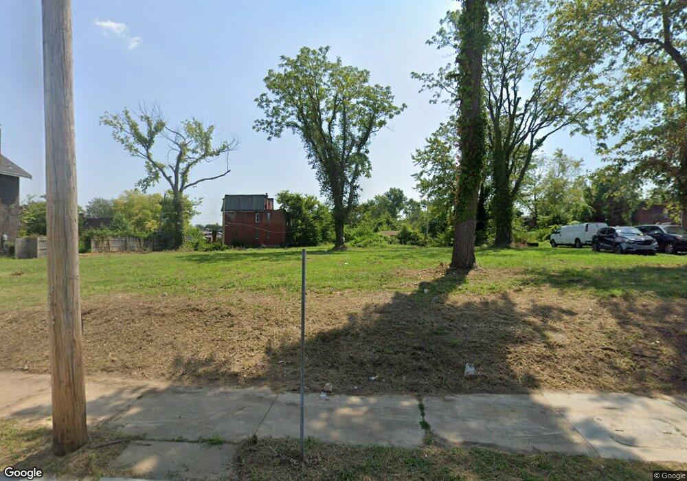
2934 N Euclid Ave Saint Louis, MO 63115
Kingsway NeighborhoodEstimated Value: $85,000 - $121,000
--
Bed
1
Bath
1,400
Sq Ft
$74/Sq Ft
Est. Value
About This Home
This home is located at 2934 N Euclid Ave, Saint Louis, MO 63115 and is currently estimated at $103,000, approximately $73 per square foot. 2934 N Euclid Ave is a home located in St. Louis City with nearby schools including Hickey Elementary School, Sumner High School, and North Side Community Elementary School.
Ownership History
Date
Name
Owned For
Owner Type
Purchase Details
Closed on
Feb 8, 2023
Sold by
Johnson Maxine
Bought by
Peoples Project Corporation and Joseph Project Corporation
Current Estimated Value
Purchase Details
Closed on
Mar 21, 2014
Sold by
Davis Keith and Davis Maxine
Bought by
Johnson Maxine
Purchase Details
Closed on
Jun 16, 2012
Sold by
Johnson Maxine
Bought by
Davis Keith and Davis Maxine
Purchase Details
Closed on
Mar 31, 2011
Sold by
Underwood Connie D
Bought by
Johnson Maxine S Underwood
Create a Home Valuation Report for This Property
The Home Valuation Report is an in-depth analysis detailing your home's value as well as a comparison with similar homes in the area
Home Values in the Area
Average Home Value in this Area
Purchase History
| Date | Buyer | Sale Price | Title Company |
|---|---|---|---|
| Peoples Project Corporation | -- | None Listed On Document | |
| Johnson Maxine | -- | None Available | |
| Davis Keith | -- | None Available | |
| Johnson Maxine S Underwood | -- | None Available |
Source: Public Records
Tax History Compared to Growth
Tax History
| Year | Tax Paid | Tax Assessment Tax Assessment Total Assessment is a certain percentage of the fair market value that is determined by local assessors to be the total taxable value of land and additions on the property. | Land | Improvement |
|---|---|---|---|---|
| 2025 | $53 | $630 | $630 | -- |
| 2024 | $50 | $630 | $630 | -- |
| 2023 | $50 | $630 | $630 | $0 |
| 2022 | $80 | $630 | $630 | $0 |
| 2021 | $80 | $630 | $630 | $0 |
| 2020 | $80 | $630 | $630 | $0 |
| 2019 | $95 | $820 | $630 | $190 |
| 2018 | $97 | $820 | $630 | $190 |
| 2017 | $96 | $820 | $630 | $190 |
| 2016 | $148 | $1,430 | $1,240 | $190 |
| 2015 | $137 | $1,430 | $1,240 | $190 |
| 2014 | $250 | $1,430 | $1,240 | $190 |
| 2013 | -- | $2,930 | $1,240 | $1,690 |
Source: Public Records
Map
Nearby Homes
- 2834 N Euclid Ave
- 2832 N Euclid Ave
- 4830 Ashland Ave
- 4810 Saint Louis Ave
- 4822 Ashland Ave
- 4950 Labadie Ave
- 4755 Saint Louis Ave
- 4741 Greer Ave
- 4753 Maffitt Ave
- 4845-4847 Northland Ave
- 4860 Northland Ave
- 4721 Northland Ave
- 5049 Saint Louis Ave
- 4669 Elmbank Ave
- 5426 N Euclid Ave
- 5483 N Euclid Ave
- 5429 N Euclid Ave
- 5437 N Euclid Ave
- 4627 Maffitt Ave
- 5151 Terry Ave
- 2928 N Euclid Ave
- 2938 N Euclid Ave
- 2926 N Euclid Ave
- 2942 N Euclid Ave
- 2920 N Euclid Ave
- 2944 N Euclid Ave
- 4854 Greer Ave
- 4859 Labadie Ave
- 4852 Greer Ave
- 2914 N Euclid Ave
- 4855 Labadie Ave
- 4853 Labadie Ave
- 4848 Greer Ave
- 4902 Labadie Ave
- 4851 Labadie Ave
- 4846 Greer Ave
- 4908 Labadie Ave
- 4844 Greer Ave
- 4847 Labadie Ave
- 4912 Labadie Ave