29345 Paint Mine Rd Calhan, CO 80808
Estimated Value: $401,000 - $587,000
3
Beds
2
Baths
1,872
Sq Ft
$255/Sq Ft
Est. Value
About This Home
This home is located at 29345 Paint Mine Rd, Calhan, CO 80808 and is currently estimated at $478,059, approximately $255 per square foot. 29345 Paint Mine Rd is a home located in El Paso County with nearby schools including Calhan Elementary School, Calhan Middle School, and Calhan Secondary School.
Ownership History
Date
Name
Owned For
Owner Type
Purchase Details
Closed on
Feb 5, 2021
Sold by
Schmit Roderick W
Bought by
Schmit Roberick W and Stiles Amanda L
Current Estimated Value
Purchase Details
Closed on
Aug 1, 2019
Sold by
Southern David F
Bought by
Schmit Roderick W
Home Financials for this Owner
Home Financials are based on the most recent Mortgage that was taken out on this home.
Original Mortgage
$274,900
Outstanding Balance
$240,762
Interest Rate
3.7%
Mortgage Type
New Conventional
Estimated Equity
$237,297
Purchase Details
Closed on
May 9, 2013
Sold by
Southern David F
Bought by
Southern David F and Southern Rachel
Home Financials for this Owner
Home Financials are based on the most recent Mortgage that was taken out on this home.
Original Mortgage
$229,957
Interest Rate
3.56%
Mortgage Type
VA
Purchase Details
Closed on
Apr 15, 2011
Sold by
Joel Martin L and Santana Carmela D
Bought by
Southern David F
Home Financials for this Owner
Home Financials are based on the most recent Mortgage that was taken out on this home.
Original Mortgage
$232,425
Interest Rate
4.92%
Mortgage Type
VA
Purchase Details
Closed on
Jul 28, 2003
Sold by
Anderson Eugene T and Anderson Debbie B
Bought by
Joel Martin L and Santana Carmela D
Home Financials for this Owner
Home Financials are based on the most recent Mortgage that was taken out on this home.
Original Mortgage
$126,900
Interest Rate
5.19%
Mortgage Type
Purchase Money Mortgage
Purchase Details
Closed on
May 23, 1997
Sold by
Gregory Gerald L and Gregory Sherry L
Bought by
Anderson Eugene T and Anderson Debbie B
Home Financials for this Owner
Home Financials are based on the most recent Mortgage that was taken out on this home.
Original Mortgage
$92,250
Interest Rate
8.1%
Purchase Details
Closed on
Jan 21, 1997
Sold by
Penfield Donald A and Penfield Alice Y
Bought by
Gregory Gerald L and Gregory Sherry L
Home Financials for this Owner
Home Financials are based on the most recent Mortgage that was taken out on this home.
Original Mortgage
$56,000
Interest Rate
7.57%
Purchase Details
Closed on
May 22, 1990
Bought by
Southern Rachel
Purchase Details
Closed on
Oct 27, 1989
Bought by
Southern Rachel
Purchase Details
Closed on
Feb 22, 1985
Bought by
Southern Rachel
Create a Home Valuation Report for This Property
The Home Valuation Report is an in-depth analysis detailing your home's value as well as a comparison with similar homes in the area
Home Values in the Area
Average Home Value in this Area
Purchase History
| Date | Buyer | Sale Price | Title Company |
|---|---|---|---|
| Schmit Roberick W | -- | None Available | |
| Schmit Roderick W | $374,900 | Capital Title | |
| Southern David F | -- | Capital Title | |
| Southern David F | $225,000 | Empire Title Co Springs Llc | |
| Joel Martin L | $141,000 | North American Title Co | |
| Anderson Eugene T | $102,500 | -- | |
| Gregory Gerald L | $56,000 | Unified Title Co Inc | |
| Southern Rachel | $54,900 | -- | |
| Southern Rachel | -- | -- | |
| Southern Rachel | -- | -- |
Source: Public Records
Mortgage History
| Date | Status | Borrower | Loan Amount |
|---|---|---|---|
| Open | Schmit Roderick W | $274,900 | |
| Previous Owner | Southern David F | $229,957 | |
| Previous Owner | Southern David F | $232,425 | |
| Previous Owner | Joel Martin L | $126,900 | |
| Previous Owner | Anderson Eugene T | $92,250 | |
| Previous Owner | Gregory Gerald L | $56,000 |
Source: Public Records
Tax History Compared to Growth
Tax History
| Year | Tax Paid | Tax Assessment Tax Assessment Total Assessment is a certain percentage of the fair market value that is determined by local assessors to be the total taxable value of land and additions on the property. | Land | Improvement |
|---|---|---|---|---|
| 2025 | $1,349 | $21,270 | -- | -- |
| 2024 | $1,244 | $26,810 | $7,610 | $19,200 |
| 2023 | $1,244 | $26,810 | $7,610 | $19,200 |
| 2022 | $1,390 | $23,620 | $5,380 | $18,240 |
| 2021 | $1,230 | $24,300 | $5,540 | $18,760 |
| 2020 | $1,115 | $21,540 | $4,860 | $16,680 |
| 2019 | $963 | $21,540 | $4,860 | $16,680 |
| 2018 | $774 | $16,830 | $4,490 | $12,340 |
| 2017 | $765 | $16,830 | $4,490 | $12,340 |
| 2016 | $746 | $16,430 | $4,580 | $11,850 |
| 2015 | $746 | $16,430 | $4,580 | $11,850 |
| 2014 | $682 | $14,810 | $4,540 | $10,270 |
Source: Public Records
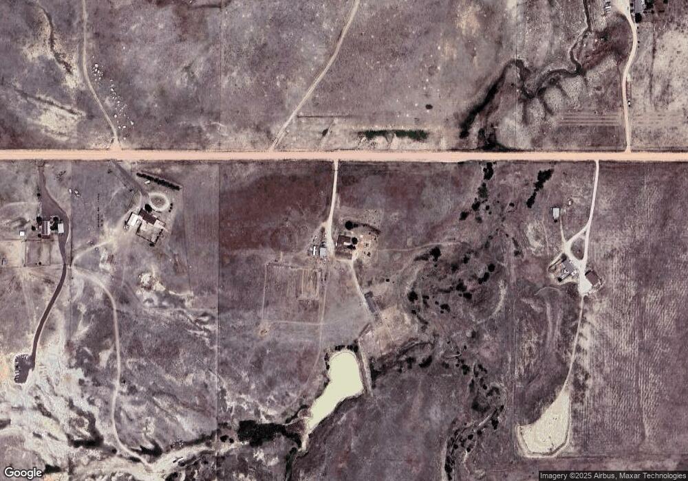
Map
Nearby Homes
- 11040 N Calhan Hwy
- 1049 Denver St
- 29440 Gardetto View
- Floresta Plan at Mayberry Village
- Woodlyn Plan at Mayberry Village
- Roseland Plan at Mayberry Village
- Aster Plan at Mayberry Village
- Havenwood Plan at Mayberry Village
- Beacon Plan at Mayberry Village
- Terramar Plan at Mayberry Village
- Bristol Plan at Mayberry Village
- 401 Cheyenne St
- 0000 Judge Orr Rd
- 495 Golden St
- 344 3rd St
- 12275 N Calhan Hwy
- 1120 Monument St
- 1075 8th St
- 15530 Kanuch Rd
- 28510 Washington Rd
- 29175 Paint Mine Rd
- 29675 Paint Mine Rd
- 29045 Paint Mine Rd
- 29250 Paint Mine Rd
- 29550 Paint Mine Rd
- 00 Murr Rd
- 13445 Paint Mine Rd
- 290400 Paint Mine Rd
- 29040 Paint Mine Rd
- 13135 N Calhan Hwy
- 29025 Paint Mine Rd
- 13055 N Calhan Hwy Unit A & B
- 13055 N Calhan Hwy
- 13215 N Calhan Hwy
- 12975 N Calhan Hwy
- 12975 N Calhan Hwy Unit A
- T12R62S23 N Calhan Hwy
- 10630 N Calhan Hwy
- 5654 N Calhan Hwy
- 28995 E Us Highway 24