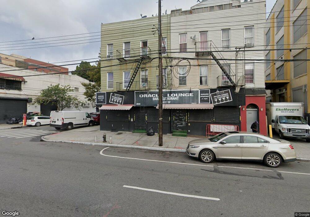
2935 Atlantic Ave Brooklyn, NY 11207
Cypress Hills NeighborhoodEstimated Value: $975,006
Studio
--
Bath
4,575
Sq Ft
$213/Sq Ft
Est. Value
About This Home
This home is located at 2935 Atlantic Ave, Brooklyn, NY 11207 and is currently estimated at $975,006, approximately $213 per square foot. 2935 Atlantic Ave is a home located in Kings County with nearby schools including P.S. 108 - Sal Abbracciamento, Liberty Avenue Middle School, and Vista Academy.
Ownership History
Date
Name
Owned For
Owner Type
Purchase Details
Closed on
Nov 2, 2010
Sold by
Rr Reo Ii Llc
Bought by
Ez Grow Llc
Current Estimated Value
Home Financials for this Owner
Home Financials are based on the most recent Mortgage that was taken out on this home.
Original Mortgage
$250,000
Interest Rate
4.88%
Mortgage Type
Commercial
Purchase Details
Closed on
Dec 10, 2009
Sold by
Gelb James I
Bought by
Rr Reo Ii Llc Subsidiary Of Rossrock Fun
Purchase Details
Closed on
Dec 15, 1999
Sold by
Ranier Ellen Marie
Bought by
Peralta Realty Corp
Home Financials for this Owner
Home Financials are based on the most recent Mortgage that was taken out on this home.
Original Mortgage
$213,500
Interest Rate
7.84%
Mortgage Type
Commercial
Create a Home Valuation Report for This Property
The Home Valuation Report is an in-depth analysis detailing your home's value as well as a comparison with similar homes in the area
Home Values in the Area
Average Home Value in this Area
Purchase History
| Date | Buyer | Sale Price | Title Company |
|---|---|---|---|
| Ez Grow Llc | $499,999 | -- | |
| Rr Reo Ii Llc Subsidiary Of Rossrock Fun | $310,000 | -- | |
| Peralta Realty Corp | $230,000 | The Judicial Title Ins Agenc |
Source: Public Records
Mortgage History
| Date | Status | Borrower | Loan Amount |
|---|---|---|---|
| Previous Owner | Ez Grow Llc | $250,000 | |
| Previous Owner | Peralta Realty Corp | $213,500 |
Source: Public Records
Tax History
| Year | Tax Paid | Tax Assessment Tax Assessment Total Assessment is a certain percentage of the fair market value that is determined by local assessors to be the total taxable value of land and additions on the property. | Land | Improvement |
|---|---|---|---|---|
| 2025 | $6,628 | $242,100 | $139,500 | $102,600 |
| 2024 | $6,628 | $302,400 | $139,500 | $162,900 |
| 2023 | $6,503 | $280,800 | $139,500 | $141,300 |
| 2022 | $6,006 | $234,000 | $139,500 | $94,500 |
| 2021 | $5,576 | $187,200 | $139,500 | $47,700 |
| 2020 | $2,595 | $227,700 | $139,500 | $88,200 |
| 2019 | $4,950 | $227,700 | $139,500 | $88,200 |
| 2018 | $5,187 | $40,779 | $19,971 | $20,808 |
| 2017 | $4,803 | $37,761 | $19,740 | $18,021 |
| 2016 | $4,508 | $34,964 | $21,253 | $13,711 |
| 2015 | $2,926 | $33,096 | $24,141 | $8,955 |
| 2014 | $2,926 | $31,369 | $27,470 | $3,899 |
Source: Public Records
Map
Nearby Homes
- 206 Elton St
- 253 Ashford St
- 221 Barbey St
- 168 Warwick St
- 126 Jerome St
- 599 Liberty Ave
- 597 Liberty Ave
- 171 Arlington Ave
- 203 Essex St
- 296 Arlington Ave
- 87 Schenck Ave
- 295 Ashford St
- 88 Elton St
- 2830 Fulton St
- 196 Shepherd Ave
- 400 Linwood St
- 147 Essex St
- 399 Linwood St
- 219 Shepherd Ave
- 202 Schenck Ave
- 2937 Atlantic Ave
- 2939 Atlantic Ave Unit 3R
- 191 Ashford St
- 2929 Atlantic Ave
- 2941 Atlantic Ave
- 189 Ashford St
- 194 Ashford St
- 187 Ashford St
- 192 Ashford St
- 185 Ashford St
- 188 Ashford St
- 2923 Atlantic Ave
- 183 Ashford St
- 183 Ashford St
- 280 Cleveland St
- 186 Ashford St
- 179 Ashford St
- 274 Cleveland St
- 2940 Atlantic Ave
- 182 Ashford St
Your Personal Tour Guide
Ask me questions while you tour the home.