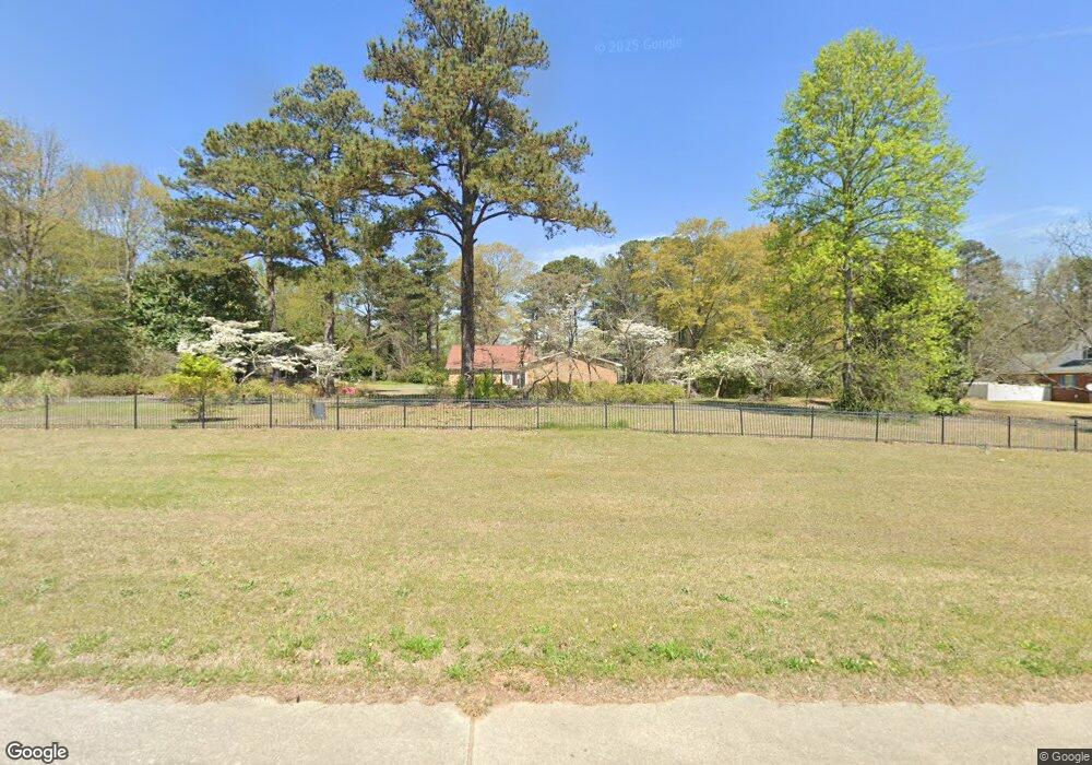
2935 Highway 138 E Jonesboro, GA 30236
Estimated Value: $294,000 - $343,000
3
Beds
3
Baths
2,271
Sq Ft
$141/Sq Ft
Est. Value
About This Home
This home is located at 2935 Highway 138 E, Jonesboro, GA 30236 and is currently estimated at $319,399, approximately $140 per square foot. 2935 Highway 138 E is a home located in Clayton County with nearby schools including James Jackson Elementary School, M. D. Roberts Middle School, and Mount Zion High School.
Ownership History
Date
Name
Owned For
Owner Type
Purchase Details
Closed on
May 13, 2025
Sold by
Ferguson Earl Monroe
Bought by
Rockhill Emily
Current Estimated Value
Home Financials for this Owner
Home Financials are based on the most recent Mortgage that was taken out on this home.
Original Mortgage
$300,000
Outstanding Balance
$295,791
Interest Rate
6.83%
Mortgage Type
New Conventional
Estimated Equity
$23,608
Purchase Details
Closed on
Nov 8, 2005
Sold by
Ferguson Florence
Bought by
Ferguson Earl M and Ferguson Florence
Home Financials for this Owner
Home Financials are based on the most recent Mortgage that was taken out on this home.
Original Mortgage
$175,000
Interest Rate
5.9%
Mortgage Type
New Conventional
Purchase Details
Closed on
Jul 13, 1999
Sold by
Ferguson Florence
Bought by
Ferguson Pam
Create a Home Valuation Report for This Property
The Home Valuation Report is an in-depth analysis detailing your home's value as well as a comparison with similar homes in the area
Home Values in the Area
Average Home Value in this Area
Purchase History
| Date | Buyer | Sale Price | Title Company |
|---|---|---|---|
| Rockhill Emily | $300,000 | -- | |
| Ferguson Earl M | -- | -- | |
| Ferguson Pam | $23,500 | -- |
Source: Public Records
Mortgage History
| Date | Status | Borrower | Loan Amount |
|---|---|---|---|
| Open | Rockhill Emily | $300,000 | |
| Previous Owner | Ferguson Earl Monroe | $90,000 | |
| Previous Owner | Ferguson Earl M | $175,000 | |
| Previous Owner | Ferguson Florence | $100,000 | |
| Previous Owner | Ferguson Florence | $180,000 | |
| Previous Owner | Ferguson Monroe- | $203,637 |
Source: Public Records
Tax History Compared to Growth
Tax History
| Year | Tax Paid | Tax Assessment Tax Assessment Total Assessment is a certain percentage of the fair market value that is determined by local assessors to be the total taxable value of land and additions on the property. | Land | Improvement |
|---|---|---|---|---|
| 2024 | $2,142 | $120,360 | $19,640 | $100,720 |
| 2023 | $3,810 | $105,520 | $19,640 | $85,880 |
| 2022 | $1,443 | $84,960 | $19,640 | $65,320 |
| 2021 | $1,159 | $69,440 | $19,640 | $49,800 |
| 2020 | $1,201 | $70,062 | $22,025 | $48,037 |
| 2019 | $1,182 | $67,394 | $22,025 | $45,369 |
| 2018 | $1,058 | $61,363 | $22,025 | $39,338 |
| 2017 | $1,011 | $56,803 | $22,025 | $34,778 |
| 2016 | $1,022 | $57,326 | $22,025 | $35,301 |
| 2015 | $998 | $0 | $0 | $0 |
| 2014 | $930 | $56,829 | $22,025 | $34,804 |
Source: Public Records
Map
Nearby Homes
- 7719 Glen Devon Rd
- 2846 Highway 138 E
- 2884 Kevin Ln Unit 2
- 2809 Highway 138 E
- 733 Berkeley Dr
- 732 Berkeley Dr
- 717 Berkeley Dr
- 706 Berkeley Dr
- 708 Berkeley Dr
- 725 Berkeley Dr
- 710 Berkeley Dr
- 745 Berkeley Dr
- 722 Berkeley Dr
- 718 Berkeley Dr
- 719 Berkeley Dr
- 712 Berkeley Dr
- 734 Berkeley Dr
- 702 Berkeley Dr
- 2919 Cushing Ct Unit 2
- 269 Epping St Unit 81
- 2921 Highway 138 E
- 7759 Ciboney Dr
- 7771 Ciboney Dr
- 7747 Ciboney Dr
- 7724 Tyra Cove
- 0 Lake Spivey Pkwy Unit 8438794
- 23002506 Lake Spivey Pkwy
- 7776 Morant Dr
- 7718 Tyra Cove
- 7735 Ciboney Dr Unit III
- 7752 Morant Dr
- 7721 Tyra Cove Unit 1
- 7764 Morant Dr
- 7740 Morant Dr Unit I
- 2952 Georgia 138
- 7715 Ciboney Dr
- 2952 Highway 138 E
- 7715 Tyra Cove
- 7728 Morant Dr
- 7760 Ciboney Dr Unit 2