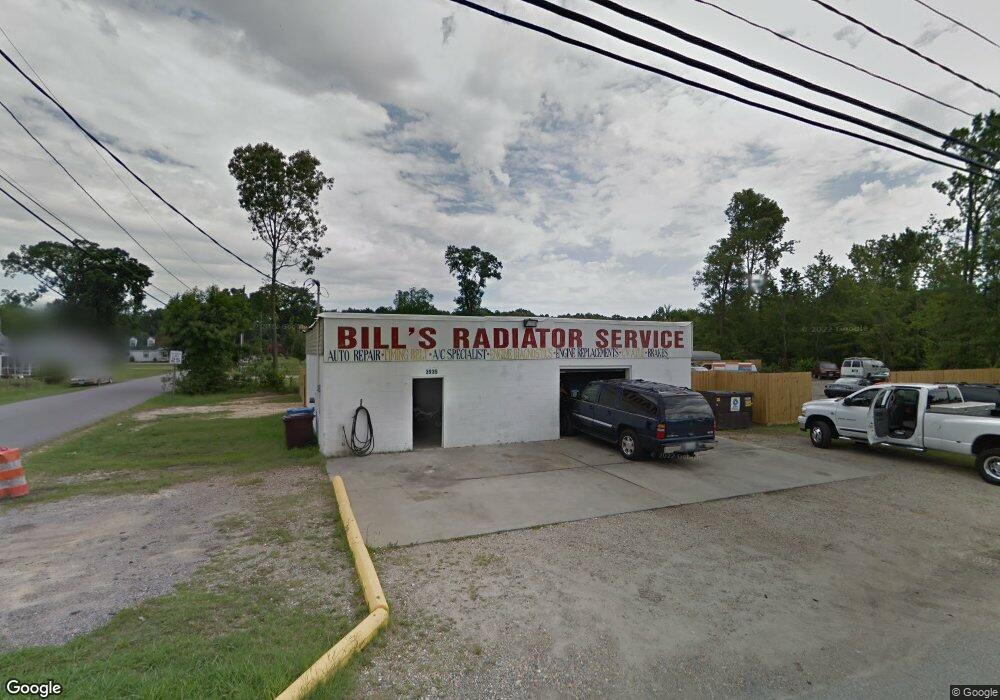
2935 S Military Hwy Chesapeake, VA 23323
Deep Creek NeighborhoodEstimated Value: $260,347
--
Bed
--
Bath
1,600
Sq Ft
$163/Sq Ft
Est. Value
About This Home
This home is located at 2935 S Military Hwy, Chesapeake, VA 23323 and is currently estimated at $260,347, approximately $162 per square foot. 2935 S Military Hwy is a home located in Chesapeake City with nearby schools including G.A. Treakle Elementary School, Deep Creek Middle School, and Deep Creek High.
Ownership History
Date
Name
Owned For
Owner Type
Purchase Details
Closed on
May 1, 2015
Sold by
Williams Roger L
Bought by
Staton Forrest H
Current Estimated Value
Purchase Details
Closed on
Aug 7, 2006
Sold by
Johnson Mary R
Bought by
Williams Roger L
Home Financials for this Owner
Home Financials are based on the most recent Mortgage that was taken out on this home.
Original Mortgage
$130,000
Interest Rate
7%
Mortgage Type
Commercial
Create a Home Valuation Report for This Property
The Home Valuation Report is an in-depth analysis detailing your home's value as well as a comparison with similar homes in the area
Home Values in the Area
Average Home Value in this Area
Purchase History
| Date | Buyer | Sale Price | Title Company |
|---|---|---|---|
| Staton Forrest H | $150,000 | -- | |
| Williams Roger L | $150,000 | -- |
Source: Public Records
Mortgage History
| Date | Status | Borrower | Loan Amount |
|---|---|---|---|
| Previous Owner | Williams Roger L | $130,000 |
Source: Public Records
Tax History Compared to Growth
Tax History
| Year | Tax Paid | Tax Assessment Tax Assessment Total Assessment is a certain percentage of the fair market value that is determined by local assessors to be the total taxable value of land and additions on the property. | Land | Improvement |
|---|---|---|---|---|
| 2025 | $1,959 | $212,700 | $179,800 | $32,900 |
| 2024 | $1,959 | $194,000 | $161,400 | $32,600 |
| 2023 | $2,210 | $214,400 | $161,400 | $53,000 |
| 2022 | $2,223 | $220,100 | $161,400 | $58,700 |
| 2021 | $2,230 | $212,400 | $161,400 | $51,000 |
| 2020 | $2,254 | $214,700 | $161,400 | $53,300 |
| 2019 | $2,244 | $213,700 | $161,400 | $52,300 |
| 2018 | $1,921 | $159,300 | $105,000 | $54,300 |
| 2017 | $1,996 | $190,100 | $138,300 | $51,800 |
| 2016 | $1,699 | $161,800 | $110,000 | $51,800 |
| 2015 | $1,725 | $164,300 | $110,000 | $54,300 |
| 2014 | $1,725 | $164,300 | $110,000 | $54,300 |
Source: Public Records
Map
Nearby Homes
- 1525 Shell Rd
- 928 Michael Dr
- 1435 Winslow Ave
- 1444 Culpepper Ave
- 2036 Maywood St
- 1400 Winslow Ave
- 1463 Rivers Edge Trace
- 2249 Tennessee Dr
- 1317 Richwood Ave
- 309 Paperbark Trail
- 2404 Livesay Rd
- 1241 N River Dr
- 1220 Boxwood Dr
- 1308 Boxwood Dr
- 1113 White Pine Dr
- Swan Plan at Shell Place
- Sandpiper Plan at Shell Place
- Pelican Plan at Shell Place
- Gannett Plan at Shell Place
- 1807 Whelp Way
- 905 State St
- 909 State St
- 2939 S Military Hwy
- 913 State St
- 2928 S Military Hwy
- 908 State St
- 817 State St
- 915 State St
- 2943 S Military Hwy
- 912 State St
- 2921 S Military Hwy
- 2938 S Military Hwy
- 917 State St
- 2945 S Military Hwy
- 814 State St
- 2009 Chapel Ave
- 813 State St
- 919 State St
- 2011 Chapel Ave
- 2940 S Military Hwy