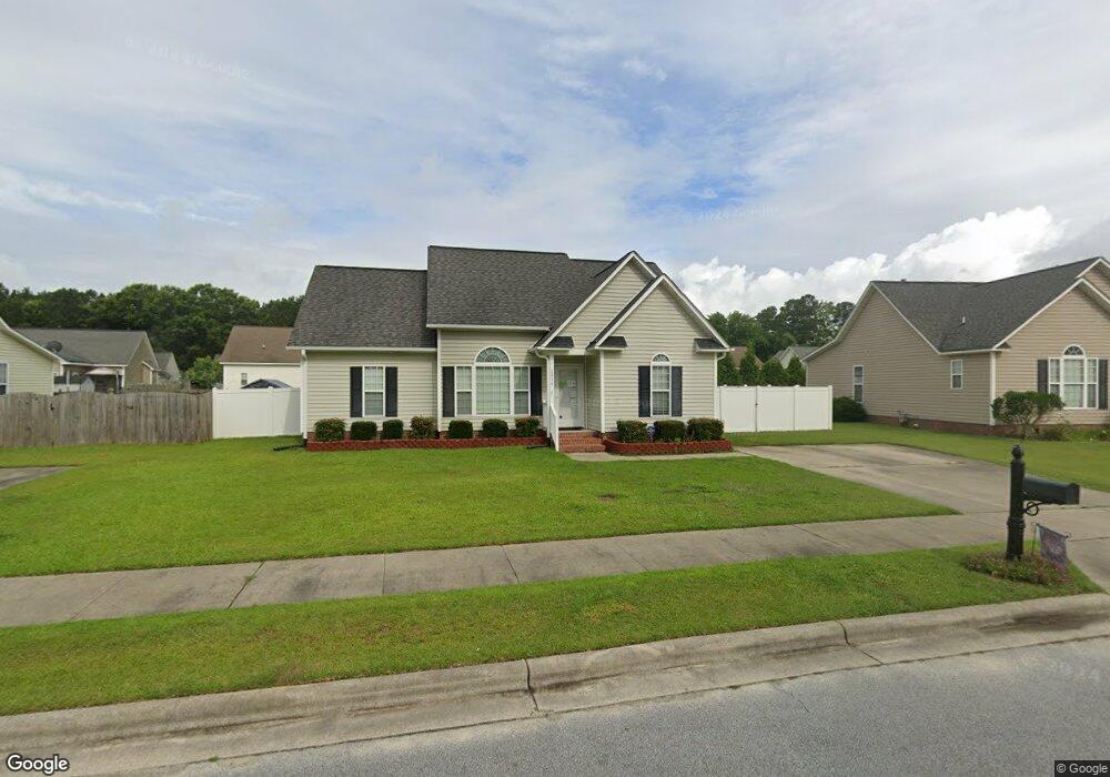
2936 Laylah Dr Winterville, NC 28590
Estimated Value: $223,000 - $244,973
3
Beds
2
Baths
1,300
Sq Ft
$181/Sq Ft
Est. Value
About This Home
This home is located at 2936 Laylah Dr, Winterville, NC 28590 and is currently estimated at $235,743, approximately $181 per square foot. 2936 Laylah Dr is a home located in Pitt County with nearby schools including Creekside Elementary School, A.G. Cox Middle School, and South Central High School.
Ownership History
Date
Name
Owned For
Owner Type
Purchase Details
Closed on
Jun 12, 2008
Sold by
Edmonson Construction Company Of Greenvi
Bought by
Foushee Eric Rashad and Mason Constance S
Current Estimated Value
Home Financials for this Owner
Home Financials are based on the most recent Mortgage that was taken out on this home.
Original Mortgage
$128,385
Interest Rate
6.02%
Mortgage Type
Purchase Money Mortgage
Create a Home Valuation Report for This Property
The Home Valuation Report is an in-depth analysis detailing your home's value as well as a comparison with similar homes in the area
Home Values in the Area
Average Home Value in this Area
Purchase History
| Date | Buyer | Sale Price | Title Company |
|---|---|---|---|
| Foushee Eric Rashad | $131,000 | None Available |
Source: Public Records
Mortgage History
| Date | Status | Borrower | Loan Amount |
|---|---|---|---|
| Previous Owner | Foushee Eric Rashad | $128,385 |
Source: Public Records
Tax History Compared to Growth
Tax History
| Year | Tax Paid | Tax Assessment Tax Assessment Total Assessment is a certain percentage of the fair market value that is determined by local assessors to be the total taxable value of land and additions on the property. | Land | Improvement |
|---|---|---|---|---|
| 2025 | $2,302 | $224,375 | $35,000 | $189,375 |
| 2024 | $2,290 | $224,375 | $35,000 | $189,375 |
| 2023 | $1,734 | $139,069 | $20,000 | $119,069 |
| 2022 | $1,752 | $139,069 | $20,000 | $119,069 |
| 2021 | $1,734 | $139,069 | $20,000 | $119,069 |
| 2020 | $1,747 | $139,069 | $20,000 | $119,069 |
| 2019 | $1,719 | $131,468 | $20,000 | $111,468 |
| 2018 | $1,670 | $131,468 | $20,000 | $111,468 |
| 2017 | $1,670 | $131,468 | $20,000 | $111,468 |
| 2016 | $1,657 | $131,468 | $20,000 | $111,468 |
| 2015 | $1,638 | $132,529 | $31,000 | $101,529 |
| 2014 | $1,638 | $130,577 | $31,000 | $99,577 |
Source: Public Records
Map
Nearby Homes
- 1013 Bristolmoor Dr
- 1217 Hunley Ct
- 1229 Ashmoor Ln
- 1205 Hunley Ct
- 1208 Hunley Ct
- 913 Dearborn Ct
- 1113 Sebring Dr
- 1124 Sebring Dr
- 3629 Corinth Dr
- 1104 Bert Ct
- 1129 Bryson Dr
- 894 Sutters Place Dr
- 1008 Penncross Dr
- 2313 Saddleback Dr Unit B
- 2375 Vineyard Dr Unit H6
- 676 Gatewood Dr
- 2104 Rhinestone Dr
- 2201 Rhinestone Dr
- 2100 Rhinestone Dr
- 2101 Rhinestone Dr
- 2940 Laylah Dr
- 2932 Laylah Dr
- 1233 Bristolmoor Dr
- 1237 Bristolmoor Dr
- 2928 Laylah Dr
- 1229 Bristolmoor Dr
- 1241 Bristolmoor Dr
- 2937 Laylah Dr
- 2933 Laylah Dr
- 2948 Laylah Dr
- 2941 Laylah Dr
- 1225 Bristolmoor Dr
- 2929 Laylah Dr
- 2924 Laylah Dr
- 1245 Bristolmoor Dr
- 2945 Laylah Dr
- 2925 Laylah Dr
- 1236 Bristolmoor Dr
- 1221 Bristolmoor Dr
- 2920 Laylah Dr