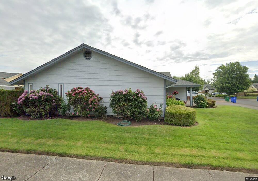
2937 Brett Loop Eugene, OR 97404
Santa Clara NeighborhoodEstimated Value: $469,000 - $519,000
3
Beds
2
Baths
1,768
Sq Ft
$281/Sq Ft
Est. Value
About This Home
This home is located at 2937 Brett Loop, Eugene, OR 97404 and is currently estimated at $496,272, approximately $280 per square foot. 2937 Brett Loop is a home located in Lane County with nearby schools including Spring Creek Elementary School, Madison Middle School, and North Eugene High School.
Ownership History
Date
Name
Owned For
Owner Type
Purchase Details
Closed on
Mar 19, 2008
Sold by
Eastburn Dennis J and Eastburn Debraj
Bought by
Bressler Marvin A and Bressler Bjorg I
Current Estimated Value
Home Financials for this Owner
Home Financials are based on the most recent Mortgage that was taken out on this home.
Original Mortgage
$220,000
Outstanding Balance
$133,865
Interest Rate
5.65%
Mortgage Type
Purchase Money Mortgage
Estimated Equity
$362,407
Create a Home Valuation Report for This Property
The Home Valuation Report is an in-depth analysis detailing your home's value as well as a comparison with similar homes in the area
Home Values in the Area
Average Home Value in this Area
Purchase History
| Date | Buyer | Sale Price | Title Company |
|---|---|---|---|
| Bressler Marvin A | $275,000 | Fidelity Natl Title Co Of Or |
Source: Public Records
Mortgage History
| Date | Status | Borrower | Loan Amount |
|---|---|---|---|
| Open | Bressler Marvin A | $220,000 |
Source: Public Records
Tax History
| Year | Tax Paid | Tax Assessment Tax Assessment Total Assessment is a certain percentage of the fair market value that is determined by local assessors to be the total taxable value of land and additions on the property. | Land | Improvement |
|---|---|---|---|---|
| 2025 | $5,496 | $282,074 | -- | -- |
| 2024 | $5,428 | $273,859 | -- | -- |
| 2023 | $5,428 | $265,883 | $0 | $0 |
| 2022 | $5,085 | $258,139 | $0 | $0 |
| 2021 | $4,776 | $250,621 | $0 | $0 |
| 2020 | $4,719 | $243,322 | $0 | $0 |
| 2019 | $4,533 | $236,235 | $0 | $0 |
| 2018 | $4,236 | $222,675 | $0 | $0 |
| 2017 | $3,938 | $222,675 | $0 | $0 |
| 2016 | $3,750 | $216,189 | $0 | $0 |
| 2015 | $3,634 | $209,892 | $0 | $0 |
| 2014 | $3,562 | $203,779 | $0 | $0 |
Source: Public Records
Map
Nearby Homes
- 2721 La Darrah St
- 3256 Marvin Dr
- 349 Irving Rd
- 2563 York St
- 374 Blackfoot Ave
- 2612 Sage St
- 541 Durham Ave
- 51 Grizzly Ave
- 2965 Teal Place
- 333 Lenore Loop
- 303 Lenore Loop
- 215 Jonquil Ave
- 1215 Irving Rd
- 2488 Northampton
- 2931 Shelby Way
- 193 Santa Clara Ave
- 1256 Frogs Leap Ln
- 190 River Loop 1
- 1265 Napa Creek Dr
- 2439 Quince St
- 2933 Brett Loop
- 2969 Brett Loop
- 2975 Brett Loop
- 2962 Brett Loop
- 2929 Brett Loop
- 2966 Brett Loop
- 2938 Brett Loop
- 2932 Brett Loop
- 2958 Brett Loop
- 2970 Brett Loop
- 2979 Brett Loop
- 2925 Brett Loop
- 2928 Brett Loop
- 2986 Brett Loop
- 2942 Brett Loop
- 2929 Crocker Rd
- 2924 Brett Loop
- 2999 Brett Loop
- 2983 Brett Loop
- 2957 Crocker Rd
Your Personal Tour Guide
Ask me questions while you tour the home.