2937 Smith Ferry Rd Westlake, LA 70669
Estimated Value: $167,000 - $292,000
3
Beds
2
Baths
2,073
Sq Ft
$104/Sq Ft
Est. Value
About This Home
This home is located at 2937 Smith Ferry Rd, Westlake, LA 70669 and is currently estimated at $215,624, approximately $104 per square foot. 2937 Smith Ferry Rd is a home located in Calcasieu Parish with nearby schools including Westwood Elementary School, Western Heights Elementary School, and S.P. Arnett Middle School.
Ownership History
Date
Name
Owned For
Owner Type
Purchase Details
Closed on
Jul 13, 2009
Sold by
Reeves David Martin and Reeves Christine Marie
Bought by
Ireland Patrick Joseph and Ireland Doris Christine
Current Estimated Value
Home Financials for this Owner
Home Financials are based on the most recent Mortgage that was taken out on this home.
Original Mortgage
$152,625
Outstanding Balance
$100,017
Interest Rate
5.39%
Mortgage Type
FHA
Estimated Equity
$115,607
Create a Home Valuation Report for This Property
The Home Valuation Report is an in-depth analysis detailing your home's value as well as a comparison with similar homes in the area
Home Values in the Area
Average Home Value in this Area
Purchase History
| Date | Buyer | Sale Price | Title Company |
|---|---|---|---|
| Ireland Patrick Joseph | $175,000 | Ironclad Title Llc |
Source: Public Records
Mortgage History
| Date | Status | Borrower | Loan Amount |
|---|---|---|---|
| Open | Ireland Patrick Joseph | $152,625 |
Source: Public Records
Tax History Compared to Growth
Tax History
| Year | Tax Paid | Tax Assessment Tax Assessment Total Assessment is a certain percentage of the fair market value that is determined by local assessors to be the total taxable value of land and additions on the property. | Land | Improvement |
|---|---|---|---|---|
| 2024 | $1,056 | $9,840 | $1,720 | $8,120 |
| 2023 | $1,056 | $9,840 | $1,720 | $8,120 |
| 2022 | $1,081 | $9,840 | $1,720 | $8,120 |
| 2021 | $1,054 | $9,840 | $1,720 | $8,120 |
| 2020 | $978 | $8,960 | $1,650 | $7,310 |
| 2019 | $1,098 | $9,710 | $1,590 | $8,120 |
| 2018 | $231 | $9,710 | $1,590 | $8,120 |
| 2017 | $1,046 | $9,710 | $1,590 | $8,120 |
| 2016 | $1,061 | $9,710 | $1,590 | $8,120 |
| 2015 | $1,061 | $9,710 | $1,590 | $8,120 |
Source: Public Records
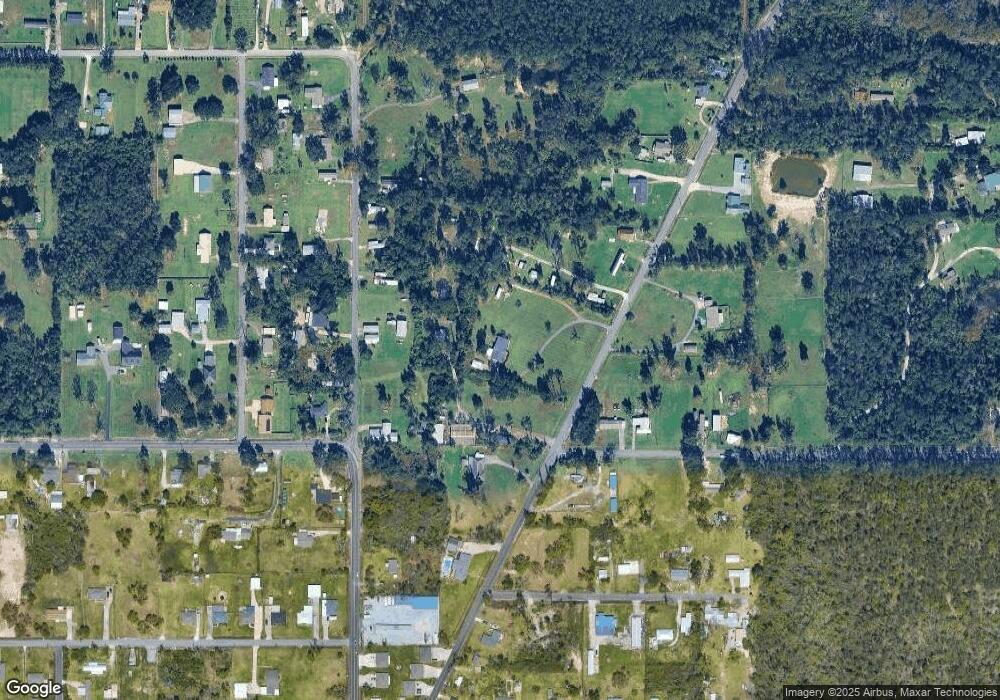
Map
Nearby Homes
- 2725 Smith Ferry Rd
- 1545 S Perkins Ferry Rd
- 0 Fletcher Rd
- 1567 S Perkins Ferry Rd
- 0 Niel Rd Unit SWL23002840
- 369 Ann Terrace Ave
- 0 Charlotte Ave Unit SWL25001918
- 0 W Wayside Dr Unit SWL25001592
- 0 Davis Rd
- 109 W Wayside Dr
- 570 Ann Terrace Ave
- 2502 & 2504 German Rd
- 141 Cureton Rd
- 2525 Davis Rd
- 590 Landry Rd
- 1812 S Perkins Ferry Rd
- 1258 S Perkins Ferry Rd
- 2518 Donnelly Rd
- 320 Mcguire Rd
- 202 Phillips Rd
- 2835 Smith Ferry Rd
- 2939 Smith Ferry Rd
- 2949 Smith Ferry Rd
- 601 Baker Rd
- 2940 Hereford Rd
- 0 Lt 16 Baker Rd
- 2930 Hereford Rd
- 600 Baker Rd
- 2804 Miller Ave
- 3016 Hereford Rd
- 611 Baker Rd
- 2941 Smith Ferry Rd
- 2925 Hereford Rd
- 2925 Hereford Rd
- 2935 Hereford Rd
- 0 Hereford Rd
- 3022 Hereford Rd
- 2806 Hudson Dr
- 2955 Hereford Rd
- 2938 Smith Ferry Rd