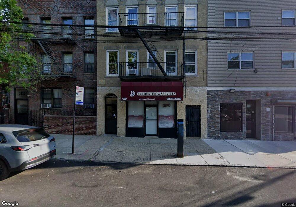
2937 Wilkinson Ave Bronx, NY 10461
Middletown-Pelham Bay Neighborhood
--
Bed
1
Bath
5,103
Sq Ft
2,483
Sq Ft Lot
About This Home
This home is located at 2937 Wilkinson Ave, Bronx, NY 10461. 2937 Wilkinson Ave is a home located in Bronx County with nearby schools including P.S. 71 Rose E Scala, Herbert H Lehman High School, and Icahn Charter School 3.
Ownership History
Date
Name
Owned For
Owner Type
Purchase Details
Closed on
Jan 24, 2008
Sold by
Mancini Ann and Mancini Ann M
Bought by
Rella Mary Ann and Torrioni Michelle
Purchase Details
Closed on
Jan 7, 2008
Sold by
Rella Mary Ann and Torrioni Michelle
Bought by
Mancini Ann M
Purchase Details
Closed on
Nov 21, 2007
Sold by
Mancini Ann M
Bought by
Rella Mary Ann and Torrioni Michelle
Purchase Details
Closed on
Mar 18, 1995
Sold by
Virello Rose and Mancini Ann M
Bought by
Virello Rose and Mancini Ann M
Create a Home Valuation Report for This Property
The Home Valuation Report is an in-depth analysis detailing your home's value as well as a comparison with similar homes in the area
Home Values in the Area
Average Home Value in this Area
Purchase History
| Date | Buyer | Sale Price | Title Company |
|---|---|---|---|
| Rella Mary Ann | -- | -- | |
| Mancini Ann | -- | -- | |
| Rella Mary Ann | -- | -- | |
| Mancini Ann | -- | -- | |
| Mancini Ann M | -- | -- | |
| Mancini Ann M | -- | -- | |
| Rella Mary Ann | -- | -- | |
| Rella Mary Ann | -- | -- | |
| Virello Rose | -- | Commonwealth Land Title Ins | |
| Virello Rose | -- | Commonwealth Land Title Ins |
Source: Public Records
Tax History Compared to Growth
Tax History
| Year | Tax Paid | Tax Assessment Tax Assessment Total Assessment is a certain percentage of the fair market value that is determined by local assessors to be the total taxable value of land and additions on the property. | Land | Improvement |
|---|---|---|---|---|
| 2025 | $21,737 | $179,460 | $4,500 | $174,960 |
| 2024 | $21,737 | $173,870 | $4,620 | $169,250 |
| 2023 | $19,751 | $161,008 | $5,134 | $155,874 |
| 2022 | $18,241 | $382,050 | $11,250 | $370,800 |
| 2021 | $0 | $305,550 | $11,250 | $294,300 |
| 2020 | $17,218 | $335,700 | $11,250 | $324,450 |
| 2019 | $16,868 | $380,880 | $11,250 | $369,630 |
| 2018 | $15,753 | $123,852 | $2,926 | $120,926 |
| 2017 | $14,587 | $114,683 | $3,024 | $111,659 |
| 2016 | $14,785 | $114,683 | $3,334 | $111,349 |
| 2015 | $8,888 | $106,189 | $3,573 | $102,616 |
| 2014 | $8,888 | $102,882 | $3,981 | $98,901 |
Source: Public Records
Map
Nearby Homes
- 2010 Hobart Ave
- 2024 Continental Ave
- 2032 Hobart Ave
- 2015 Saint Paul Ave Unit 6B
- 2015 St Paul Ave Unit 3G
- 2015 Saint Paul Ave Unit 3H
- 2871 E 194th St
- 1959B Edison Ave
- 1950 Pilgrim Ave
- 1932 Pilgrim Ave
- 1874 Pelham Pkwy S Unit 5B
- 1874 Pelham Pkwy S Unit 6E
- 1874 Pelham Pkwy S Unit 6M
- 1874 Pelham Pkwy S Unit 4R
- 1910 Pelham Pkwy S Unit 5C
- 2884 Saint Theresa Ave
- 1815 Mahan Ave
- 1926 Hutchinson River Pkwy E Unit E
- 3036 Buhre Ave
- 1865 Mulford Ave
- 2935 Wilkinson Ave
- 3203 Westchester Ave
- 2939 Wilkinson Ave
- 2933 Wilkinson Ave
- 3205-3207 Westchester Ave
- 2931 Wilkinson Ave
- 3209 Westchester Ave
- 2936 E 194th St
- 2932 E 194th St
- 2940 E 194th St Unit 1
- 2940 E 194th St
- 3211 Westchester Ave
- 3211 Westchester Ave Unit 3
- 2930 E 194th St
- 2930 E 194 St
- 2934-2936 Wilkinson Ave
- 2004 Hobart Ave
- 2002 Hobart Ave
- 2008 Hobart Ave
- 2006 Hobart Ave