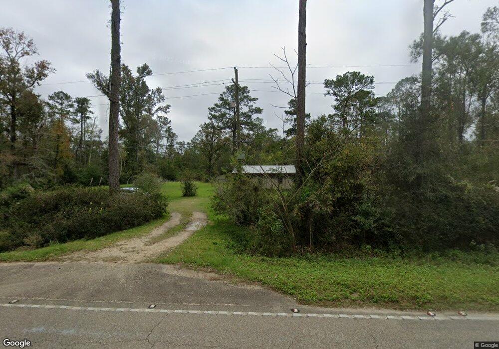
29370 Highway 444 Springfield, LA 70462
Estimated Value: $140,839 - $381,000
Studio
--
Bath
--
Sq Ft
448,232
Sq Ft Lot
About This Home
This home is located at 29370 Highway 444, Springfield, LA 70462 and is currently estimated at $271,460. 29370 Highway 444 is a home located in Livingston Parish with nearby schools including Springfield Elementary School, Springfield Middle School, and Springfield High School.
Ownership History
Date
Name
Owned For
Owner Type
Purchase Details
Closed on
Jul 2, 2013
Sold by
Falgout Danny Ray Joseph and Falgout Delanda Sue Nettles
Bought by
Falgout Cordray Trenton Eugene and Falgout Cordray Tanya
Current Estimated Value
Home Financials for this Owner
Home Financials are based on the most recent Mortgage that was taken out on this home.
Original Mortgage
$60,000
Outstanding Balance
$29,212
Interest Rate
3.94%
Mortgage Type
New Conventional
Estimated Equity
$242,248
Create a Home Valuation Report for This Property
The Home Valuation Report is an in-depth analysis detailing your home's value as well as a comparison with similar homes in the area
Home Values in the Area
Average Home Value in this Area
Purchase History
| Date | Buyer | Sale Price | Title Company |
|---|---|---|---|
| Falgout Cordray Trenton Eugene | $75,000 | Gulf Coast Title Inc |
Source: Public Records
Mortgage History
| Date | Status | Borrower | Loan Amount |
|---|---|---|---|
| Open | Falgout Cordray Trenton Eugene | $60,000 |
Source: Public Records
Tax History
| Year | Tax Paid | Tax Assessment Tax Assessment Total Assessment is a certain percentage of the fair market value that is determined by local assessors to be the total taxable value of land and additions on the property. | Land | Improvement |
|---|---|---|---|---|
| 2024 | $550 | $6,321 | $2,014 | $4,307 |
| 2023 | $437 | $5,070 | $1,960 | $3,110 |
| 2022 | $481 | $5,070 | $1,960 | $3,110 |
| 2021 | $482 | $5,070 | $1,960 | $3,110 |
| 2020 | $480 | $5,070 | $1,960 | $3,110 |
| 2019 | $485 | $5,060 | $1,420 | $3,640 |
| 2018 | $485 | $5,060 | $1,420 | $3,640 |
| 2017 | $482 | $5,060 | $1,420 | $3,640 |
| 2015 | $409 | $4,650 | $1,410 | $3,240 |
| 2014 | $415 | $4,650 | $1,410 | $3,240 |
Source: Public Records
Map
Nearby Homes
- 0 Perrin Ferry Rd Unit 2440838
- lot 4,6,7 Claiborne St
- 20224 Riverside Rd
- 26400 Ponchatoula Dr
- 31029 Louisiana 22
- 00 Riverside Rd
- 0 Riverside Rd Unit 11288106
- 0 Riverside Rd Unit 24086503
- 0 Riverside Rd Unit 11342383
- Lot 4 Patricia St
- 000 Perrin Ferry Rd
- 20272 Lynda Dr
- Lot 7 Lynda Ln
- Lot 11 Lynda Ln
- 18943 Austin St
- 20359 Lynda Dr
- 20216 Ratcliff Blvd
- 31427 Judith Dr
- 20442 Johnson Dr
- 20775 Henry Rd
- 0 Perrin Ferry Rd Unit 201212021
- 0 Perrin Ferry Rd Unit 2017006123
- 29266 Highway 444
- 29295 Highway 444
- 29295 Highway 444
- 29409 Highway 444
- 29425 Louisiana 444
- 29425 Highway 444
- 29295 Louisiana 444
- Lot 7 La Hwy 444
- Lot 4 La Hwy 444
- 29762 Highway 444
- 29325 Highway 444
- 29181 Highway 444
- 29541 Highway 444
- 24344 Louisiana 444
- 19898 Bill McKinney Ln
- 29621 Highway 444
- 20161 Perrin Ferry Rd
- 20012 Perrin Ferry Rd
Your Personal Tour Guide
Ask me questions while you tour the home.