2938 Christie Dr West Branch, MI 48661
Estimated Value: $97,000 - $372,000
--
Bed
--
Bath
--
Sq Ft
0.53
Acres
About This Home
This home is located at 2938 Christie Dr, West Branch, MI 48661 and is currently estimated at $176,162. 2938 Christie Dr is a home located in Ogemaw County with nearby schools including Surline Elementary School, Surline Middle School, and Ogemaw Heights High School.
Ownership History
Date
Name
Owned For
Owner Type
Purchase Details
Closed on
Jul 1, 2022
Sold by
Tuttle Wendy
Bought by
Nicholas Grezeszak David
Current Estimated Value
Purchase Details
Closed on
Aug 19, 2014
Sold by
John A John A and Pudney Bernice M
Bought by
Tuttle Wendy
Purchase Details
Closed on
Sep 18, 2006
Sold by
Ross Shannon M
Bought by
Pudney John A and Pudney Bernice M
Home Financials for this Owner
Home Financials are based on the most recent Mortgage that was taken out on this home.
Original Mortgage
$66,405
Interest Rate
6.58%
Create a Home Valuation Report for This Property
The Home Valuation Report is an in-depth analysis detailing your home's value as well as a comparison with similar homes in the area
Home Values in the Area
Average Home Value in this Area
Purchase History
| Date | Buyer | Sale Price | Title Company |
|---|---|---|---|
| Nicholas Grezeszak David | $40,000 | -- | |
| Tuttle Wendy | $25,000 | Ogemaw County Abstract | |
| Pudney John A | $69,900 | -- |
Source: Public Records
Mortgage History
| Date | Status | Borrower | Loan Amount |
|---|---|---|---|
| Previous Owner | Pudney John A | $66,405 |
Source: Public Records
Tax History Compared to Growth
Tax History
| Year | Tax Paid | Tax Assessment Tax Assessment Total Assessment is a certain percentage of the fair market value that is determined by local assessors to be the total taxable value of land and additions on the property. | Land | Improvement |
|---|---|---|---|---|
| 2025 | $837 | $45,800 | $0 | $0 |
| 2024 | $4 | $44,800 | $0 | $0 |
| 2023 | $407 | $39,700 | $0 | $0 |
| 2022 | $791 | $35,100 | $0 | $0 |
| 2021 | $730 | $33,400 | $0 | $0 |
| 2020 | $753 | $30,900 | $0 | $0 |
| 2019 | $665 | $29,700 | $0 | $0 |
| 2018 | $658 | $29,400 | $0 | $0 |
| 2017 | $583 | $29,000 | $0 | $0 |
| 2016 | $1,078 | $27,900 | $0 | $0 |
| 2015 | $1,075 | $27,500 | $0 | $0 |
| 2014 | $101 | $25,700 | $0 | $0 |
Source: Public Records
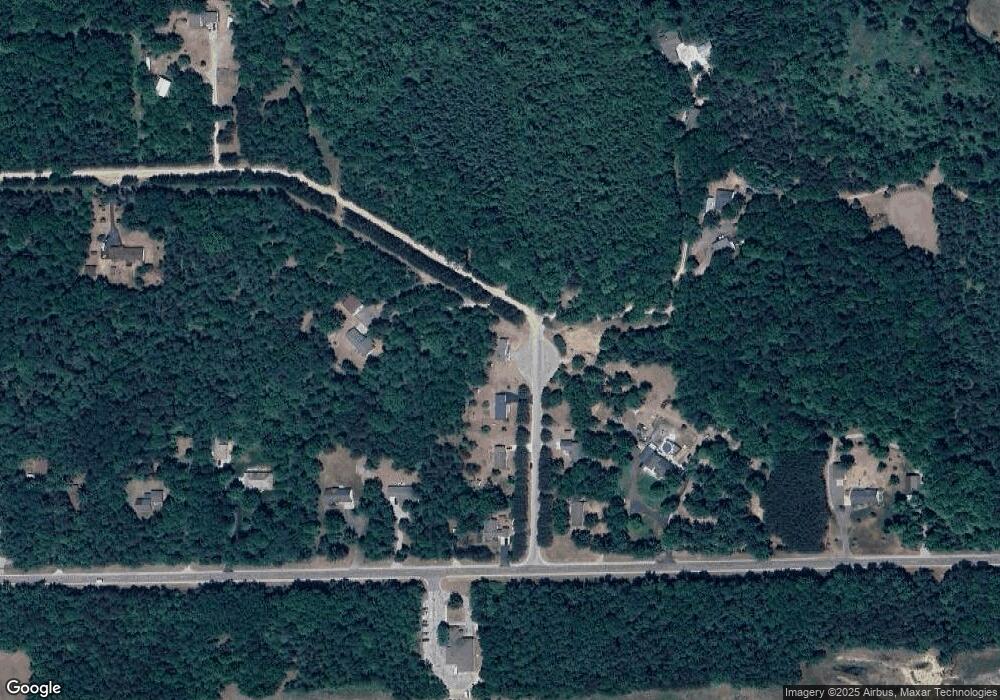
Map
Nearby Homes
- 2388 Dam Rd
- 0 Arthur Ct Unit 1926554
- 0 Arthur Ct Unit 1926537
- 0 Arthur Ct Unit 1926536
- 0 Arthur Ct Unit 1926540
- 0 Arthur Ct Unit 1926549
- 0 Arthur Ct Unit 1926541
- 0 Arthur Ct Unit 17 1926507
- 0 Arthur Ct Unit 1926545
- 0 Crawford St Unit 2 1926452
- 0 Crawford St Unit 1926558
- 0 Crawford St Unit 1926483
- 0 Crawford St Unit 29 1926560
- 0 Crawford St Unit 1
- 0 Jonathan Ct Unit 11 1926460
- 0 Jonathan Ct Unit 12 1926461
- 0 Jonathan Ct Unit 1926470
- 0 Jonathan Ct Unit 10 1926458
- 2371 Pilatus Ct
- 2190 Fox Run
- 2965 Christie Dr
- 2943 Christie Dr
- 2942 Christie Dr
- 2944 Christie Dr
- 1368 W Airport Rd
- 1328 W Airport Rd
- 1399 Jill Lyne Ln
- 1400 W Airport Rd
- 1420 W Airport Rd
- 1400 Joy Bell Ln
- 1464 W Airport Rd
- 1420 Joy Bell Ln
- 1520 W Airport Rd
- 1471 Jill Lyne Ln
- 1482 Jill Lyne Ln
- 1300 W Airport Rd
- 1448 Jill Lyne Ln
- 1570 Jill Lyne Ln
- 1570 Jill Lyne Ln
- 1519 Jill Lyne Ln