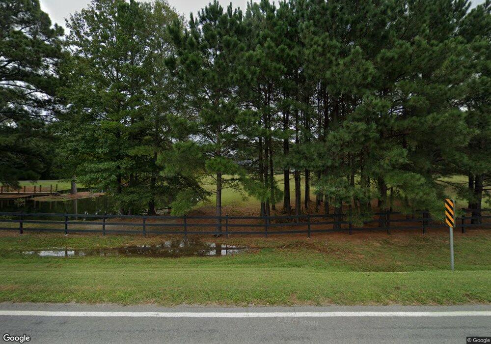
2938 Highway 290 Hot Springs National Park, AR 71913
Estimated Value: $587,000 - $983,211
2
Beds
4
Baths
4,129
Sq Ft
$178/Sq Ft
Est. Value
About This Home
This home is located at 2938 Highway 290, Hot Springs National Park, AR 71913 and is currently estimated at $733,404, approximately $177 per square foot. 2938 Highway 290 is a home located in Garland County with nearby schools including Lakeside Primary School, Lakeside Intermediate School, and Lakeside Junior High School.
Ownership History
Date
Name
Owned For
Owner Type
Purchase Details
Closed on
Jan 5, 2017
Sold by
Durbin Farms Llc
Bought by
Hayes Doug and Hayes Tiffany
Current Estimated Value
Purchase Details
Closed on
Feb 14, 2014
Sold by
Vickers Jo Ann and Vickers Sam
Bought by
Durbin Farms Llc
Purchase Details
Closed on
May 15, 2007
Sold by
Not Provided
Bought by
Vickers Sam and Vickers Jo Ann
Purchase Details
Closed on
Sep 6, 2005
Sold by
Not Provided
Bought by
Vickers Jo Ann and Vickers Sam D
Purchase Details
Closed on
May 31, 2002
Sold by
Not Provided
Bought by
Vickers Jo Ann and Holcomb Lloyd
Create a Home Valuation Report for This Property
The Home Valuation Report is an in-depth analysis detailing your home's value as well as a comparison with similar homes in the area
Home Values in the Area
Average Home Value in this Area
Purchase History
| Date | Buyer | Sale Price | Title Company |
|---|---|---|---|
| Hayes Doug | $145,000 | Hot Springs Title Company Ll | |
| Durbin Farms Llc | $100,000 | Hot Springs Title Co Inc | |
| Vickers Sam | -- | -- | |
| Vickers Sam | -- | -- | |
| Vickers Jo Ann | -- | -- | |
| Vickers Jo Ann | -- | -- |
Source: Public Records
Tax History Compared to Growth
Tax History
| Year | Tax Paid | Tax Assessment Tax Assessment Total Assessment is a certain percentage of the fair market value that is determined by local assessors to be the total taxable value of land and additions on the property. | Land | Improvement |
|---|---|---|---|---|
| 2025 | $4,690 | $143,810 | $16,670 | $127,140 |
| 2024 | $4,502 | $143,810 | $16,670 | $127,140 |
| 2023 | $4,360 | $143,810 | $16,670 | $127,140 |
| 2022 | $4,751 | $143,810 | $16,670 | $127,140 |
| 2021 | $4,561 | $96,880 | $14,290 | $82,590 |
| 2020 | $4,186 | $96,880 | $14,290 | $82,590 |
| 2019 | $4,014 | $96,880 | $14,290 | $82,590 |
| 2018 | $783 | $14,290 | $14,290 | $0 |
| 2017 | $590 | $14,290 | $14,290 | $0 |
| 2016 | $1,158 | $19,460 | $14,890 | $4,570 |
| 2015 | $804 | $19,460 | $14,890 | $4,570 |
| 2014 | $803 | $19,460 | $14,890 | $4,570 |
Source: Public Records
Map
Nearby Homes
- 2777 Hwy 290
- 120 Cocanauer Dr
- 2777 Highway 290
- 228 Gardens Gate Cir
- 222 Gardens Gate Cir
- 234 Gardens Gate Cir
- 243 Gardens Gate Cir
- 229 Gardens Gate Cir
- 223 Gardens Gate Cir
- 213 Gardens Gate Cir
- 242 Gardens Gate Cir
- 248 Gardens Gate Cir
- 121 Gardens Gate Dr
- 126 Luek Ln
- 125 Luek Ln
- 135 Cannon Ridge Point
- Lot 1 Cannon Ridge Point
- 222 Glenmere Ct
- 234 Glenmere Ct
- 280 Oak Shores Cir
- 2938 State Highway 290
- 2931 Highway 290
- 3058 State Highway 290
- 2923 State Highway 290
- 0 Hwy 290 Unit 15006286
- 0 Hwy 290 Unit 19034886
- 0 Hwy 290 Unit 18016647
- 0 Hwy 290 Unit 20030418
- 7 acres MOL State Highway 290
- 25 acres MOL State Highway 290
- 6 acres MOL State Highway 290
- 0 Hwy 290 Unit 118078
- 0 Hwy 290 Unit 118072
- 190 Harmony Grove Rd
- 2886 Highway 290
- 2145 Carpenter Dam Rd
- 193 Rockport Ln
- 3202 Hwy 290
- 3202 Highway 290
- 3202 Highway 290
