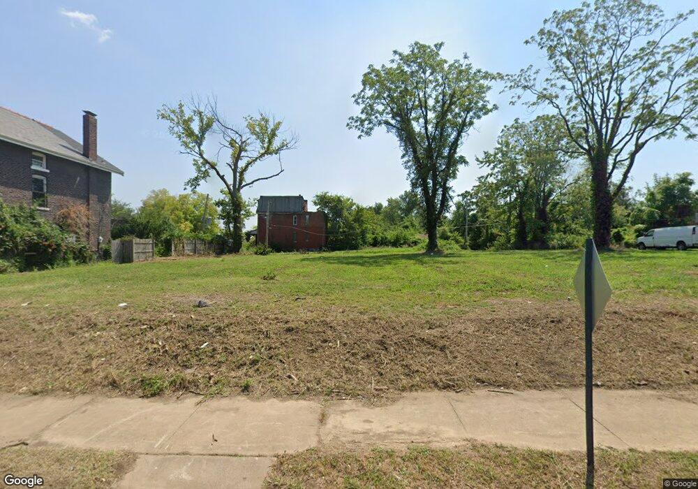
2938 N Euclid Ave Saint Louis, MO 63115
Kingsway NeighborhoodEstimated Value: $85,000 - $124,000
--
Bed
1
Bath
2,052
Sq Ft
$51/Sq Ft
Est. Value
About This Home
This home is located at 2938 N Euclid Ave, Saint Louis, MO 63115 and is currently estimated at $104,500, approximately $50 per square foot. 2938 N Euclid Ave is a home located in St. Louis City with nearby schools including Hickey Elementary School, Sumner High School, and North Side Community Elementary School.
Ownership History
Date
Name
Owned For
Owner Type
Purchase Details
Closed on
Nov 3, 2011
Sold by
City Of St Louis
Bought by
The Land Reutilization Authority Of The
Current Estimated Value
Purchase Details
Closed on
Nov 2, 2007
Sold by
Easley John
Bought by
Allied Property Ventures Lc
Purchase Details
Closed on
Sep 26, 2007
Sold by
Monument Street Funding Llc
Bought by
Ensley John
Purchase Details
Closed on
Dec 28, 1999
Sold by
Gaston Florence
Bought by
Cepher Shaun and Gaston Florence
Create a Home Valuation Report for This Property
The Home Valuation Report is an in-depth analysis detailing your home's value as well as a comparison with similar homes in the area
Home Values in the Area
Average Home Value in this Area
Purchase History
| Date | Buyer | Sale Price | Title Company |
|---|---|---|---|
| The Land Reutilization Authority Of The | -- | None Available | |
| Allied Property Ventures Lc | -- | None Available | |
| Ensley John | -- | Sec | |
| Cepher Shaun | -- | -- |
Source: Public Records
Tax History Compared to Growth
Tax History
| Year | Tax Paid | Tax Assessment Tax Assessment Total Assessment is a certain percentage of the fair market value that is determined by local assessors to be the total taxable value of land and additions on the property. | Land | Improvement |
|---|---|---|---|---|
| 2025 | -- | $460 | $460 | -- |
| 2024 | -- | $460 | $460 | -- |
| 2023 | -- | $460 | $460 | $0 |
| 2022 | -- | $460 | $460 | -- |
| 2021 | $0 | $460 | $460 | $0 |
| 2020 | $0 | $1,750 | $460 | $1,290 |
| 2019 | $0 | $1,750 | $460 | $1,290 |
| 2018 | $0 | $1,680 | $460 | $1,220 |
| 2017 | $0 | $1,670 | $460 | $1,220 |
| 2016 | $0 | $1,670 | $460 | $1,220 |
| 2015 | -- | $1,680 | $460 | $1,220 |
| 2014 | -- | $1,680 | $460 | $1,220 |
| 2013 | -- | $1,640 | $460 | $1,180 |
Source: Public Records
Map
Nearby Homes
- 2834 N Euclid Ave
- 2832 N Euclid Ave
- 4830 Ashland Ave
- 4810 Saint Louis Ave
- 4822 Ashland Ave
- 4950 Labadie Ave
- 4755 Saint Louis Ave
- 4741 Greer Ave
- 4753 Maffitt Ave
- 4845-4847 Northland Ave
- 4860 Northland Ave
- 4721 Northland Ave
- 5049 Saint Louis Ave
- 4669 Elmbank Ave
- 5426 N Euclid Ave
- 5483 N Euclid Ave
- 5429 N Euclid Ave
- 5437 N Euclid Ave
- 4627 Maffitt Ave
- 5151 Terry Ave
- 2942 N Euclid Ave
- 2934 N Euclid Ave
- 2944 N Euclid Ave
- 2928 N Euclid Ave
- 2926 N Euclid Ave
- 4854 Greer Ave
- 2920 N Euclid Ave
- 4852 Greer Ave
- 4848 Greer Ave
- 4859 Labadie Ave
- 4855 Labadie Ave
- 4846 Greer Ave
- 2914 N Euclid Ave
- 4853 Labadie Ave
- 4869 Greer Ave
- 4865 Greer Ave
- 4871 Greer Ave
- 4902 Labadie Ave
- 4863 Greer Ave
- 4875 Greer Ave