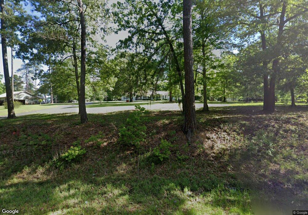
2938 Old Doerun Rd Moultrie, GA 31768
Estimated Value: $203,000 - $241,000
--
Bed
2
Baths
1,639
Sq Ft
$132/Sq Ft
Est. Value
About This Home
This home is located at 2938 Old Doerun Rd, Moultrie, GA 31768 and is currently estimated at $217,099, approximately $132 per square foot. 2938 Old Doerun Rd is a home located in Colquitt County with nearby schools including Doerun Elementary School, C.A. Gray Junior High School, and Willie J. Williams Middle School.
Ownership History
Date
Name
Owned For
Owner Type
Purchase Details
Closed on
May 28, 2002
Sold by
Hiers Darrell
Bought by
Flowers Ellis Keith
Current Estimated Value
Purchase Details
Closed on
Dec 15, 1992
Bought by
Hiers Darrell
Purchase Details
Closed on
Dec 15, 1986
Bought by
Evarts Harry
Create a Home Valuation Report for This Property
The Home Valuation Report is an in-depth analysis detailing your home's value as well as a comparison with similar homes in the area
Home Values in the Area
Average Home Value in this Area
Purchase History
| Date | Buyer | Sale Price | Title Company |
|---|---|---|---|
| Flowers Ellis Keith | $112,000 | -- | |
| Hiers Darrell | -- | -- | |
| Evarts Harry | -- | -- |
Source: Public Records
Tax History Compared to Growth
Tax History
| Year | Tax Paid | Tax Assessment Tax Assessment Total Assessment is a certain percentage of the fair market value that is determined by local assessors to be the total taxable value of land and additions on the property. | Land | Improvement |
|---|---|---|---|---|
| 2024 | $1,464 | $71,428 | $7,694 | $63,734 |
| 2023 | $1,464 | $77,103 | $7,694 | $69,409 |
| 2022 | $1,324 | $57,593 | $6,837 | $50,756 |
| 2021 | $1,204 | $51,581 | $6,837 | $44,744 |
| 2020 | $1,225 | $51,581 | $6,837 | $44,744 |
| 2019 | $1,319 | $49,975 | $6,837 | $43,138 |
| 2018 | $1,278 | $49,975 | $6,837 | $43,138 |
| 2017 | $1,284 | $49,192 | $6,054 | $43,138 |
| 2016 | $1,302 | $49,192 | $6,054 | $43,138 |
| 2015 | $1,314 | $49,192 | $6,054 | $43,138 |
| 2014 | $1,289 | $49,192 | $6,054 | $43,138 |
| 2013 | -- | $49,192 | $6,054 | $43,138 |
Source: Public Records
Map
Nearby Homes
- 218 Gusty Rd
- 178 Cool Breeze Dr
- 00 Rossman Dairy Rd
- 372 Westwoods Dr Unit 21
- LOT 32 Merganser Ln
- LOT 29 Merganser Ln
- LOT 28 Merganser Ln
- LOT 27 Merganser Ln
- LOT 26 Merganser Ln
- LOT 30 Merganser Ln
- 3233 Sylvester Dr
- LOT 41 Westwoods Dr
- LOT 39 Westwoods Dr
- LOT 35 Westwoods Dr
- LOT 37 Westwoods Dr
- LOT 36 Westwoods Dr
- LOT 1 Westwoods Dr
- 198 Westwoods Dr
- 0 Fox Trot Dr
- Lot 45 Fox Trot Dr
- 839 Blasingame Rd
- 2926 Old Doerun Rd
- 793 Blasingame Rd
- 2904 Old Doerun Rd
- 771 Blasingame Rd
- 2957 Old Doerun Rd
- 2892 Old Doerun Rd
- 796 Blasingame Rd
- 749 Blasingame Rd
- 742 Blasingame Rd
- 721 Blasingame Rd
- 191 Old Albany Rd
- 151 Old Albany Rd
- 102 Schley Church Rd
- 2969 Old Doerun Rd
- 185 Schley Church Rd
- 663 Blasingame Rd
- 144 Schley Church Rd
- 307 Old Albany Rd
- 307 Old Albany Rd