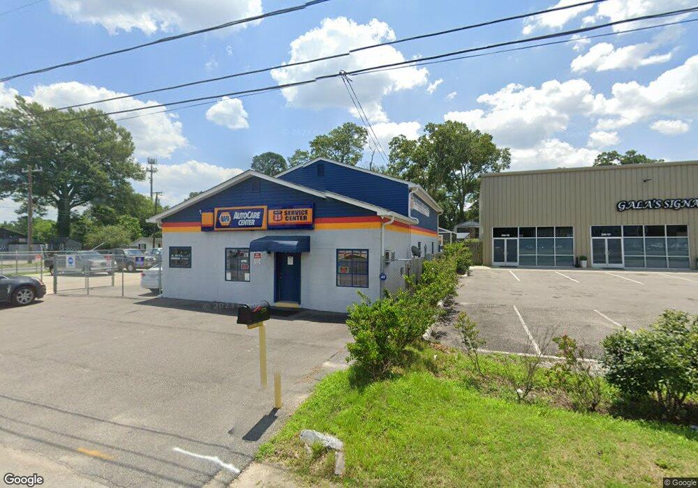
2938 S Military Hwy Chesapeake, VA 23323
Deep Creek NeighborhoodEstimated Value: $529,533
--
Bed
--
Bath
1,860
Sq Ft
$285/Sq Ft
Est. Value
About This Home
This home is located at 2938 S Military Hwy, Chesapeake, VA 23323 and is currently estimated at $529,533, approximately $284 per square foot. 2938 S Military Hwy is a home located in Chesapeake City with nearby schools including Deep Creek Elementary School, Deep Creek Middle School, and Deep Creek High.
Ownership History
Date
Name
Owned For
Owner Type
Purchase Details
Closed on
Mar 16, 2015
Sold by
Hicks Keith D
Bought by
Wilkerson William N
Current Estimated Value
Home Financials for this Owner
Home Financials are based on the most recent Mortgage that was taken out on this home.
Original Mortgage
$255,000
Outstanding Balance
$195,304
Interest Rate
3.68%
Mortgage Type
Commercial
Estimated Equity
$334,229
Create a Home Valuation Report for This Property
The Home Valuation Report is an in-depth analysis detailing your home's value as well as a comparison with similar homes in the area
Home Values in the Area
Average Home Value in this Area
Purchase History
| Date | Buyer | Sale Price | Title Company |
|---|---|---|---|
| Wilkerson William N | $300,000 | -- |
Source: Public Records
Mortgage History
| Date | Status | Borrower | Loan Amount |
|---|---|---|---|
| Open | Wilkerson William N | $255,000 |
Source: Public Records
Tax History Compared to Growth
Tax History
| Year | Tax Paid | Tax Assessment Tax Assessment Total Assessment is a certain percentage of the fair market value that is determined by local assessors to be the total taxable value of land and additions on the property. | Land | Improvement |
|---|---|---|---|---|
| 2025 | $3,472 | $339,100 | $173,600 | $165,500 |
| 2024 | $3,472 | $343,800 | $155,800 | $188,000 |
| 2023 | $3,258 | $347,000 | $155,800 | $191,200 |
| 2022 | $3,147 | $311,600 | $155,800 | $155,800 |
| 2021 | $2,879 | $274,200 | $155,800 | $118,400 |
| 2020 | $2,993 | $285,000 | $155,800 | $129,200 |
| 2019 | $2,976 | $283,400 | $155,800 | $127,600 |
| 2018 | $2,712 | $194,700 | $110,000 | $84,700 |
| 2017 | $2,808 | $267,400 | $133,500 | $133,900 |
| 2016 | $2,561 | $243,900 | $110,000 | $133,900 |
| 2015 | $2,044 | $194,700 | $110,000 | $84,700 |
| 2014 | $2,044 | $194,700 | $110,000 | $84,700 |
Source: Public Records
Map
Nearby Homes
- 1525 Shell Rd
- 1435 Winslow Ave
- 1444 Culpepper Ave
- 928 Michael Dr
- 1400 Winslow Ave
- 2036 Maywood St
- 1463 Rivers Edge Trace
- 1317 Richwood Ave
- 2249 Tennessee Dr
- 309 Paperbark Trail
- 2404 Livesay Rd
- 1241 N River Dr
- 1220 Boxwood Dr
- 1308 Boxwood Dr
- 1807 Whelp Way
- Swan Plan at Shell Place
- Sandpiper Plan at Shell Place
- Pelican Plan at Shell Place
- Gannett Plan at Shell Place
- 1830 Whelp Way
- 814 State St
- 817 State St
- 2940 S Military Hwy
- 813 State St
- 808 State St
- 2004 Iowa St
- 0 Willis St
- 2008 Iowa St
- 2943 S Military Hwy
- 809 State St
- 2010 Iowa St
- 2928 S Military Hwy
- 2944 S Military Hwy
- 2939 S Military Hwy
- 2935 S Military Hwy
- 2016 Iowa St
- 2001 Iowa St
- 2946 S Military Hwy
- 2945 S Military Hwy
- 805 State St