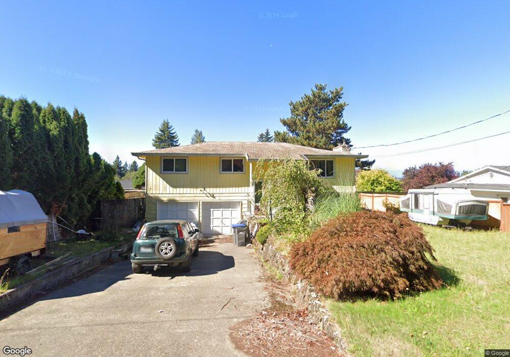
2938 Seiford Ave SE Port Orchard, WA 98366
East Port Orchard NeighborhoodEstimated Value: $448,185 - $483,000
3
Beds
2
Baths
1,056
Sq Ft
$443/Sq Ft
Est. Value
About This Home
This home is located at 2938 Seiford Ave SE, Port Orchard, WA 98366 and is currently estimated at $467,796, approximately $442 per square foot. 2938 Seiford Ave SE is a home located in Kitsap County with nearby schools including East Port Orchard Elementary School, Marcus Whitman Middle School, and South Kitsap High School.
Ownership History
Date
Name
Owned For
Owner Type
Purchase Details
Closed on
Dec 18, 2014
Sold by
Flynn James M
Bought by
Flynn Marie T
Current Estimated Value
Purchase Details
Closed on
Jan 4, 1995
Sold by
Nelson Albert H and Nelson Carol L
Bought by
Flynn James M and Flynn Marie T
Home Financials for this Owner
Home Financials are based on the most recent Mortgage that was taken out on this home.
Original Mortgage
$104,000
Interest Rate
9.27%
Mortgage Type
Assumption
Create a Home Valuation Report for This Property
The Home Valuation Report is an in-depth analysis detailing your home's value as well as a comparison with similar homes in the area
Home Values in the Area
Average Home Value in this Area
Purchase History
| Date | Buyer | Sale Price | Title Company |
|---|---|---|---|
| Flynn Marie T | -- | None Available | |
| Flynn James M | $109,000 | Transamerica Title Ins Co |
Source: Public Records
Mortgage History
| Date | Status | Borrower | Loan Amount |
|---|---|---|---|
| Closed | Flynn James M | $104,000 |
Source: Public Records
Tax History Compared to Growth
Tax History
| Year | Tax Paid | Tax Assessment Tax Assessment Total Assessment is a certain percentage of the fair market value that is determined by local assessors to be the total taxable value of land and additions on the property. | Land | Improvement |
|---|---|---|---|---|
| 2026 | $3,331 | $402,850 | $68,270 | $334,580 |
| 2025 | $3,331 | $376,210 | $60,480 | $315,730 |
| 2024 | $3,230 | $376,210 | $60,480 | $315,730 |
| 2023 | $3,209 | $376,210 | $60,480 | $315,730 |
| 2022 | $3,148 | $309,380 | $56,480 | $252,900 |
| 2021 | $2,815 | $260,990 | $52,480 | $208,510 |
| 2020 | $2,758 | $248,560 | $49,980 | $198,580 |
| 2019 | $2,326 | $229,400 | $49,580 | $179,820 |
| 2018 | $2,440 | $187,220 | $49,580 | $137,640 |
| 2017 | $2,092 | $187,220 | $49,580 | $137,640 |
| 2016 | $2,058 | $168,580 | $49,580 | $119,000 |
| 2015 | $1,990 | $165,210 | $49,580 | $115,630 |
| 2014 | -- | $161,840 | $49,580 | $112,260 |
| 2013 | -- | $166,900 | $52,190 | $114,710 |
Source: Public Records
Map
Nearby Homes
- 3132 Harris Rd SE
- 2198 SE Galeel Ct
- 2360 SE Plymouth Way
- 0 Lincoln Ave SE
- 2313 Lincoln Ave SE
- 2673 Harold Dr SE
- 2315 SE Kelby Cir
- 1330 SE Casandra Loop
- 2225 SE Kelby Cir
- 1350 SE Shelton Ln
- 2235 Eisenhower Ave SE
- 3922 Bethel Rd SE
- 3131 SE Berger Ln
- 1743 SE Crawford Rd
- 2948 SE Alson Ct
- 2124 Pine Tree Dr SE
- 2808 Pine Cone Ct SE
- 2116 Pine Tree Dr SE
- 1408 West Ave
- 3463 Balsam Blvd SE
- 2954 Seiford Ave SE
- 2908 Seiford Ave SE
- 2951 Hoover Ave SE
- 2976 Seiford Ave SE
- 2880 Seiford Ave SE
- 2887 Hoover Ave SE
- 2977 Hoover Ave SE
- 2877 Seiford Ave SE
- 0 Seiford Ave SE Unit 29028272
- 3002 Seiford Ave SE
- 2854 Seiford Ave SE
- 2928 Hoover Ave SE
- 2861 Hoover Ave SE
- 2889 Seiford Ave SE
- 2954 Hoover Ave SE
- 2898 Hoover Ave SE
- 3009 Hoover Ave SE
- 3015 Seiford Ave SE
- 2974 Hoover Ave SE
- 2940 Harris Rd SE