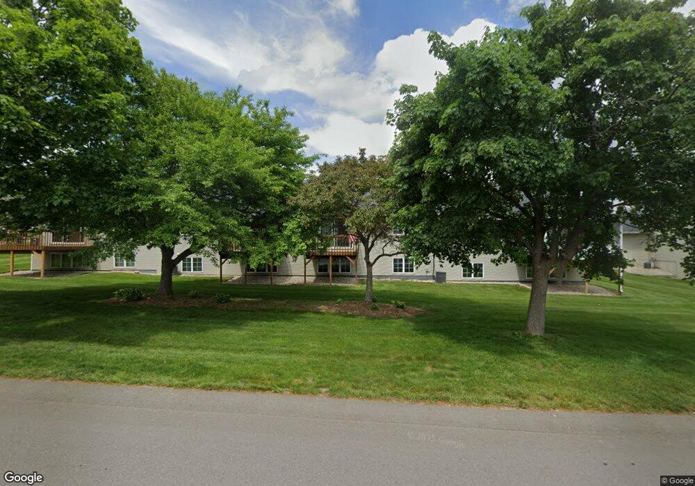
2939 Parkside Dr Unit 87 Jenison, MI 49428
Estimated Value: $261,339 - $285,000
3
Beds
2
Baths
1,058
Sq Ft
$262/Sq Ft
Est. Value
About This Home
This home is located at 2939 Parkside Dr Unit 87, Jenison, MI 49428 and is currently estimated at $277,335, approximately $262 per square foot. 2939 Parkside Dr Unit 87 is a home located in Ottawa County with nearby schools including Georgetown Elementary School, Baldwin Street Middle School, and Hudsonville Freshman Campus.
Ownership History
Date
Name
Owned For
Owner Type
Purchase Details
Closed on
Sep 23, 2021
Sold by
Brown Nancy M
Bought by
Brown Nancy M and Brown Nancy M
Current Estimated Value
Purchase Details
Closed on
Dec 10, 2013
Sold by
Barbara J Schild Revocable Trust
Bought by
Brown Nancy
Purchase Details
Closed on
Apr 8, 2013
Sold by
Schild Barbara J
Bought by
Brown Nancy
Purchase Details
Closed on
Jun 24, 2009
Sold by
Schild Barbara J
Bought by
Liv Schild Barbara J and Barbara J Schild Revocable Living Trust
Purchase Details
Closed on
Sep 16, 2005
Sold by
Ralph R Woldyk Trust
Bought by
Schild Barbara
Create a Home Valuation Report for This Property
The Home Valuation Report is an in-depth analysis detailing your home's value as well as a comparison with similar homes in the area
Home Values in the Area
Average Home Value in this Area
Purchase History
| Date | Buyer | Sale Price | Title Company |
|---|---|---|---|
| Brown Nancy M | -- | None Available | |
| Brown Nancy | -- | Best Homes Title Agency | |
| Brown Nancy | $117,500 | None Available | |
| Liv Schild Barbara J | -- | None Available | |
| Schild Barbara | $135,000 | -- |
Source: Public Records
Tax History Compared to Growth
Tax History
| Year | Tax Paid | Tax Assessment Tax Assessment Total Assessment is a certain percentage of the fair market value that is determined by local assessors to be the total taxable value of land and additions on the property. | Land | Improvement |
|---|---|---|---|---|
| 2025 | $1,844 | $118,100 | $0 | $0 |
| 2024 | $1,596 | $112,900 | $0 | $0 |
| 2023 | $1,524 | $104,600 | $0 | $0 |
| 2022 | $1,675 | $92,300 | $0 | $0 |
| 2021 | $1,627 | $86,500 | $0 | $0 |
| 2020 | $1,611 | $82,200 | $0 | $0 |
| 2019 | $1,613 | $79,200 | $0 | $0 |
| 2018 | $1,504 | $73,500 | $0 | $0 |
| 2017 | $1,476 | $73,600 | $0 | $0 |
| 2016 | $1,468 | $75,300 | $0 | $0 |
| 2015 | $1,401 | $61,300 | $0 | $0 |
| 2014 | $1,401 | $52,600 | $0 | $0 |
Source: Public Records
Map
Nearby Homes
- 2964 Parkside Dr Unit 26
- 2682 Thrush Dr
- 8102 Park Dr W
- 2886 Two Oaks Ct
- 7381 Rolling Hills Dr
- 3143 Park Dr N
- 8206 Eagle Peak Dr
- 7313 Valhalla Dr
- 8292 Bauerridge Ave
- 8292 Bauer Ridge Ave
- 8285 Bauerridge Ave
- 8285 Bauer Ridge Ave
- 8329 Stonington Dr
- 8448 Tucker Ct
- 2881 Rolling Hills Ct
- 3546 Eagles Roost Trail Unit 3
- 8474 Twin Lakes Dr
- 7357 Coconut Dr
- 7318 Alycia Dr
- 3399 Ravinewood Ct Unit 9
- 2876 Parkside Dr
- 2853 Parkside Dr Unit 17
- 2906 Parkside Dr
- 2898 Parkside Dr
- 2896 Parkside Dr
- 2918 Parkside Dr
- 2934 Parkside Dr Unit 54
- 2903 Parkside Dr Unit 74
- 2881 Parkside Dr Unit 65
- 2857 Parkside Dr
- 2946 Parkside Dr Unit 57
- 2888 Parkside Dr Unit 34
- 2877 Parkside Dr Unit 64
- 2930 Parkside Dr
- 2837 Parkside Dr Unit 12
- 2803 Parkside Dr Unit 2
- 2801 Parkside Dr
- 2855 Parkside Dr Unit 18
- 2959 Parkside Dr
- 2825 Parkside Dr Unit 8