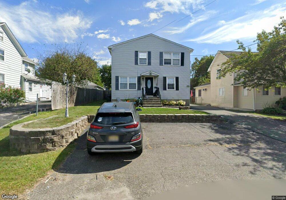
293A Center St Unit B Landing, NJ 07850
Estimated Value: $497,501 - $796,000
--
Bed
--
Bath
2,800
Sq Ft
$233/Sq Ft
Est. Value
About This Home
This home is located at 293A Center St Unit B, Landing, NJ 07850 and is currently estimated at $653,375, approximately $233 per square foot. 293A Center St Unit B is a home located in Morris County with nearby schools including Eisenhower Middle School, Lincoln Roosevelt Elementary School, and Roxbury High School.
Ownership History
Date
Name
Owned For
Owner Type
Purchase Details
Closed on
Mar 31, 2022
Sold by
Dimatteo Liberto and Dimatteo Tricia
Bought by
Dimatteo Property Group Llc
Current Estimated Value
Purchase Details
Closed on
Jan 8, 2020
Sold by
Gambino Salvatore and Gambino Renata
Bought by
Dimatteo Liberto and Dimatteo Tricia
Home Financials for this Owner
Home Financials are based on the most recent Mortgage that was taken out on this home.
Original Mortgage
$270,000
Interest Rate
3.73%
Mortgage Type
New Conventional
Create a Home Valuation Report for This Property
The Home Valuation Report is an in-depth analysis detailing your home's value as well as a comparison with similar homes in the area
Home Values in the Area
Average Home Value in this Area
Purchase History
| Date | Buyer | Sale Price | Title Company |
|---|---|---|---|
| Dimatteo Property Group Llc | -- | First American Title | |
| Dimatteo Liberto | $360,000 | Prestige Title Agency Inc |
Source: Public Records
Mortgage History
| Date | Status | Borrower | Loan Amount |
|---|---|---|---|
| Previous Owner | Dimatteo Liberto | $270,000 |
Source: Public Records
Tax History Compared to Growth
Tax History
| Year | Tax Paid | Tax Assessment Tax Assessment Total Assessment is a certain percentage of the fair market value that is determined by local assessors to be the total taxable value of land and additions on the property. | Land | Improvement |
|---|---|---|---|---|
| 2025 | $9,902 | $360,200 | $69,600 | $290,600 |
| 2024 | $9,747 | $360,200 | $69,600 | $290,600 |
| 2023 | $9,747 | $360,200 | $69,600 | $290,600 |
| 2022 | $9,488 | $360,200 | $69,600 | $290,600 |
| 2021 | $9,488 | $360,200 | $69,600 | $290,600 |
| 2020 | $9,470 | $360,200 | $69,600 | $290,600 |
| 2019 | $9,293 | $360,200 | $69,600 | $290,600 |
| 2018 | $11,417 | $264,900 | $70,900 | $194,000 |
| 2017 | $11,356 | $264,900 | $70,900 | $194,000 |
| 2016 | $11,134 | $264,900 | $70,900 | $194,000 |
| 2015 | $10,858 | $264,900 | $70,900 | $194,000 |
| 2014 | $10,686 | $264,900 | $70,900 | $194,000 |
Source: Public Records
Map
Nearby Homes
- 291 Center St
- 295 Center St
- 289 Center St
- 293 A-B Center St Unit 2
- 297 Center St
- 297 Center St Unit A
- 297 Center St Unit B
- 287 Center St
- 299 Center St
- 299 Center St Unit A
- 17 Canal St
- 19 Canal Stland
- 19 Canal St
- 21 Canal St
- 15 Canal St
- 285 Center St
- 286 Center St
- 13 Canal St Land
- 282 Center St
- 23 Canal St