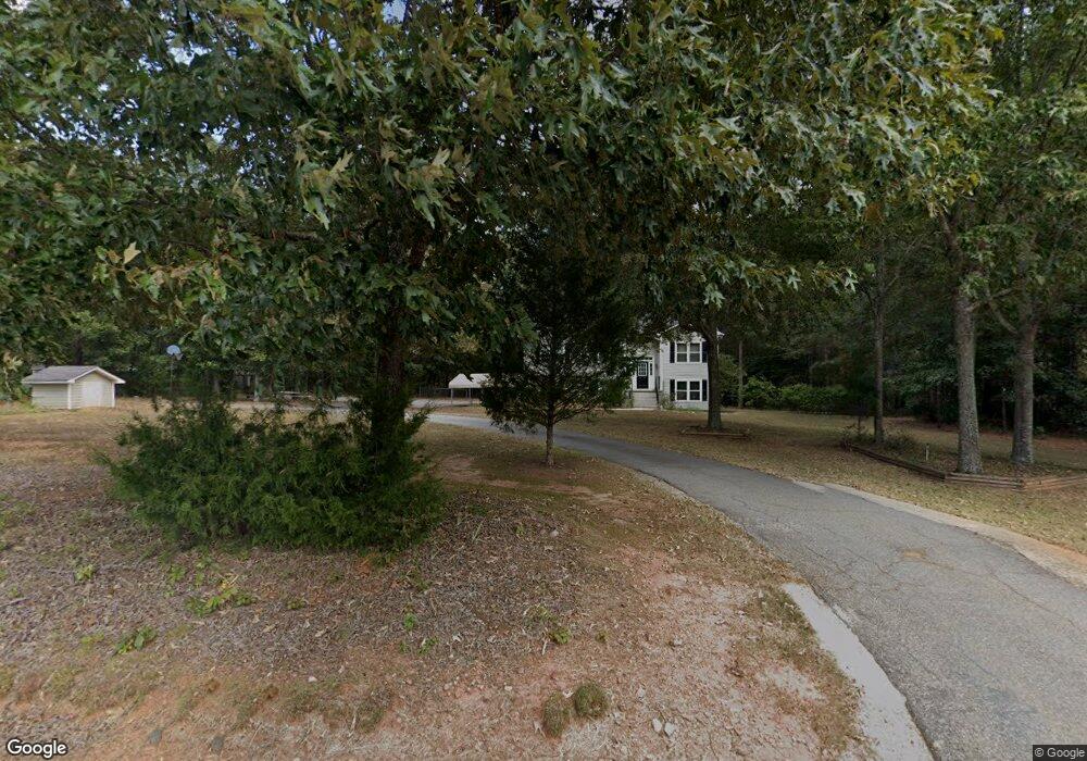
294 Cannafax Rd Barnesville, GA 30204
Estimated Value: $331,922 - $418,000
5
Beds
3
Baths
1,780
Sq Ft
$210/Sq Ft
Est. Value
About This Home
This home is located at 294 Cannafax Rd, Barnesville, GA 30204 and is currently estimated at $373,481, approximately $209 per square foot. 294 Cannafax Rd is a home located in Lamar County with nearby schools including Lamar County Primary School, Lamar County Elementary School, and Lamar County Middle School.
Ownership History
Date
Name
Owned For
Owner Type
Purchase Details
Closed on
Oct 15, 2019
Sold by
Kinnard Rick D
Bought by
Mcquistion Mark Octavius and Mcquistion Catherine Solly
Current Estimated Value
Home Financials for this Owner
Home Financials are based on the most recent Mortgage that was taken out on this home.
Original Mortgage
$201,777
Outstanding Balance
$176,427
Interest Rate
3.62%
Mortgage Type
FHA
Estimated Equity
$197,054
Purchase Details
Closed on
Jul 26, 1999
Sold by
Rappard Edward S
Bought by
Kinnard Rick D
Purchase Details
Closed on
Jul 24, 1998
Sold by
Regional Prop
Bought by
Rappard Edward S
Create a Home Valuation Report for This Property
The Home Valuation Report is an in-depth analysis detailing your home's value as well as a comparison with similar homes in the area
Home Values in the Area
Average Home Value in this Area
Purchase History
| Date | Buyer | Sale Price | Title Company |
|---|---|---|---|
| Mcquistion Mark Octavius | $205,500 | -- | |
| Kinnard Rick D | $121,300 | -- | |
| Rappard Edward S | $14,000 | -- |
Source: Public Records
Mortgage History
| Date | Status | Borrower | Loan Amount |
|---|---|---|---|
| Open | Mcquistion Mark Octavius | $201,777 |
Source: Public Records
Tax History Compared to Growth
Tax History
| Year | Tax Paid | Tax Assessment Tax Assessment Total Assessment is a certain percentage of the fair market value that is determined by local assessors to be the total taxable value of land and additions on the property. | Land | Improvement |
|---|---|---|---|---|
| 2025 | $2,538 | $121,555 | $12,379 | $109,176 |
| 2024 | $2,538 | $101,038 | $12,379 | $88,659 |
| 2023 | $2,621 | $96,825 | $12,379 | $84,446 |
| 2022 | $2,305 | $85,393 | $7,583 | $77,810 |
| 2021 | $1,974 | $67,555 | $5,630 | $61,925 |
| 2020 | $2,172 | $68,623 | $9,384 | $59,239 |
| 2019 | $1,682 | $54,897 | $5,630 | $49,267 |
| 2018 | $1,547 | $52,669 | $5,630 | $47,039 |
| 2017 | $1,539 | $52,669 | $5,630 | $47,039 |
| 2016 | $1,625 | $55,481 | $8,442 | $47,039 |
| 2015 | $1,619 | $55,481 | $8,442 | $47,039 |
| 2014 | $1,570 | $55,481 | $8,442 | $47,039 |
| 2013 | -- | $55,480 | $8,442 | $47,038 |
Source: Public Records
Map
Nearby Homes
- 746 Highway 18 W
- 0 Old Milner Rd Unit 10630085
- 0 Piedmont Rd Unit 10600733
- 967 Five Points Rd
- 0 Washington Cir
- 254 Needleleaf Dr
- 13 Brown St
- 295 Grove St
- 500 Rose Ave
- 818 Cannafax Rd
- 420 Zebulon St
- 339 Atlanta St
- 125 Byrd St
- 144 Berry Rd
- 150 Berry Rd
- 146 Berry Rd
- 148 Berry Rd
- 245 Atlanta St
- 113 Heatherwood Ln
- 531 Thomaston St
- 293 Cannafax Rd
- 302 Cannafax Rd
- 284 Cannafax Rd
- 301 Cannafax Rd
- 840 Highway 18 W
- 254 Cannafax Rd
- 308 Cannafax Rd
- 810 Highway 18 W
- 865 Highway 18 W
- 873 Georgia 18
- 798 Highway 18 W
- 790 Highway 18 W
- 825 Highway 18 W
- 798 Georgia 18
- 894 Highway 18 W
- 0 Cannafax Rd Unit 8413131
- 0 Cannafax Rd Unit 7 8282737
- 0 Cannafax Rd Unit 7 22AC 7311762
- 0 Cannafax Rd Unit 8, 7 7526662
- 0 Cannafax Rd Unit 21 8122493