Estimated Value: $683,113 - $766,000
4
Beds
1
Bath
2,384
Sq Ft
$304/Sq Ft
Est. Value
About This Home
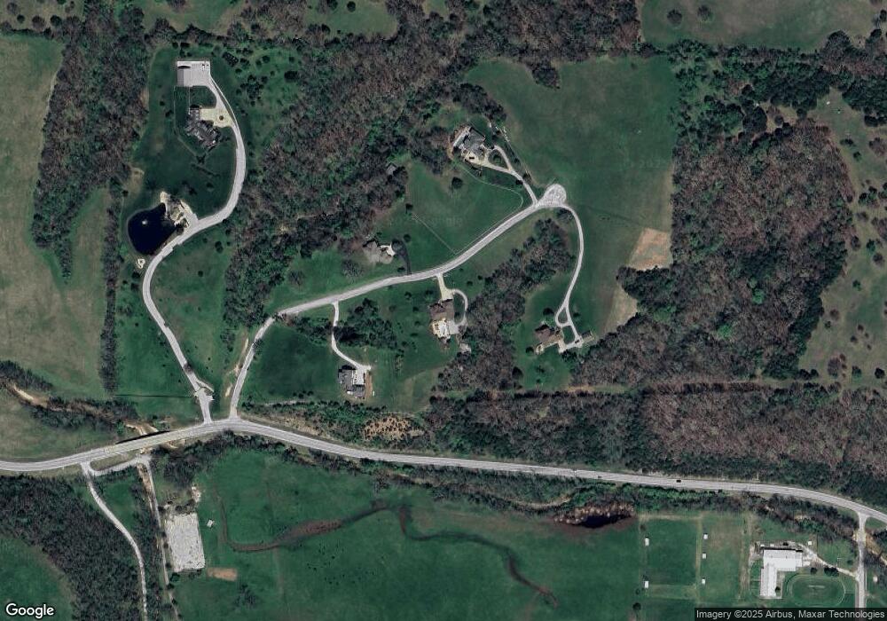
This home is located at 294 Castlegate Dr, Ozark, MO 65721 and is currently estimated at $724,557, approximately $303 per square foot. 294 Castlegate Dr is a home with nearby schools including Summit Intermediate School, Century Elementary School, and Nixa Junior High School.
Ownership History
Date
Name
Owned For
Owner Type
Purchase Details
Closed on
Feb 14, 2007
Sold by
Whittington Havens Dana and Havens Richard
Bought by
Vowels Michael and Vowels Cheryl
Current Estimated Value
Home Financials for this Owner
Home Financials are based on the most recent Mortgage that was taken out on this home.
Original Mortgage
$60,000
Outstanding Balance
$35,306
Interest Rate
6.21%
Mortgage Type
New Conventional
Estimated Equity
$689,251
Purchase Details
Closed on
Apr 19, 2005
Sold by
Whittington Jeffrey L
Bought by
Whittington Dana
Create a Home Valuation Report for This Property
The Home Valuation Report is an in-depth analysis detailing your home's value as well as a comparison with similar homes in the area
Home Values in the Area
Average Home Value in this Area
Purchase History
| Date | Buyer | Sale Price | Title Company |
|---|---|---|---|
| Vowels Michael | -- | None Available | |
| Whittington Dana | -- | Lincoln Evans Land Title Com |
Source: Public Records
Mortgage History
| Date | Status | Borrower | Loan Amount |
|---|---|---|---|
| Open | Vowels Michael | $60,000 |
Source: Public Records
Tax History
| Year | Tax Paid | Tax Assessment Tax Assessment Total Assessment is a certain percentage of the fair market value that is determined by local assessors to be the total taxable value of land and additions on the property. | Land | Improvement |
|---|---|---|---|---|
| 2025 | $4,356 | $73,310 | -- | -- |
| 2024 | $4,356 | $68,610 | -- | -- |
| 2023 | $4,356 | $68,610 | $0 | $0 |
| 2022 | $3,214 | $63,070 | -- | -- |
| 2021 | $3,214 | $63,070 | $0 | $0 |
| 2020 | $3,214 | $51,270 | $0 | $0 |
| 2019 | $3,214 | $51,270 | $0 | $0 |
| 2018 | $2,983 | $51,290 | $0 | $0 |
| 2017 | $2,983 | $51,290 | $0 | $0 |
| 2016 | $2,934 | $51,290 | $0 | $0 |
| 2015 | $2,938 | $51,290 | $51,290 | $0 |
| 2014 | $2,738 | $48,340 | $0 | $0 |
| 2013 | $2,778 | $48,970 | $0 | $0 |
| 2011 | -- | $97,940 | $0 | $0 |
Source: Public Records
Map
Nearby Homes
- 000 Mclean
- 2123 Riverdale Rd
- 1408 Rockhill Cir
- Riley Basement Plan at Valley Ridge
- Danielle Plan at Valley Ridge
- Meredith Plan at Valley Ridge
- Shelby 5-Bed Basement Plan at Valley Ridge
- Paige Plan at Valley Ridge
- Noah Plan at Valley Ridge
- Everett Plan at Valley Ridge
- Olivia Plan at Valley Ridge
- Ethan Plan at Valley Ridge
- Meadow Plan at Valley Ridge
- 1917 W Woodhaven Dr Unit Lot 101
- 1915 W Woodhaven Dr Unit Lot 102
- 2206 S Grassmier Rd Unit Lot 34
- 307 N 38th St
- 1904 W Wellington Dr Unit Lot 56
- 1411 E Riverton Rd
- 000 W Jackson Lot 6 3 28 Acres St
- 201 Castlegate Dr
- 180 Castlegate Dr
- 341 Castlegate Dr
- 1733 W State Highway F
- 1786 W State Highway F
- 1402 Mclean Rd
- 1404 Mclean Rd
- 0 State Highway F Unit 60025886
- 0 W State Highway F
- 30 Acres W State Highway F
- 201 Tennessee Rd
- 0 Tract A Tennessee Rd Unit 11103191
- 200 Tennessee Rd
- 000 W State Highway F
- 2073 W State Highway F
- 1844 Mclean Rd
- 498 Cedar Hills Rd
- 501 Cedar Hills Rd
- 1850 Mclean Rd
- 1174 Mclean Rd
