294 Cornwall Bridge Rd Sharon, CT 06069
Estimated Value: $404,000 - $512,000
3
Beds
1
Bath
1,176
Sq Ft
$375/Sq Ft
Est. Value
About This Home
This home is located at 294 Cornwall Bridge Rd, Sharon, CT 06069 and is currently estimated at $440,824, approximately $374 per square foot. 294 Cornwall Bridge Rd is a home located in Litchfield County with nearby schools including Housatonic Valley Regional High School.
Ownership History
Date
Name
Owned For
Owner Type
Purchase Details
Closed on
Oct 2, 2024
Sold by
Dube Kim P
Bought by
Preston Debra A
Current Estimated Value
Purchase Details
Closed on
Oct 28, 2015
Sold by
Preston John W and Preston Patricia A
Bought by
Preston-Dube Kim
Purchase Details
Closed on
Oct 2, 2013
Sold by
Preston John and Preston Patricia
Bought by
Preston Tr John and Preston Patricia
Purchase Details
Closed on
Nov 8, 1963
Bought by
Preston-Dube Kim
Create a Home Valuation Report for This Property
The Home Valuation Report is an in-depth analysis detailing your home's value as well as a comparison with similar homes in the area
Home Values in the Area
Average Home Value in this Area
Purchase History
| Date | Buyer | Sale Price | Title Company |
|---|---|---|---|
| Preston Debra A | $375,000 | None Available | |
| Preston-Dube Kim | -- | -- | |
| Preston Tr John | -- | -- | |
| Preston John W | -- | -- | |
| Preston-Dube Kim | -- | -- | |
| Preston-Dube Kim | -- | -- | |
| Preston Tr John | -- | -- |
Source: Public Records
Tax History Compared to Growth
Tax History
| Year | Tax Paid | Tax Assessment Tax Assessment Total Assessment is a certain percentage of the fair market value that is determined by local assessors to be the total taxable value of land and additions on the property. | Land | Improvement |
|---|---|---|---|---|
| 2025 | $3,019 | $270,800 | $104,900 | $165,900 |
| 2024 | $2,857 | $270,800 | $104,900 | $165,900 |
| 2023 | $2,385 | $165,600 | $77,000 | $88,600 |
| 2022 | $2,385 | $165,600 | $77,000 | $88,600 |
| 2021 | $2,401 | $165,600 | $77,000 | $88,600 |
| 2020 | $2,385 | $165,600 | $77,000 | $88,600 |
| 2019 | $3,813 | $165,600 | $77,000 | $88,600 |
| 2018 | $2,540 | $172,800 | $84,900 | $87,900 |
| 2017 | $2,540 | $172,800 | $84,900 | $87,900 |
| 2016 | $2,488 | $172,800 | $84,900 | $87,900 |
| 2015 | $2,314 | $168,900 | $84,900 | $84,000 |
| 2014 | $2,238 | $168,900 | $84,900 | $84,000 |
Source: Public Records
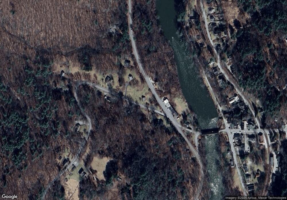
Map
Nearby Homes
- 255 Dibble Hill Rd
- 175 Dibble Hill Rd
- 20 Kirk Rd
- 0 Swaller Hill Rd Unit 24065338
- 0 Swaller Hill Rd Unit 24141946
- 0 Swaller Hill Rd Unit 24141835
- 0 Swaller Hill Rd Unit 24141828
- 0 Swaller Hill Rd Unit 24117863
- 0 East St
- 10 Surdan Mountain Rd
- 471 U S 7
- 12 Popple Swamp Rd
- 50 Popple Swamp Rd
- 200 Sharon Mountain Rd
- 164 East St
- 6 Claudia Ln
- 15 Cemetery Hill Rd
- 25 Bowne Rd
- 130 Sharon Mountain Rd
- 21 Sharon Canaan Rd
- 288 Cornwall Bridge Rd
- 286 Cornwall Bridge Rd
- 339 Route 7
- 339 Route 7
- 293 Cornwall Bridge Rd
- 296 Cornwall Bridge Rd
- 343 Route 7
- 280 Cornwall Bridge Rd
- 297 Cornwall Bridge Rd
- 297 W Cornwall Rd
- 334 Route 7
- 303 W Cornwall Rd
- 303 Cornwall Bridge Rd
- 269 Cornwall Bridge Rd
- 8 Lower River Rd
- 319 Route 7
- 263 Cornwall Bridge Rd
- 17 River Rd
- 2 Lower River Rd
- 0 Sharon Goshen Turnpike Unit L10130349