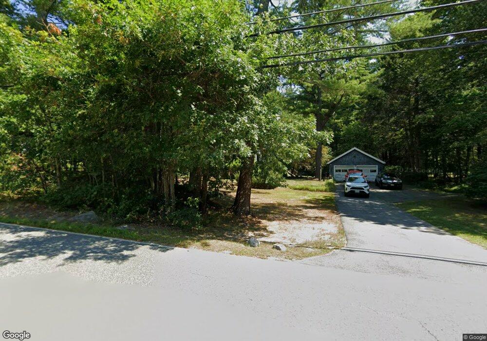
294 East St Carlisle, MA 01741
Estimated Value: $848,590 - $1,220,000
3
Beds
2
Baths
1,734
Sq Ft
$611/Sq Ft
Est. Value
About This Home
This home is located at 294 East St, Carlisle, MA 01741 and is currently estimated at $1,058,898, approximately $610 per square foot. 294 East St is a home located in Middlesex County with nearby schools including Carlisle School and Middlesex School.
Ownership History
Date
Name
Owned For
Owner Type
Purchase Details
Closed on
Apr 30, 1999
Sold by
Dolan Pauline
Bought by
Stegeman Shannon W and Stegman Adam R
Current Estimated Value
Home Financials for this Owner
Home Financials are based on the most recent Mortgage that was taken out on this home.
Original Mortgage
$255,000
Interest Rate
6.95%
Mortgage Type
Purchase Money Mortgage
Create a Home Valuation Report for This Property
The Home Valuation Report is an in-depth analysis detailing your home's value as well as a comparison with similar homes in the area
Home Values in the Area
Average Home Value in this Area
Purchase History
| Date | Buyer | Sale Price | Title Company |
|---|---|---|---|
| Stegeman Shannon W | $340,000 | -- |
Source: Public Records
Mortgage History
| Date | Status | Borrower | Loan Amount |
|---|---|---|---|
| Open | Stegeman Shannon W | $356,000 | |
| Closed | Stegeman Shannon W | $357,000 | |
| Closed | Stegeman Shannon W | $255,000 | |
| Previous Owner | Stegeman Shannon W | $20,000 |
Source: Public Records
Tax History Compared to Growth
Tax History
| Year | Tax Paid | Tax Assessment Tax Assessment Total Assessment is a certain percentage of the fair market value that is determined by local assessors to be the total taxable value of land and additions on the property. | Land | Improvement |
|---|---|---|---|---|
| 2025 | $10,317 | $782,800 | $577,000 | $205,800 |
| 2024 | $10,028 | $752,300 | $533,300 | $219,000 |
| 2023 | $10,039 | $709,500 | $522,500 | $187,000 |
| 2022 | $10,058 | $609,600 | $425,700 | $183,900 |
| 2021 | $9,924 | $609,600 | $425,700 | $183,900 |
| 2020 | $9,487 | $516,700 | $338,600 | $178,100 |
| 2019 | $9,291 | $508,000 | $338,600 | $169,400 |
| 2018 | $9,230 | $508,000 | $338,600 | $169,400 |
| 2017 | $8,951 | $508,000 | $338,600 | $169,400 |
| 2016 | $8,738 | $508,000 | $338,600 | $169,400 |
| 2015 | $8,658 | $455,700 | $325,500 | $130,200 |
| 2014 | $8,494 | $455,700 | $325,500 | $130,200 |
Source: Public Records
Map
Nearby Homes
- 3 Kay's Walk
- 15 Kay's Walk
- 1 Kay's Walk Unit 1
- 1 Kay's Walk
- 13 Kay's Walk
- 15 Kay's Walk Unit 4
- 3 Kay's Walk Unit 3
- 8 Kay's Walk Unit 13
- 14 Kay's Walk
- 6 Kay's Walk Unit 6
- 6 Kay's Walk
- 2 Kay's Walk Unit 18
- 4 Kay's Walk Unit 15
- 225 Lowell St
- 383 E Riding Dr
- 373 E Riding Dr
- 282 Brook St
- 125 Maple St
- 232 Baldwin Rd
- 11 Kay's Walk
- 312 East St
- 266 East St
- 44 Partridge Ln
- 305 East St
- 340 East St
- 246 East St
- 43 Partridge Ln
- 18 Cutters Ridge Rd
- 15 Partridge Ln
- 241 East St
- 146 Tophet Rd
- 162 Tophet Rd
- 162 Tophet Rd Unit 162
- 162 Tophet Rd Unit ,0
- 86 Partridge Ln
- 35 Woodbine Rd
- 56 Cutters Ridge Rd
- 15 Cutters Ridge Rd
- 372 East St
- 371 East St