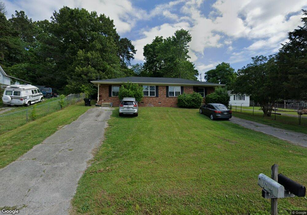
294 Mcafee Rd Rossville, GA 30741
Lakeview NeighborhoodEstimated Value: $188,000 - $262,000
2
Beds
1
Bath
--
Sq Ft
0.34
Acres
About This Home
This home is located at 294 Mcafee Rd, Rossville, GA 30741 and is currently estimated at $234,342. 294 Mcafee Rd is a home located in Catoosa County with nearby schools including Cloud Springs Elementary School, Lakeview Middle School, and Lakeview-Fort Oglethorpe High School.
Ownership History
Date
Name
Owned For
Owner Type
Purchase Details
Closed on
Nov 5, 2021
Sold by
Cochran Gregory Matthew
Bought by
Hagen Amber G and Hagen Corey E
Current Estimated Value
Purchase Details
Closed on
Jul 31, 2017
Bought by
Cochran Gregory Matthew and Cochran Julie Anne
Home Financials for this Owner
Home Financials are based on the most recent Mortgage that was taken out on this home.
Original Mortgage
$71,250
Interest Rate
3.88%
Mortgage Type
New Conventional
Purchase Details
Closed on
Mar 5, 2003
Bought by
Biltford Enterprise Llc
Create a Home Valuation Report for This Property
The Home Valuation Report is an in-depth analysis detailing your home's value as well as a comparison with similar homes in the area
Home Values in the Area
Average Home Value in this Area
Purchase History
| Date | Buyer | Sale Price | Title Company |
|---|---|---|---|
| Hagen Amber G | $190,000 | -- | |
| Cochran Gregory Matthew | $95,000 | -- | |
| Biltford Enterprise Llc | $86,000 | -- |
Source: Public Records
Mortgage History
| Date | Status | Borrower | Loan Amount |
|---|---|---|---|
| Previous Owner | Cochran Gregory Matthew | $71,250 |
Source: Public Records
Tax History Compared to Growth
Tax History
| Year | Tax Paid | Tax Assessment Tax Assessment Total Assessment is a certain percentage of the fair market value that is determined by local assessors to be the total taxable value of land and additions on the property. | Land | Improvement |
|---|---|---|---|---|
| 2024 | $1,766 | $90,714 | $8,394 | $82,320 |
| 2023 | $1,365 | $60,954 | $8,394 | $52,560 |
| 2022 | $1,072 | $47,874 | $8,394 | $39,480 |
| 2021 | $873 | $41,706 | $8,394 | $33,312 |
| 2020 | $812 | $35,083 | $7,461 | $27,622 |
| 2019 | $821 | $35,083 | $7,461 | $27,622 |
| 2018 | $867 | $35,083 | $7,461 | $27,622 |
| 2017 | $888 | $35,944 | $7,188 | $28,756 |
| 2016 | $866 | $33,327 | $7,188 | $26,139 |
| 2015 | -- | $33,327 | $7,188 | $26,139 |
| 2014 | -- | $33,327 | $7,188 | $26,139 |
| 2013 | -- | $33,326 | $7,187 | $26,139 |
Source: Public Records
Map
Nearby Homes
- 268 Lawrence Dr
- 62 Parkett St
- 155 Warren St
- 455 Warren St
- 195 S Elmwood St
- 201-203 Chestnut St
- 153 Grove St
- 635 W Cloud Springs Rd
- 936 Cross St
- 44 Harrison Ave
- 177 Magnolia St
- 385 Cross St
- 1003 Magnolia St
- 394 School St
- 925 Magnolia St
- 4 Dogwood Dr
- 216 Catoosa St
- 255 Pine Hill Dr
- 65 Nason St
- 27 Edgewood Cir
- 294 296 Mcafee Rd
- 294 296 Mcafee Rd Unit 294
- 294-296 Mcafee Rd Unit 294
- 296 Mcafee Rd
- 312 Mcafee Rd
- 280 Mcafee Rd
- 324 Mcafee Rd
- 266 Mcafee Rd
- 275 Lawrence Dr
- 297 Mcafee Rd
- 338 Mcafee Rd
- 309 Mcafee Rd
- 323 Mcafee Rd
- 250 Mcafee Rd
- 345 Lawrence Dr
- 345 Lawrence St
- 350 Mcafee Rd
- 0 Lawrence St
- 316 Lawrence Dr
- 333 Mcafee Rd