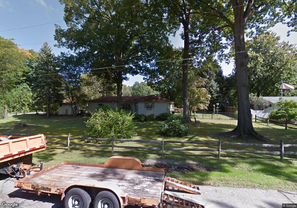
294 Morgan Dr Painesville, OH 44077
Estimated Value: $185,000 - $277,000
3
Beds
1
Bath
2,069
Sq Ft
$116/Sq Ft
Est. Value
About This Home
This home is located at 294 Morgan Dr, Painesville, OH 44077 and is currently estimated at $240,338, approximately $116 per square foot. 294 Morgan Dr is a home located in Lake County with nearby schools including Henry F. Lamuth Middle School, Riverside Junior/Senior High School, and Summit Academy Community School - Painesville.
Ownership History
Date
Name
Owned For
Owner Type
Purchase Details
Closed on
Aug 26, 2021
Sold by
Chom Helga F
Bought by
Chom Michael and Chom Christine Marie
Current Estimated Value
Home Financials for this Owner
Home Financials are based on the most recent Mortgage that was taken out on this home.
Original Mortgage
$150,000
Interest Rate
2.8%
Mortgage Type
VA
Purchase Details
Closed on
May 9, 1985
Bought by
Chom Francis E
Create a Home Valuation Report for This Property
The Home Valuation Report is an in-depth analysis detailing your home's value as well as a comparison with similar homes in the area
Home Values in the Area
Average Home Value in this Area
Purchase History
| Date | Buyer | Sale Price | Title Company |
|---|---|---|---|
| Chom Michael | $150,000 | Ohio Real Title | |
| Chom Francis E | -- | -- |
Source: Public Records
Mortgage History
| Date | Status | Borrower | Loan Amount |
|---|---|---|---|
| Previous Owner | Chom Michael | $150,000 |
Source: Public Records
Tax History Compared to Growth
Tax History
| Year | Tax Paid | Tax Assessment Tax Assessment Total Assessment is a certain percentage of the fair market value that is determined by local assessors to be the total taxable value of land and additions on the property. | Land | Improvement |
|---|---|---|---|---|
| 2024 | -- | $81,220 | $21,750 | $59,470 |
| 2023 | $6,644 | $60,970 | $15,690 | $45,280 |
| 2022 | $3,572 | $60,970 | $15,690 | $45,280 |
| 2021 | $3,076 | $60,970 | $15,690 | $45,280 |
| 2020 | $2,956 | $53,020 | $13,650 | $39,370 |
| 2019 | $2,978 | $53,020 | $13,650 | $39,370 |
| 2018 | $2,987 | $47,220 | $10,290 | $36,930 |
| 2017 | $2,677 | $47,220 | $10,290 | $36,930 |
| 2016 | $2,358 | $47,220 | $10,290 | $36,930 |
| 2015 | $2,202 | $47,220 | $10,290 | $36,930 |
| 2014 | $2,238 | $47,220 | $10,290 | $36,930 |
| 2013 | $2,187 | $47,220 | $10,290 | $36,930 |
Source: Public Records
Map
Nearby Homes
- 43 Bristol Ave
- V/L Morgan Dr
- 396 Park Rd
- 525 Morgan Dr
- 67 Tanners Farm Dr
- 500 Park Rd
- 65 Tanners Farm Dr
- 5406 Pebble Creek Ln
- 1182 Dalton Dr
- 1172 Dalton Dr
- 30 Orton Rd
- 44 Grove Ave
- 4505 Lane Rd
- 58 Deerfield Dr
- 269 Hale Rd
- 108 Birch Dr
- 238 Radley Dr
- 0 N Ridge Rd Unit 5110949
- 1787 Muirfield Ln
- 65 Country Ln
- 284 Morgan Dr
- 2506 Bristol Ave
- 91 Bristol Ave
- 276 Morgan Dr
- 94 Bristol Ave
- 2516 Bristol Ave
- 83 Bristol Ave
- 2505 Dorchester Dr
- 84 Bristol Ave
- 2503 Bristol Ave
- 266 Morgan Dr
- 2526 Bristol Ave
- 267 Morgan Dr
- 2515 Dorchester Dr
- 2513 Bristol Ave
- 73 Bristol Ave
- 74 Bristol Ave
- 83 Dorchester Dr
- 0 Dorchester Rd
- 2525 Dorchester Dr