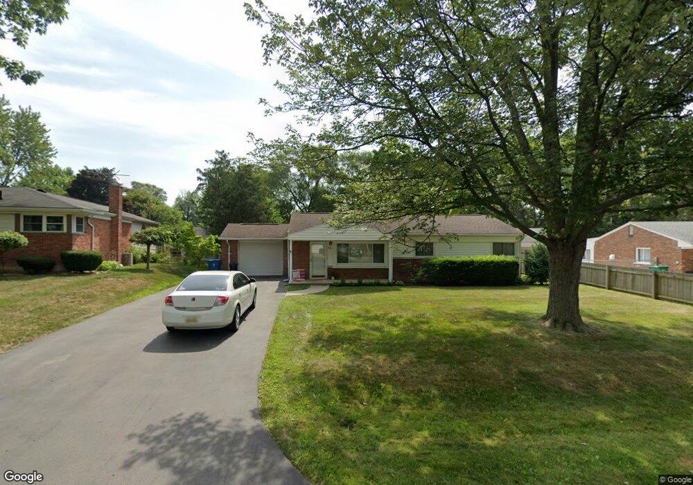
294 Tilmor Dr Unit Bldg-Unit Waterford, MI 48328
Waterford Township NeighborhoodEstimated Value: $225,861 - $257,000
3
Beds
1
Bath
1,100
Sq Ft
$224/Sq Ft
Est. Value
About This Home
This home is located at 294 Tilmor Dr Unit Bldg-Unit, Waterford, MI 48328 and is currently estimated at $246,215, approximately $223 per square foot. 294 Tilmor Dr Unit Bldg-Unit is a home located in Oakland County with nearby schools including Donelson Hills Elementary School, Mason Middle School, and Waterford Mott High School.
Ownership History
Date
Name
Owned For
Owner Type
Purchase Details
Closed on
Jul 17, 2018
Sold by
Fahlquist Daniel and Vancamp Brandy
Bought by
Lemanski Becky
Current Estimated Value
Purchase Details
Closed on
Jul 15, 2013
Sold by
Landane Kimberly A
Bought by
Fahlquist Daniel and Vancamp Brandy
Home Financials for this Owner
Home Financials are based on the most recent Mortgage that was taken out on this home.
Original Mortgage
$93,279
Interest Rate
4.75%
Mortgage Type
FHA
Purchase Details
Closed on
Sep 8, 2008
Sold by
Munk Linda A and Linda A Swartz Living Trust
Bought by
Landane Kimberly A
Purchase Details
Closed on
Dec 8, 1999
Sold by
Swartz Linda A
Bought by
Linda A Swartz Tr
Create a Home Valuation Report for This Property
The Home Valuation Report is an in-depth analysis detailing your home's value as well as a comparison with similar homes in the area
Home Values in the Area
Average Home Value in this Area
Purchase History
| Date | Buyer | Sale Price | Title Company |
|---|---|---|---|
| Lemanski Becky | $159,900 | First American Title Insuren | |
| Fahlquist Daniel | $95,000 | Sargents Title Company | |
| Landane Kimberly A | $112,500 | None Available | |
| Linda A Swartz Tr | -- | -- |
Source: Public Records
Mortgage History
| Date | Status | Borrower | Loan Amount |
|---|---|---|---|
| Previous Owner | Fahlquist Daniel | $93,279 |
Source: Public Records
Tax History Compared to Growth
Tax History
| Year | Tax Paid | Tax Assessment Tax Assessment Total Assessment is a certain percentage of the fair market value that is determined by local assessors to be the total taxable value of land and additions on the property. | Land | Improvement |
|---|---|---|---|---|
| 2024 | $1,401 | $86,100 | $0 | $0 |
| 2023 | $1,336 | $73,960 | $0 | $0 |
| 2022 | $2,189 | $69,280 | $0 | $0 |
| 2021 | $2,073 | $67,470 | $0 | $0 |
| 2020 | $1,223 | $62,780 | $0 | $0 |
| 2019 | $2,024 | $55,790 | $0 | $0 |
| 2018 | $1,265 | $48,410 | $0 | $0 |
| 2017 | $1,167 | $48,410 | $0 | $0 |
| 2016 | $1,172 | $44,010 | $0 | $0 |
| 2015 | -- | $38,850 | $0 | $0 |
| 2014 | -- | $32,360 | $0 | $0 |
| 2011 | -- | $35,730 | $0 | $0 |
Source: Public Records
Map
Nearby Homes
- 3168 Herbell Dr
- 422 Fernbarry Dr
- 2949 Lacota Rd
- 265 Hillcliff Dr
- 3118 Harbor Ct
- 371 Hillcliff Dr
- 2960 Cottonwood Dr
- 798 Amberly Dr Unit B
- 3066 W Huron St
- 0000 Cheyenne
- 27 Lake Village Ave
- 3062 Brookside Dr
- 3014 Edgewater Dr
- 345 Beverly Island Dr
- 881 Tyrone Ave
- 841 Nash Ave
- 3676 Mark Rd
- 1160 Boston Ave
- 1124 Holbrook Ave
- 321 Beverly Estates Dr Unit 5
- 294 Tilmor Dr
- 284 Tilmor Dr
- 304 Tilmor Dr
- 314 Tilmor Dr
- 274 Tilmor Dr
- 3030 Herbell Dr
- 291 Scott Lake Rd
- 279 Scott Lake Rd
- 301 Scott Lake Rd
- 269 Scott Lake Rd Unit Bldg-Unit
- 269 Scott Lake Rd
- 293 Tilmor Dr
- 247 Scott Lake Rd
- 313 Scott Lake Rd
- 303 Tilmor Dr
- 324 Tilmor Dr
- 257 Scott Lake Rd
- 273 Tilmor Dr
- 313 Tilmor Dr
- 323 Scott Lake Rd