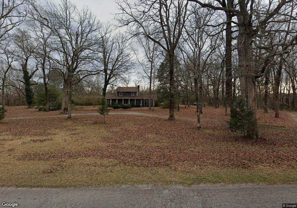
294 Tingle Rd Jackson, GA 30233
Estimated Value: $308,913 - $789,000
4
Beds
2
Baths
2,472
Sq Ft
$187/Sq Ft
Est. Value
About This Home
This home is located at 294 Tingle Rd, Jackson, GA 30233 and is currently estimated at $462,478, approximately $187 per square foot. 294 Tingle Rd is a home located in Monroe County with nearby schools including Katherine B. Sutton Elementary School and Mary Persons High School.
Ownership History
Date
Name
Owned For
Owner Type
Purchase Details
Closed on
Jul 28, 2011
Sold by
Norsworthy Justin D
Bought by
Norsworthy Justin D
Current Estimated Value
Home Financials for this Owner
Home Financials are based on the most recent Mortgage that was taken out on this home.
Original Mortgage
$125,000
Outstanding Balance
$85,142
Interest Rate
4.53%
Mortgage Type
New Conventional
Estimated Equity
$377,336
Purchase Details
Closed on
Jan 3, 2005
Sold by
Wilson Johnny G
Bought by
Wilson Sulla C
Purchase Details
Closed on
Jan 20, 1989
Sold by
Tidwell Carl E
Bought by
Wilson Johnny G and Wilson Sulla C
Create a Home Valuation Report for This Property
The Home Valuation Report is an in-depth analysis detailing your home's value as well as a comparison with similar homes in the area
Home Values in the Area
Average Home Value in this Area
Purchase History
| Date | Buyer | Sale Price | Title Company |
|---|---|---|---|
| Norsworthy Justin D | -- | -- | |
| Norsworthy Justin D | $175,000 | -- | |
| Wilson Sulla C | -- | -- | |
| Wilson Johnny G | $25,000 | -- |
Source: Public Records
Mortgage History
| Date | Status | Borrower | Loan Amount |
|---|---|---|---|
| Open | Norsworthy Justin D | $125,000 |
Source: Public Records
Tax History
| Year | Tax Paid | Tax Assessment Tax Assessment Total Assessment is a certain percentage of the fair market value that is determined by local assessors to be the total taxable value of land and additions on the property. | Land | Improvement |
|---|---|---|---|---|
| 2025 | $1,857 | $77,948 | $18,440 | $59,508 |
| 2024 | $1,857 | $77,948 | $18,440 | $59,508 |
| 2023 | $2,106 | $68,628 | $18,440 | $50,188 |
| 2022 | $1,858 | $68,628 | $18,440 | $50,188 |
| 2021 | $1,923 | $68,628 | $18,440 | $50,188 |
| 2020 | $1,865 | $64,908 | $14,720 | $50,188 |
| 2019 | $1,880 | $64,908 | $14,720 | $50,188 |
| 2018 | $1,820 | $62,640 | $14,720 | $47,920 |
| 2017 | $1,821 | $62,640 | $14,720 | $47,920 |
| 2016 | $1,731 | $62,640 | $14,720 | $47,920 |
| 2015 | $1,739 | $66,360 | $18,440 | $47,920 |
| 2014 | $1,677 | $66,360 | $18,440 | $47,920 |
Source: Public Records
Map
Nearby Homes
- 738 Teagle Rd
- 0 Brownlee Rd Unit 10671220
- Hemingway Plan at The Woodlands Preserve
- Mira II Plan at The Woodlands Preserve
- Walker Plan at The Woodlands Preserve
- Sinclair Plan at The Woodlands Preserve
- Adrian Plan at The Woodlands Preserve
- Avery Plan at The Woodlands Preserve
- Shiloh Plan at The Woodlands Preserve
- Harding Plan at The Woodlands Preserve
- 351 Homestead Circle Lot 23a Cir Unit LOT 23A
- 341 Homestead Cir Unit LOT 22A
- 95 Big Buck Trail
- 381 Homestead Cir
- 130 Post Oak Dr
- 131 Post Oak Dr Unit 209
- 135 Post Oak Dr Unit 207
- 139 Post Oak Dr Unit 202
- 135 Post Oak Dr
- 139 Post Oak Dr