294 W Coal Ridge Ln Georgetown, KY 40324
Southeast Scott County NeighborhoodEstimated Value: $528,000 - $814,000
4
Beds
3
Baths
2,752
Sq Ft
$242/Sq Ft
Est. Value
About This Home
This home is located at 294 W Coal Ridge Ln, Georgetown, KY 40324 and is currently estimated at $667,279, approximately $242 per square foot. 294 W Coal Ridge Ln is a home located in Scott County with nearby schools including Creekside Elementary School, Eastern Elementary School, and Scott County Middle School.
Ownership History
Date
Name
Owned For
Owner Type
Purchase Details
Closed on
Feb 12, 2024
Sold by
Cline William and Cline Dorothy
Bought by
Cline William
Current Estimated Value
Home Financials for this Owner
Home Financials are based on the most recent Mortgage that was taken out on this home.
Original Mortgage
$239,000
Outstanding Balance
$222,497
Interest Rate
5.87%
Mortgage Type
New Conventional
Estimated Equity
$444,782
Purchase Details
Closed on
Apr 25, 2005
Sold by
Johnson Bryan K and Johnson Kathleen
Bought by
Cline William and Cline Dorothy
Home Financials for this Owner
Home Financials are based on the most recent Mortgage that was taken out on this home.
Original Mortgage
$74,400
Interest Rate
5.99%
Mortgage Type
Credit Line Revolving
Create a Home Valuation Report for This Property
The Home Valuation Report is an in-depth analysis detailing your home's value as well as a comparison with similar homes in the area
Home Values in the Area
Average Home Value in this Area
Purchase History
| Date | Buyer | Sale Price | Title Company |
|---|---|---|---|
| Cline William | $397,750 | Mortgage Connect | |
| Cline William | $397,750 | Mortgage Connect | |
| Cline William | $372,000 | None Available |
Source: Public Records
Mortgage History
| Date | Status | Borrower | Loan Amount |
|---|---|---|---|
| Open | Cline William | $239,000 | |
| Closed | Cline William | $239,000 | |
| Previous Owner | Cline William | $74,400 | |
| Previous Owner | Cline William | $297,600 |
Source: Public Records
Tax History Compared to Growth
Tax History
| Year | Tax Paid | Tax Assessment Tax Assessment Total Assessment is a certain percentage of the fair market value that is determined by local assessors to be the total taxable value of land and additions on the property. | Land | Improvement |
|---|---|---|---|---|
| 2024 | $3,686 | $456,200 | $0 | $0 |
| 2023 | $3,606 | $444,100 | $85,000 | $359,100 |
| 2022 | $3,569 | $419,800 | $85,000 | $334,800 |
| 2021 | $3,682 | $419,800 | $85,000 | $334,800 |
| 2020 | $3,521 | $409,800 | $75,000 | $334,800 |
| 2019 | $3,366 | $385,600 | $0 | $0 |
| 2018 | $3,241 | $373,480 | $0 | $0 |
| 2017 | $3,257 | $373,480 | $0 | $0 |
| 2016 | $3,007 | $373,480 | $0 | $0 |
| 2015 | $2,930 | $366,200 | $0 | $0 |
| 2014 | $2,798 | $366,200 | $0 | $0 |
| 2011 | $2,704 | $372,000 | $0 | $0 |
Source: Public Records
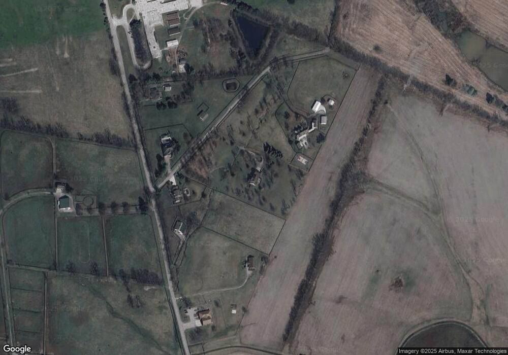
Map
Nearby Homes
- 100 Ridgeview Ln
- 102 Pemberley Cove Ln
- 105 Pemberley Cove Ln
- 110 Pemberley Cove Ln
- 186 Watercrest Way
- 256 Carrick Pike
- 183 Watercrest Way
- 185 Watercrest Way
- 172 Watercrest Way
- 170 Watercrest Way
- 166 Watercrest Way
- 177 Watercrest Way
- 164 Watercrest Way
- The Duncan Plan at The Abbey at Old Oxford - Traditional Collection
- The Glenstone Plan at The Abbey at Old Oxford - Traditional Collection
- The Westbrook Plan at The Abbey at Old Oxford - Traditional Collection
- The Greenfield Plan at The Abbey at Old Oxford - Traditional Collection
- The Albany Plan at The Abbey at Old Oxford - Traditional Collection
- The Chatfield Expanded - 3 Car Plan at The Abbey at Old Oxford - Traditional Collection
- The Talbot Plan at The Abbey at Old Oxford - Traditional Collection
- 290 W Coal Ridge Ln
- 298 W Coal Ridge Ln
- 299 W Coal Ridge Ln
- 3185 Newtown Pike
- 3251 Newtown Pike
- 3415 Newtown Pike
- 3159 Newtown Pike
- 3192 Newtown Pike
- 3181 Newtown Pike
- 148 Coal Ridge Ln
- 146 Coal Ridge Ln
- 142 Coal Ridge Ln
- 140 Coal Ridge Ln
- 149 Coal Ridge Ln
- 147 Coal Ridge Ln
- 138 Coal Ridge Ln
- 145 Coal Ridge Ln
- 145 Coal Ridge Ln Unit 1
- 136 Coal Ridge Ln
- 143 Coal Ridge Ln