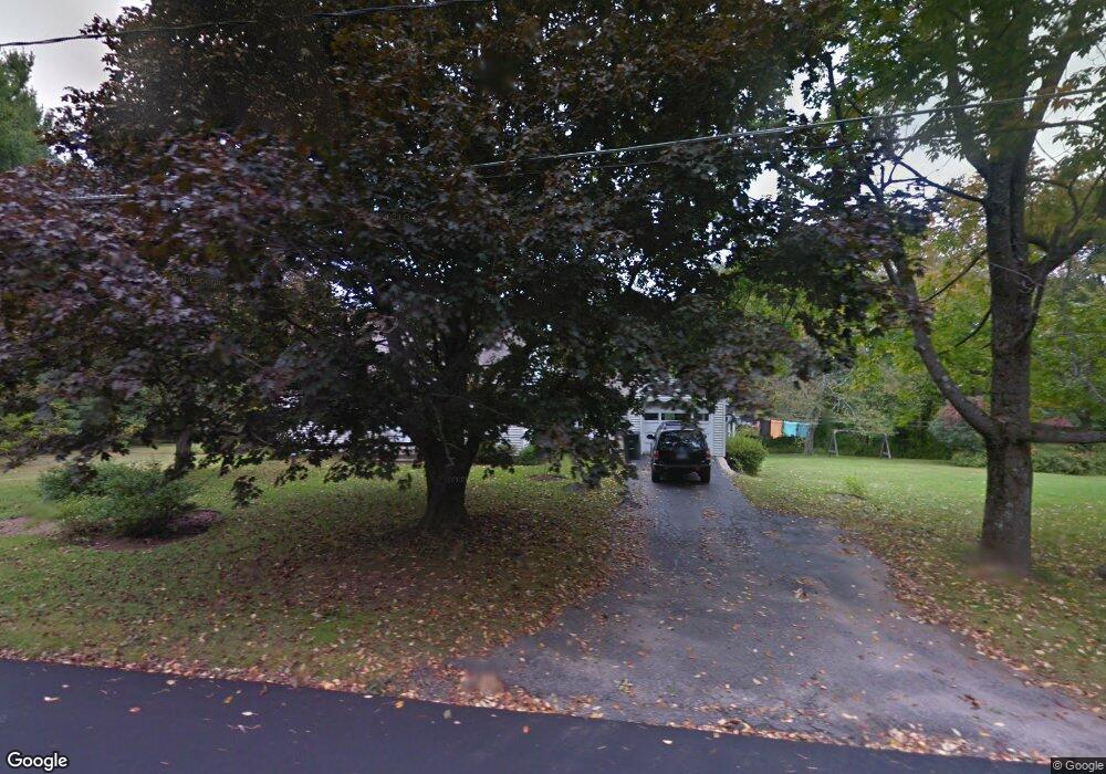
294 Westside Ln Torrington, CT 06790
Estimated Value: $299,687 - $364,000
3
Beds
1
Bath
1,310
Sq Ft
$253/Sq Ft
Est. Value
About This Home
This home is located at 294 Westside Ln, Torrington, CT 06790 and is currently estimated at $331,672, approximately $253 per square foot. 294 Westside Ln is a home located in Litchfield County with nearby schools including Torrington Middle School, Torrington High School, and St. Peter School.
Ownership History
Date
Name
Owned For
Owner Type
Purchase Details
Closed on
Jan 7, 2010
Sold by
James Seeram
Bought by
Truelove Jane
Current Estimated Value
Purchase Details
Closed on
Jan 25, 2001
Sold by
Est Ferris Elizabeth and Pallokat Jane
Bought by
Ferris Frederick E
Home Financials for this Owner
Home Financials are based on the most recent Mortgage that was taken out on this home.
Original Mortgage
$95,000
Interest Rate
7%
Create a Home Valuation Report for This Property
The Home Valuation Report is an in-depth analysis detailing your home's value as well as a comparison with similar homes in the area
Home Values in the Area
Average Home Value in this Area
Purchase History
| Date | Buyer | Sale Price | Title Company |
|---|---|---|---|
| Truelove Jane | $17,500 | -- | |
| Ferris Frederick E | $135,000 | -- |
Source: Public Records
Mortgage History
| Date | Status | Borrower | Loan Amount |
|---|---|---|---|
| Previous Owner | Ferris Frederick E | $95,000 |
Source: Public Records
Tax History
| Year | Tax Paid | Tax Assessment Tax Assessment Total Assessment is a certain percentage of the fair market value that is determined by local assessors to be the total taxable value of land and additions on the property. | Land | Improvement |
|---|---|---|---|---|
| 2025 | $6,745 | $175,420 | $43,610 | $131,810 |
| 2024 | $4,742 | $98,860 | $36,220 | $62,640 |
| 2023 | $4,741 | $98,860 | $36,220 | $62,640 |
| 2022 | $4,660 | $98,860 | $36,220 | $62,640 |
| 2021 | $4,564 | $98,860 | $36,220 | $62,640 |
| 2020 | $4,564 | $98,860 | $36,220 | $62,640 |
| 2019 | $4,401 | $95,320 | $39,900 | $55,420 |
| 2018 | $4,401 | $95,320 | $39,900 | $55,420 |
| 2017 | $4,361 | $95,320 | $39,900 | $55,420 |
| 2016 | $4,361 | $95,320 | $39,900 | $55,420 |
Source: Public Records
Map
Nearby Homes
- 112 Greenfield Dr
- 70 Greenfield Dr
- 80 Baron Ln
- 1739 Weed Rd
- 349 Allen Rd Unit 45D
- 68 Westledge Terrace
- 305 Westledge Dr
- 1657 Weed Rd
- 155 Allen Rd
- 7 Ford Ln
- 85 Ford Ln
- 83 Chelsea Ct
- 56 Reservoir Rd
- 1769 Goshen Rd
- 0 Meadowcrest N Unit 24116337
- 12 Meadow Crest N
- 9 Meadow Crest N
- 0 Highland Ave Unit 24088105
- 58 Eggleston St
- 398 Funston Ave
- 334 Westside Ln
- 327 Westside Ln
- 341 Westside Ln
- 341 Westside Ln Unit To
- 254 Westside Ln
- 356 Westside Ln
- 400 Westside Ln
- 361 Westside Ln
- 297 Westside Ln
- 422 Westside Ln
- 212 Westside Ln
- 375 Westside Ln
- 205 Westside Ln
- 440 Westside Ln
- 399 Westside Ln
- 417 Westside Ln
- 371 Westside Ln
- 176 Westside Ln
- 131 Arel Dr
- 457 Westside Ln
Your Personal Tour Guide
Ask me questions while you tour the home.