29400 Hidden Forrest Dr Easton, MD 21601
Estimated Value: $355,000 - $438,000
--
Bed
2
Baths
1,280
Sq Ft
$313/Sq Ft
Est. Value
About This Home
This home is located at 29400 Hidden Forrest Dr, Easton, MD 21601 and is currently estimated at $400,416, approximately $312 per square foot. 29400 Hidden Forrest Dr is a home located in Talbot County with nearby schools including White Marsh Elementary School, Easton Middle School, and Easton High School.
Ownership History
Date
Name
Owned For
Owner Type
Purchase Details
Closed on
Sep 20, 2006
Sold by
Popp Michael A
Bought by
Fisher Lisa A and Wiggins Willard E
Current Estimated Value
Purchase Details
Closed on
Jun 30, 2006
Sold by
Popp Michael A
Bought by
Fisher Lisa A and Wiggins Willard E
Purchase Details
Closed on
Dec 14, 2004
Sold by
Hause John C
Bought by
Popp Michael A and Houston Nicholle M
Purchase Details
Closed on
Nov 1, 1996
Sold by
Potter Michael Raymond
Bought by
Hause John C
Purchase Details
Closed on
Apr 24, 1995
Sold by
Potter Michael Raymond
Bought by
Potter Michael Raymond
Create a Home Valuation Report for This Property
The Home Valuation Report is an in-depth analysis detailing your home's value as well as a comparison with similar homes in the area
Home Values in the Area
Average Home Value in this Area
Purchase History
| Date | Buyer | Sale Price | Title Company |
|---|---|---|---|
| Fisher Lisa A | $365,000 | -- | |
| Fisher Lisa A | $365,000 | -- | |
| Popp Michael A | $235,000 | -- | |
| Hause John C | $110,000 | -- | |
| Potter Michael Raymond | -- | -- |
Source: Public Records
Tax History Compared to Growth
Tax History
| Year | Tax Paid | Tax Assessment Tax Assessment Total Assessment is a certain percentage of the fair market value that is determined by local assessors to be the total taxable value of land and additions on the property. | Land | Improvement |
|---|---|---|---|---|
| 2025 | $1,823 | $264,100 | $0 | $0 |
| 2024 | $1,823 | $238,200 | $0 | $0 |
| 2023 | $1,709 | $212,300 | $72,500 | $139,800 |
| 2022 | $1,588 | $208,333 | $0 | $0 |
| 2021 | $1,494 | $204,367 | $0 | $0 |
| 2020 | $1,494 | $200,400 | $75,800 | $124,600 |
| 2019 | $1,492 | $198,700 | $0 | $0 |
| 2018 | $1,443 | $197,000 | $0 | $0 |
| 2017 | $1,373 | $195,300 | $0 | $0 |
| 2016 | $1,296 | $195,300 | $0 | $0 |
| 2015 | $1,161 | $195,300 | $0 | $0 |
| 2014 | $1,161 | $221,800 | $0 | $0 |
Source: Public Records
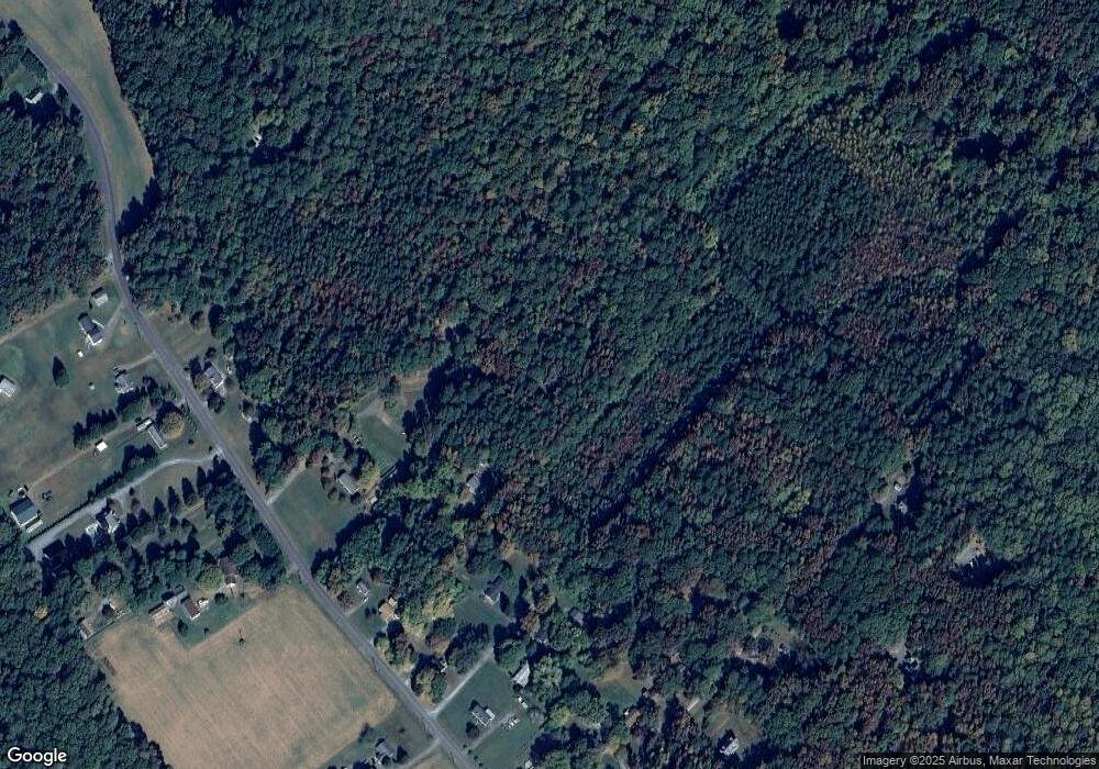
Map
Nearby Homes
- 29543 Ella Brooks Ln
- 6296 Landing Neck Rd
- 29579 Ella Brooks Ln
- 29764 Paddock Ln
- 29862 Paddock Ln
- 28850 Jennings Rd
- 28838 Jennings Rd
- 0 Boston Cliff Rd
- 28824 Jennings Rd
- 29091 Superior Cir
- 29285 Pin Oak Way
- 7065 Dogwood Terrace
- 28630 Edgemere Rd
- 29179 Pin Oak Way
- 28933 Jasper Ln
- 6150 Oxford Rd
- 7144 Fir St
- 28872 Jasper Ln
- 28864 Jasper Ln
- 6780 Cookes Hope Rd
- 29380 Hidden Forrest Dr
- 29358 Hidden Forrest Dr
- 6210 Holly Oak Rd N
- 6237 Landing Neck Rd
- 6215 Holly Oak Rd N
- 6209 Holly Oak Rd N
- 6207 Landing Neck Rd
- 6203 Landing Neck Rd
- 29460 Holly Oak Rd
- 6199 Landing Neck Rd
- 6199 Holly Oak Rd N
- 6191 Landing Neck Rd
- 29444 Holly Oak Rd
- 29450 Holly Oak Rd
- 29440 Holly Oak Rd
- 6171 Landing Neck Rd
- 6263 Landing Neck Rd
- 29459 Holly Oak Rd
- 29430 Holly Oak Rd
- 6299 Landing Neck Rd