Estimated Value: $757,000 - $862,000
4
Beds
4
Baths
3,144
Sq Ft
$254/Sq Ft
Est. Value
About This Home
This home is located at 29400 S Bridgeport Rd, Afton, OK 74331 and is currently estimated at $798,000, approximately $253 per square foot. 29400 S Bridgeport Rd is a home located in Delaware County with nearby schools including Grove Lower Elementary School, Grove Upper Elementary School, and Grove Middle School.
Ownership History
Date
Name
Owned For
Owner Type
Purchase Details
Closed on
Aug 17, 2018
Sold by
Brasted Kenneth P and Brasted Kenneth
Bought by
Hendrix Randy and Hendrix Tresa
Current Estimated Value
Purchase Details
Closed on
Aug 17, 2006
Sold by
Hassett Harold F
Bought by
Brushted Kenneth P and Brushted Patricia I
Home Financials for this Owner
Home Financials are based on the most recent Mortgage that was taken out on this home.
Original Mortgage
$392,825
Interest Rate
6.79%
Mortgage Type
New Conventional
Purchase Details
Closed on
Aug 21, 2001
Sold by
Bassett Harold and Bassett Marjorie
Create a Home Valuation Report for This Property
The Home Valuation Report is an in-depth analysis detailing your home's value as well as a comparison with similar homes in the area
Home Values in the Area
Average Home Value in this Area
Purchase History
| Date | Buyer | Sale Price | Title Company |
|---|---|---|---|
| Hendrix Randy | $393,500 | Firstitle & Abstract Service | |
| Brushted Kenneth P | $413,500 | -- | |
| -- | -- | -- |
Source: Public Records
Mortgage History
| Date | Status | Borrower | Loan Amount |
|---|---|---|---|
| Previous Owner | Brushted Kenneth P | $392,825 |
Source: Public Records
Tax History Compared to Growth
Tax History
| Year | Tax Paid | Tax Assessment Tax Assessment Total Assessment is a certain percentage of the fair market value that is determined by local assessors to be the total taxable value of land and additions on the property. | Land | Improvement |
|---|---|---|---|---|
| 2025 | $4,678 | $52,339 | $0 | $52,339 |
| 2024 | $4,678 | $49,847 | $0 | $49,847 |
| 2023 | $4,678 | $47,473 | $0 | $47,473 |
| 2022 | $4,303 | $45,213 | $0 | $45,213 |
| 2021 | $4,310 | $45,213 | $0 | $45,213 |
| 2020 | $4,449 | $45,213 | $0 | $45,213 |
| 2019 | $4,553 | $45,213 | $0 | $45,213 |
| 2018 | $4,712 | $54,145 | $0 | $54,145 |
| 2017 | $4,501 | $51,291 | $0 | $51,291 |
| 2016 | $4,285 | $48,849 | $0 | $48,849 |
| 2015 | $4,135 | $44,307 | $0 | $44,307 |
| 2014 | $4,153 | $44,307 | $0 | $44,307 |
Source: Public Records
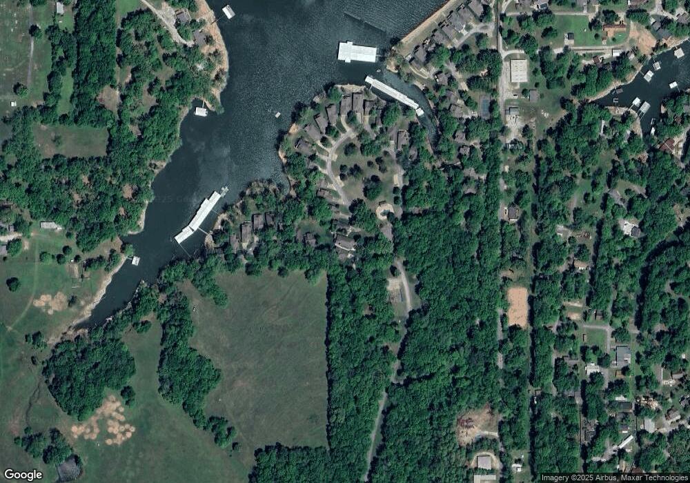
Map
Nearby Homes
- 96 Circle Dr
- 0 Kansas Dr
- 0 Port Duncan Blvd
- TBD Lots 33 & 34 Circle Dr
- 29 Circle Dr
- 31 Circle Dr
- 0 Vinita Cir Unit 2530907
- 0 Vinita Cir Unit 24-1384
- 7 Port Duncan Blvd
- 11 Port Duncan Blvd
- 111 Circle Dr
- 1 Port Duncan Blvd
- 4 Fort Scott Ln
- 4 Grand Lake Dr Unit 2-3, 5-8.
- 19 Privateer Dr
- 2 Dogwood Ln
- 4 Tulsa Dr
- 1606 Privateer Ln
- Lot #9 Airport Rd
- Lot#4 Airport Rd
- 29400 S Bridgeport Rd
- 29400 S Bridgeport Rd
- 29400 S Bridgeport Rd
- 29400 S Bridgeport Rd
- 29400 S Bridgeport Rd
- 29400 S Bridgeport Rd Unit 31
- 29400 S Bridgeport Rd
- 29400 S Bridgeport Rd Unit 20
- 29400 S Bridgeport Rd Unit 24
- 29400 S Bridgeport Rd Unit 17
- 29400 S Bridgeport Rd Unit 29
- 29400 S Bridgeport Rd Unit 47
- 29400 S Bridgeport Rd Unit 33
- 34 Brighton Bay
- 29400 Bridgeport #30 N A Unit 30 Brighton Bay
- 28881 S 562 Rd
- 56200 E 294 Rd
- 56200 E 294 Rd Unit 12
- 56200 E 294 Rd
- 56200 E 294 Rd