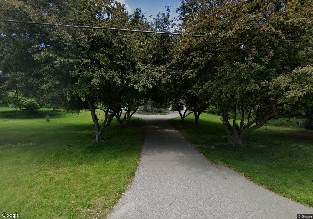
2941 72nd St SW Byron Center, MI 49315
Estimated Value: $396,000 - $468,000
3
Beds
2
Baths
1,658
Sq Ft
$260/Sq Ft
Est. Value
About This Home
This home is located at 2941 72nd St SW, Byron Center, MI 49315 and is currently estimated at $430,603, approximately $259 per square foot. 2941 72nd St SW is a home located in Kent County with nearby schools including Marshall Elementary School, Robert L. Nickels Intermediate School, and Byron Center West Middle School.
Ownership History
Date
Name
Owned For
Owner Type
Purchase Details
Closed on
May 6, 2021
Sold by
Lewis Kara L and Kathleen L Lewis Trust
Bought by
Faber Brandon J and Faber Rachel E
Current Estimated Value
Home Financials for this Owner
Home Financials are based on the most recent Mortgage that was taken out on this home.
Original Mortgage
$240,000
Outstanding Balance
$217,500
Interest Rate
3.1%
Mortgage Type
New Conventional
Estimated Equity
$213,103
Create a Home Valuation Report for This Property
The Home Valuation Report is an in-depth analysis detailing your home's value as well as a comparison with similar homes in the area
Home Values in the Area
Average Home Value in this Area
Purchase History
| Date | Buyer | Sale Price | Title Company |
|---|---|---|---|
| Faber Brandon J | -- | None Available |
Source: Public Records
Mortgage History
| Date | Status | Borrower | Loan Amount |
|---|---|---|---|
| Open | Faber Brandon J | $240,000 |
Source: Public Records
Tax History Compared to Growth
Tax History
| Year | Tax Paid | Tax Assessment Tax Assessment Total Assessment is a certain percentage of the fair market value that is determined by local assessors to be the total taxable value of land and additions on the property. | Land | Improvement |
|---|---|---|---|---|
| 2025 | $2,093 | $183,700 | $0 | $0 |
| 2024 | $2,093 | $174,100 | $0 | $0 |
| 2023 | $2,002 | $155,500 | $0 | $0 |
| 2022 | $2,790 | $129,300 | $0 | $0 |
| 2021 | $2,715 | $120,400 | $0 | $0 |
| 2020 | $1,843 | $120,400 | $0 | $0 |
| 2019 | $2,595 | $113,900 | $0 | $0 |
| 2018 | $2,595 | $107,000 | $21,300 | $85,700 |
| 2017 | $2,539 | $96,500 | $0 | $0 |
| 2016 | $2,435 | $91,100 | $0 | $0 |
| 2015 | $2,393 | $91,100 | $0 | $0 |
| 2013 | -- | $76,900 | $0 | $0 |
Source: Public Records
Map
Nearby Homes
- 2581 Ravines Trail Dr SW
- 2569 Ravines Trail Dr SW
- 2567 Ravines Trail Dr SW
- 2553 Ravines Trail Dr SW
- 3471 68th St SW
- 3183 Railway Dr SW
- 7998 Byron Depot Dr SW
- 8030 Lionel Dr
- 8090 Country Rail Ct SW
- 2245 Pleasant Pond Dr SW
- 8115 Byron Depot Dr SW
- 8138 Boardwalk Dr SW
- Redwood Plan at Railside - Woodland Series
- Sycamore Plan at Railside - Woodland Series
- Bay Harbor Plan at Railside - Landmark Series
- Northport Plan at Railside - Landmark Series
- Pentwater Plan at Railside - Landmark Series
- Oakwood Plan at Railside - Woodland Series
- 8047 Erie Dr
- 3947 76th St SW
- 2971 72nd St SW
- 2891 72nd St SW
- 2993 72nd St SW
- 2909 72nd St SW
- 2863 72nd St SW
- 2938 72nd St SW
- 2980 72nd St SW
- 2894 72nd St SW
- 3001 72nd St SW
- 2835 72nd St SW
- 7210 Southwood Ave SW
- 2870 72nd St SW
- 7218 Southwood Ave SW
- 3055 72nd St SW
- 2830 72nd St SW
- 2833 72nd St SW
- 7261 Indigo Ridge Dr SW
- 7230 Southwood Ave SW
- 7246 Southwood Ave SW
- 7258 Southwood Ave SW