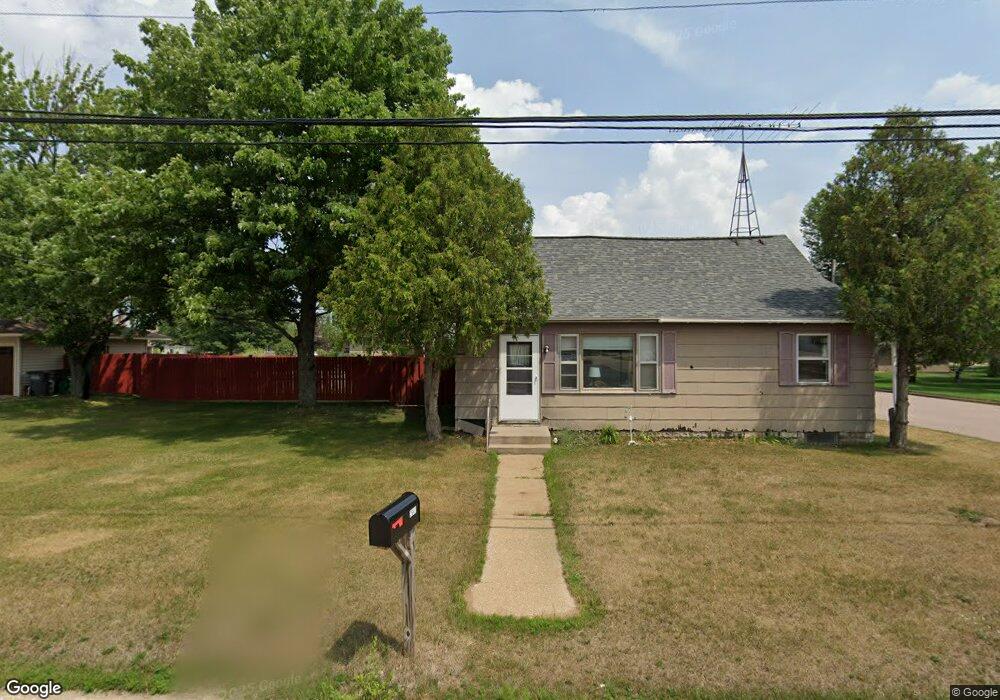
2941 9th St S Wisconsin Rapids, WI 54494
Estimated Value: $119,489 - $176,000
--
Bed
--
Bath
--
Sq Ft
10,454
Sq Ft Lot
About This Home
This home is located at 2941 9th St S, Wisconsin Rapids, WI 54494 and is currently estimated at $151,122. 2941 9th St S is a home located in Wood County with nearby schools including Grove Elementary School, Wisconsin Rapids Area Middle School, and East Junior High School.
Ownership History
Date
Name
Owned For
Owner Type
Purchase Details
Closed on
Jul 17, 2008
Sold by
Mahnke Ralph and Mahnke Rose Ann
Bought by
Mahnke Gordon R
Current Estimated Value
Home Financials for this Owner
Home Financials are based on the most recent Mortgage that was taken out on this home.
Original Mortgage
$39,800
Outstanding Balance
$26,230
Interest Rate
6.5%
Mortgage Type
New Conventional
Estimated Equity
$124,892
Purchase Details
Closed on
Sep 17, 2007
Sold by
Arnold Thomas L and Arnold Jacqueline J
Bought by
Mahnke Ralph and Mahnke Rose Ann
Home Financials for this Owner
Home Financials are based on the most recent Mortgage that was taken out on this home.
Original Mortgage
$15,000
Interest Rate
6.63%
Mortgage Type
Purchase Money Mortgage
Create a Home Valuation Report for This Property
The Home Valuation Report is an in-depth analysis detailing your home's value as well as a comparison with similar homes in the area
Home Values in the Area
Average Home Value in this Area
Purchase History
| Date | Buyer | Sale Price | Title Company |
|---|---|---|---|
| Mahnke Gordon R | $40,000 | Goetz Abstract And Title | |
| Mahnke Gordon R | $40,000 | -- | |
| Mahnke Ralph | -- | Goetz Abstract And Title | |
| Mahnke Ralph | $26,900 | -- |
Source: Public Records
Mortgage History
| Date | Status | Borrower | Loan Amount |
|---|---|---|---|
| Open | Mahnke Gordon R | $39,800 | |
| Closed | Mahnke Gordon R | $39,800 | |
| Previous Owner | Mahnke Ralph | $15,000 |
Source: Public Records
Tax History Compared to Growth
Tax History
| Year | Tax Paid | Tax Assessment Tax Assessment Total Assessment is a certain percentage of the fair market value that is determined by local assessors to be the total taxable value of land and additions on the property. | Land | Improvement |
|---|---|---|---|---|
| 2024 | $1,538 | $88,800 | $15,700 | $73,100 |
| 2023 | $1,140 | $50,300 | $15,700 | $34,600 |
| 2022 | $1,153 | $50,300 | $15,700 | $34,600 |
| 2021 | $1,100 | $50,300 | $15,700 | $34,600 |
| 2020 | $1,118 | $50,300 | $15,700 | $34,600 |
| 2019 | $1,082 | $50,300 | $15,700 | $34,600 |
| 2018 | $1,073 | $50,300 | $15,700 | $34,600 |
| 2017 | $1,167 | $50,500 | $15,100 | $35,400 |
| 2016 | $1,142 | $50,500 | $15,100 | $35,400 |
| 2015 | $1,161 | $50,500 | $15,100 | $35,400 |
Source: Public Records
Map
Nearby Homes
- 1011 Airport Ave
- 2841 Lincoln St
- 2331 10th St S
- 2511 Cliff St
- 3320 16th St S
- 1530 Huntington Ave
- 2120 16th St S
- 2030 16th St S
- 2821 3rd St S
- 4020 Crestwood Ct
- 2720 3rd St S
- 2420 2nd St S
- 1421 16th St S
- 99 River Ridge Rd
- 2020 Bridle Path
- 1311 Snyder St
- 1220 Snyder St
- 1021 Griffith Ave
- 531 Griffith Ave Unit Lot 5
- 921 16th St S