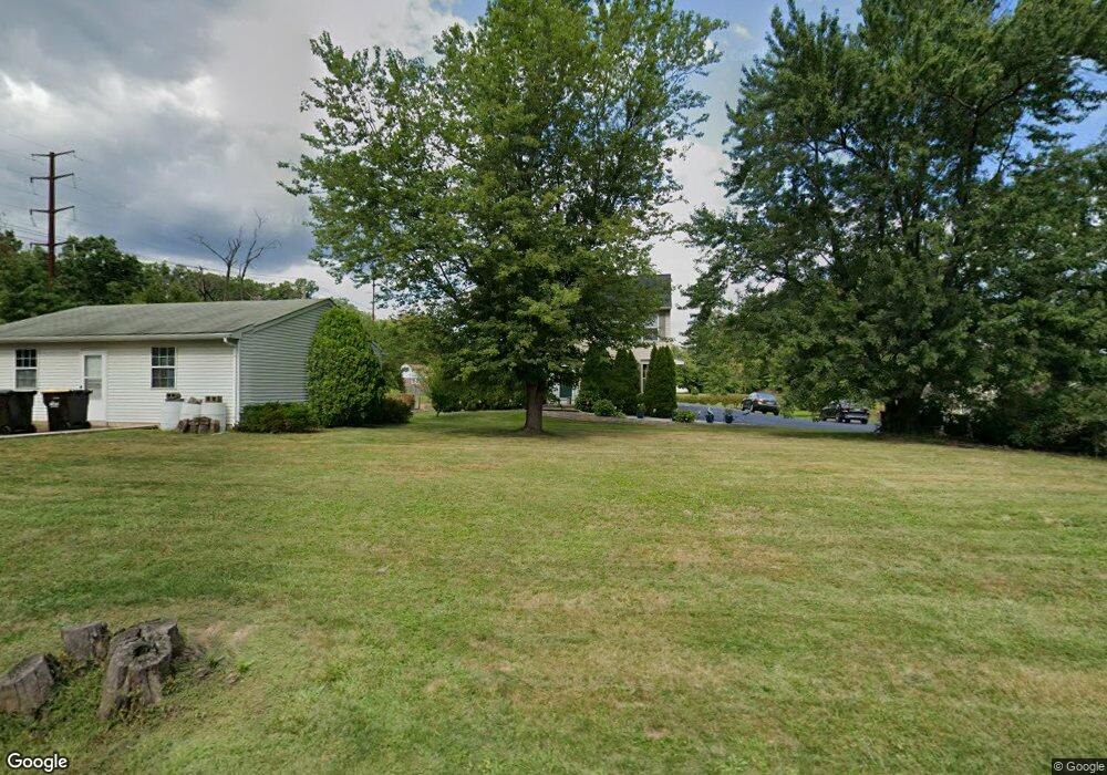
2941 Cowpath Rd Hatfield, PA 19440
Estimated Value: $525,397 - $577,000
4
Beds
3
Baths
2,128
Sq Ft
$255/Sq Ft
Est. Value
About This Home
This home is located at 2941 Cowpath Rd, Hatfield, PA 19440 and is currently estimated at $543,599, approximately $255 per square foot. 2941 Cowpath Rd is a home located in Montgomery County with nearby schools including Hatfield Elementary School, Pennfield Middle School, and North Penn Senior High School.
Ownership History
Date
Name
Owned For
Owner Type
Purchase Details
Closed on
Jun 13, 2005
Sold by
Not Provided
Bought by
Not Provided
Current Estimated Value
Home Financials for this Owner
Home Financials are based on the most recent Mortgage that was taken out on this home.
Original Mortgage
$160,000
Interest Rate
5.79%
Mortgage Type
New Conventional
Purchase Details
Closed on
May 26, 2005
Sold by
Not Provided
Bought by
Not Provided
Home Financials for this Owner
Home Financials are based on the most recent Mortgage that was taken out on this home.
Original Mortgage
$160,000
Interest Rate
5.79%
Mortgage Type
New Conventional
Purchase Details
Closed on
Aug 23, 2004
Sold by
Pham Hung and Le Lan
Bought by
Lu Vincent
Create a Home Valuation Report for This Property
The Home Valuation Report is an in-depth analysis detailing your home's value as well as a comparison with similar homes in the area
Home Values in the Area
Average Home Value in this Area
Purchase History
| Date | Buyer | Sale Price | Title Company |
|---|---|---|---|
| Not Provided | $355,000 | -- | |
| Not Provided | $355,000 | -- | |
| Lu Vincent | $330,000 | -- |
Source: Public Records
Mortgage History
| Date | Status | Borrower | Loan Amount |
|---|---|---|---|
| Closed | Not Provided | $160,000 | |
| Closed | Not Provided | $160,000 | |
| Closed | Lu Vincent | $0 |
Source: Public Records
Tax History
| Year | Tax Paid | Tax Assessment Tax Assessment Total Assessment is a certain percentage of the fair market value that is determined by local assessors to be the total taxable value of land and additions on the property. | Land | Improvement |
|---|---|---|---|---|
| 2025 | $6,984 | $174,440 | $37,730 | $136,710 |
| 2024 | $6,984 | $174,440 | $37,730 | $136,710 |
| 2023 | $6,685 | $174,440 | $37,730 | $136,710 |
| 2022 | $6,467 | $174,440 | $37,730 | $136,710 |
| 2021 | $6,283 | $174,440 | $37,730 | $136,710 |
| 2020 | $6,134 | $174,440 | $37,730 | $136,710 |
| 2019 | $6,032 | $174,440 | $37,730 | $136,710 |
Source: Public Records
Map
Nearby Homes
- 2721 Cowpath Rd
- 22 Holiday Ave
- 1949 Overbrook Rd
- 275 Hillstone Cir
- 105 S Main St
- 700 Alexander Dr
- 111 Raintree Crossing Unit 6B
- 1212 Wright St
- 2331 Cambridge Cir
- 2821 N Ford Dr
- 933 Forty Foot Rd
- 2807 Truman Dr
- 369 Wheatfield Cir
- 113 Hickory Dr
- 327 Melbourne Way
- 109 Hickory Dr
- 29 W Vine St
- 708 Finlay Dr
- 1714 Lydia Dr
- 306 Sherwood Ct N
- 2935 Cowpath Rd
- 2019 Bergey Rd
- 2011 Bergey Rd
- 2933 Cowpath Rd
- 2003 Bergey Rd
- 2931 Cowpath Rd
- 2027 Bergey Rd
- 2929 Cowpath Rd
- 2927 Cowpath Rd
- 2035 Bergey Rd
- 2925 Cowpath Rd
- 2970 Cowpath Rd
- 2948 Cowpath Rd
- 2923 Cowpath Rd
- 2043 Bergey Rd
- 1825 Bergey Rd
- 2012 Oak Ave
- 2030 Oak Ave
- 2004 Oak Ave
- 2042 Oak Ave
Your Personal Tour Guide
Ask me questions while you tour the home.