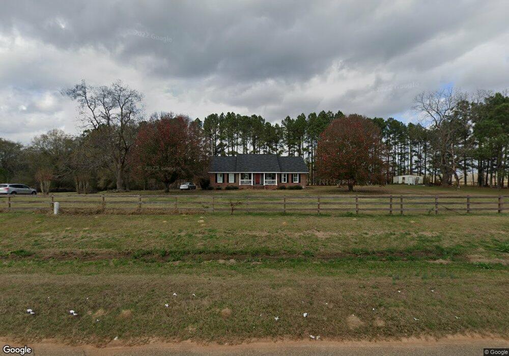
2941 Scrap Israel Rd Dawson, GA 39842
Estimated Value: $210,930 - $372,000
3
Beds
2
Baths
1,881
Sq Ft
$157/Sq Ft
Est. Value
About This Home
This home is located at 2941 Scrap Israel Rd, Dawson, GA 39842 and is currently estimated at $295,983, approximately $157 per square foot. 2941 Scrap Israel Rd is a home located in Terrell County with nearby schools including Cooper-Carver Elementary School, Terrell Middle School, and Terrell High School.
Ownership History
Date
Name
Owned For
Owner Type
Purchase Details
Closed on
Jan 30, 2025
Sold by
Whaley Roy D
Bought by
Whaley Lori P and Whaley Roy D
Current Estimated Value
Purchase Details
Closed on
Oct 17, 2024
Sold by
Whaley Lori P
Bought by
Whaley Roy D and Whaley Lori P
Purchase Details
Closed on
Jan 26, 2016
Sold by
Prescott Louise Kenny
Bought by
Whaley Roy D and Whaley Lori P
Purchase Details
Closed on
Dec 22, 2014
Sold by
Whaley Roy D
Bought by
Prescott Louise Kenny and Prescott Gail
Create a Home Valuation Report for This Property
The Home Valuation Report is an in-depth analysis detailing your home's value as well as a comparison with similar homes in the area
Home Values in the Area
Average Home Value in this Area
Purchase History
| Date | Buyer | Sale Price | Title Company |
|---|---|---|---|
| Whaley Lori P | -- | -- | |
| Whaley Roy D | -- | -- | |
| Whaley Roy D | -- | -- | |
| Prescott Louise Kenny | -- | -- |
Source: Public Records
Tax History Compared to Growth
Tax History
| Year | Tax Paid | Tax Assessment Tax Assessment Total Assessment is a certain percentage of the fair market value that is determined by local assessors to be the total taxable value of land and additions on the property. | Land | Improvement |
|---|---|---|---|---|
| 2024 | $1,846 | $55,004 | $3,282 | $51,722 |
| 2023 | $1,642 | $55,004 | $3,282 | $51,722 |
| 2022 | $1,642 | $55,004 | $3,282 | $51,722 |
| 2021 | $1,704 | $55,004 | $3,282 | $51,722 |
| 2020 | $1,704 | $55,004 | $3,282 | $51,722 |
| 2019 | $1,649 | $55,004 | $3,282 | $51,722 |
| 2018 | $1,649 | $55,004 | $3,282 | $51,722 |
| 2017 | $1,649 | $55,004 | $3,282 | $51,722 |
| 2016 | $1,649 | $55,004 | $3,282 | $51,722 |
| 2015 | -- | $55,004 | $3,282 | $51,722 |
| 2014 | -- | $55,004 | $3,282 | $51,722 |
| 2013 | -- | $55,004 | $3,282 | $51,722 |
Source: Public Records
Map
Nearby Homes
- 1075 Cox Rd
- 1071 Cox Rd
- 448 Henry Mitchell Dr NE
- 978 Lovers Ln
- 434 Foster Ave
- 1853 Warner Rd
- 0 Cooper Dr NE Unit 7597500
- 0 Cooper Dr NE Unit 10543060
- 1264 Ball Park Ave NE
- 828 Cooper Dr NE
- 1256 Ball Park Ave NE
- 219 Main St E
- 904 Ash St NE
- 1239 Askew Dr NE
- 150 Thornton St NE
- 1240 Askew Dr NE
- 1258 Askew Dr NE
- 513 College St NE
- 527 Orange St NE
- 361/552 NW Tenth Ave
- 260 Homer Fillingame Rd
- 465 Homer Fillingame Rd
- 465 Homer Fillingame Rd
- 3333 Scrap Israel Rd
- 2522 Scrap Israel Rd
- 300 Kenny Prescott Rd
- 648 Homer Fillingame Rd
- 757 Homer Fillingame Rd
- 1898 Billy Strong Rd
- 3697 Scrap Israel Rd
- 3728 Scrap Israel Rd
- 1878 Billy Strong Rd
- 1929 Cox Rd
- 2231 Cox Rd
- 2876 Plains Hwy
- 3890 Scrap Israel Rd
- 2612 Plains Hwy
- 2318 Cox Rd