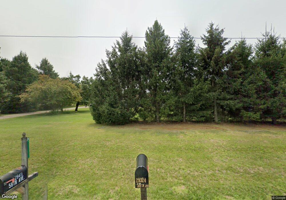
29411 58th Ave Paw Paw, MI 49079
Estimated Value: $330,000 - $353,000
4
Beds
4
Baths
2,357
Sq Ft
$146/Sq Ft
Est. Value
About This Home
This home is located at 29411 58th Ave, Paw Paw, MI 49079 and is currently estimated at $344,115, approximately $145 per square foot. 29411 58th Ave is a home located in Van Buren County with nearby schools including Mattawan Early Elementary School, Mattawan Early Childhood Education Center, and Mattawan Later Elementary School.
Ownership History
Date
Name
Owned For
Owner Type
Purchase Details
Closed on
Jun 30, 2006
Sold by
Rogers Stanley C and Rogers Judy M
Bought by
Herman John D and Herman Leah R
Current Estimated Value
Home Financials for this Owner
Home Financials are based on the most recent Mortgage that was taken out on this home.
Original Mortgage
$20,000
Outstanding Balance
$11,926
Interest Rate
6.73%
Mortgage Type
Stand Alone Second
Estimated Equity
$332,189
Purchase Details
Closed on
Jun 11, 2004
Sold by
Martin Steve A and Martin Ardene K
Bought by
Rogers Stanley C and Rogers Judy M
Home Financials for this Owner
Home Financials are based on the most recent Mortgage that was taken out on this home.
Original Mortgage
$135,200
Interest Rate
6.17%
Mortgage Type
Unknown
Create a Home Valuation Report for This Property
The Home Valuation Report is an in-depth analysis detailing your home's value as well as a comparison with similar homes in the area
Home Values in the Area
Average Home Value in this Area
Purchase History
| Date | Buyer | Sale Price | Title Company |
|---|---|---|---|
| Herman John D | $174,000 | Metropolitan Title Company | |
| Rogers Stanley C | $169,000 | Metropolitan Title Company |
Source: Public Records
Mortgage History
| Date | Status | Borrower | Loan Amount |
|---|---|---|---|
| Open | Herman John D | $20,000 | |
| Open | Herman John D | $139,200 | |
| Previous Owner | Rogers Stanley C | $135,200 | |
| Previous Owner | Rogers Stanley C | $8,400 | |
| Previous Owner | Rogers Stanley C | $25,350 |
Source: Public Records
Tax History Compared to Growth
Tax History
| Year | Tax Paid | Tax Assessment Tax Assessment Total Assessment is a certain percentage of the fair market value that is determined by local assessors to be the total taxable value of land and additions on the property. | Land | Improvement |
|---|---|---|---|---|
| 2025 | $3,131 | $151,200 | $0 | $0 |
| 2024 | $928 | $134,100 | $0 | $0 |
| 2023 | $884 | $126,500 | $0 | $0 |
| 2022 | $2,811 | $105,900 | $0 | $0 |
| 2021 | $2,706 | $94,300 | $18,000 | $76,300 |
| 2020 | $2,670 | $94,700 | $17,500 | $77,200 |
| 2019 | $2,473 | $87,400 | $87,400 | $0 |
| 2018 | $2,416 | $83,100 | $83,100 | $0 |
| 2017 | $2,332 | $80,500 | $0 | $0 |
| 2016 | $2,354 | $78,200 | $0 | $0 |
| 2015 | $2,088 | $78,200 | $0 | $0 |
| 2014 | $2,098 | $74,800 | $0 | $0 |
| 2013 | -- | $68,500 | $68,500 | $0 |
Source: Public Records
Map
Nearby Homes
- 28313 58th Ave
- 55800 30th St
- 59080 County Road 653
- 29055 E Red Arrow Hwy
- 31576 Pine Ridge Cir
- 61473 M 40
- 59134 Whitewood Dr
- 52117 County Road 657
- 29698 Jewells Dr
- 61121 Airpark Ln
- 64425 Windrose Way
- 59103 Silvergrass Dr
- V L 56th Ave
- V/L 56th St
- 0 Derhammer Pkwy Unit 10 25018418
- 0 Derhammer Pkwy Unit 9 25018416
- 0 Derhammer Pkwy Unit 8 25018415
- 0 Derhammer Pkwy Unit 6 25018413
- 0 Derhammer Pkwy Unit 4 25018409
- 0 Derhammer Pkwy Unit 2 25018402
