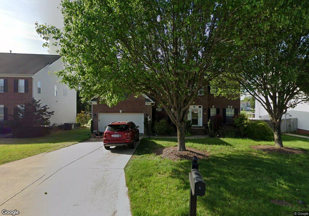
2942 Shady View Dr High Point, NC 27265
Bent Tree NeighborhoodEstimated Value: $452,093 - $476,000
4
Beds
3
Baths
2,908
Sq Ft
$160/Sq Ft
Est. Value
About This Home
This home is located at 2942 Shady View Dr, High Point, NC 27265 and is currently estimated at $464,273, approximately $159 per square foot. 2942 Shady View Dr is a home located in Guilford County with nearby schools including Southwest Elementary School, Southwest Guilford Middle School, and Southwest Guilford High School.
Ownership History
Date
Name
Owned For
Owner Type
Purchase Details
Closed on
Dec 4, 2002
Sold by
The New Fortis Corp
Bought by
Throckmorton Michael Dean and Throckmorton Kimberly A
Current Estimated Value
Home Financials for this Owner
Home Financials are based on the most recent Mortgage that was taken out on this home.
Original Mortgage
$266,900
Interest Rate
6.07%
Purchase Details
Closed on
Aug 8, 2002
Sold by
Peaceford Meadows Llc
Bought by
The New Fortis Corp Inc
Create a Home Valuation Report for This Property
The Home Valuation Report is an in-depth analysis detailing your home's value as well as a comparison with similar homes in the area
Home Values in the Area
Average Home Value in this Area
Purchase History
| Date | Buyer | Sale Price | Title Company |
|---|---|---|---|
| Throckmorton Michael Dean | $281,000 | -- | |
| The New Fortis Corp Inc | $33,000 | -- |
Source: Public Records
Mortgage History
| Date | Status | Borrower | Loan Amount |
|---|---|---|---|
| Open | Throckmorton Michael Dean | $158,500 | |
| Closed | Throckmorton Michael Dean | $162,900 | |
| Closed | Throckmorton Michael Dean | $204,000 | |
| Closed | Throckmorton Michael Dean | $266,900 |
Source: Public Records
Tax History
| Year | Tax Paid | Tax Assessment Tax Assessment Total Assessment is a certain percentage of the fair market value that is determined by local assessors to be the total taxable value of land and additions on the property. | Land | Improvement |
|---|---|---|---|---|
| 2025 | $5,216 | $378,500 | $85,000 | $293,500 |
| 2024 | $5,216 | $378,500 | $85,000 | $293,500 |
| 2023 | $5,216 | $378,500 | $85,000 | $293,500 |
| 2022 | $5,102 | $378,500 | $85,000 | $293,500 |
| 2021 | $3,258 | $236,400 | $48,000 | $188,400 |
| 2020 | $3,258 | $236,400 | $48,000 | $188,400 |
| 2019 | $3,258 | $236,400 | $0 | $0 |
| 2018 | $3,241 | $236,400 | $0 | $0 |
| 2017 | $3,241 | $236,400 | $0 | $0 |
| 2016 | $2,924 | $208,500 | $0 | $0 |
| 2015 | $2,940 | $208,500 | $0 | $0 |
| 2014 | $2,990 | $208,500 | $0 | $0 |
Source: Public Records
Map
Nearby Homes
- 3025 Sycamore Point Trail
- 4257 Pelican St
- 4358 Ashton Oaks Ct
- 3023 Maple Branch Dr
- 4301 Bradbury Way
- 3114 Ironwood Flat Dr
- 3273 Alyssa Way
- 4217 Chilton Way
- 4304 Hardin Ct
- 3477 Lilliefield Ln
- 2309 Faircloth Way
- 2459 Tannin Ct
- 4710 Willowstone Dr
- 4630 White Beard Rd
- 4712 Willowstone Dr
- 715 Piedmont Crossing Dr Unit 14
- 4711 Willowstone Dr
- 4714 Willowstone Dr
- 4713 Willowstone Dr
- 4716 Willowstone Dr
- 2948 Shady View Dr
- 2938 Shady View Dr
- 2952 Shady View Dr
- 2952 Glen Echo Ct
- 2934 Shady View Dr
- 2951 Shady View Dr
- 2935 Shady View Dr
- 2956 Shady View Dr
- 2948 Glen Echo Ct
- 2930 Shady View Dr
- 2955 Shady View Dr
- 2931 Shady View Dr
- 2944 Glen Echo Ct
- 2926 Shady View Dr
- 2955 Glen Echo Ct
- 2956 Maple Branch Dr
- 2927 Shady View Dr
- 4384 Peaceford Glen Dr
- 2940 Glen Echo Ct
- 4379 Peaceford Glen Dr
Your Personal Tour Guide
Ask me questions while you tour the home.