2943 Cat Branch Rd Early Branch, SC 29916
Estimated Value: $180,000 - $263,000
--
Bed
--
Bath
2,068
Sq Ft
$111/Sq Ft
Est. Value
About This Home
This home is located at 2943 Cat Branch Rd, Early Branch, SC 29916 and is currently estimated at $229,712, approximately $111 per square foot. 2943 Cat Branch Rd is a home located in Jasper County with nearby schools including Ridgeland Elementary School, Ridgeland Secondary Academy Of Excellence, and Hardeeville Junior & Senior High School.
Ownership History
Date
Name
Owned For
Owner Type
Purchase Details
Closed on
Oct 15, 2009
Sold by
Terry Thelma C
Bought by
Rowland Thelma C
Current Estimated Value
Home Financials for this Owner
Home Financials are based on the most recent Mortgage that was taken out on this home.
Original Mortgage
$262,500
Outstanding Balance
$256,614
Interest Rate
4.92%
Mortgage Type
Reverse Mortgage Home Equity Conversion Mortgage
Estimated Equity
-$26,902
Create a Home Valuation Report for This Property
The Home Valuation Report is an in-depth analysis detailing your home's value as well as a comparison with similar homes in the area
Home Values in the Area
Average Home Value in this Area
Purchase History
| Date | Buyer | Sale Price | Title Company |
|---|---|---|---|
| Rowland Thelma C | -- | -- |
Source: Public Records
Mortgage History
| Date | Status | Borrower | Loan Amount |
|---|---|---|---|
| Open | Rowland Thelma C | $262,500 |
Source: Public Records
Tax History Compared to Growth
Tax History
| Year | Tax Paid | Tax Assessment Tax Assessment Total Assessment is a certain percentage of the fair market value that is determined by local assessors to be the total taxable value of land and additions on the property. | Land | Improvement |
|---|---|---|---|---|
| 2025 | $170 | $3,060 | $280 | $2,780 |
| 2024 | $167 | $3,060 | $280 | $2,780 |
| 2023 | $159 | $3,060 | $0 | $0 |
| 2022 | $169 | $3,060 | $280 | $2,780 |
| 2021 | $107 | $2,660 | $220 | $2,440 |
| 2020 | $103 | $2,660 | $220 | $2,440 |
| 2019 | $103 | $2,660 | $220 | $2,440 |
| 2018 | $284 | $3,910 | $220 | $3,690 |
| 2017 | $282 | $3,910 | $220 | $3,690 |
| 2016 | $286 | $3,910 | $220 | $3,690 |
| 2015 | $210 | $3,400 | $220 | $3,180 |
| 2014 | $474 | $5,090 | $220 | $4,870 |
Source: Public Records
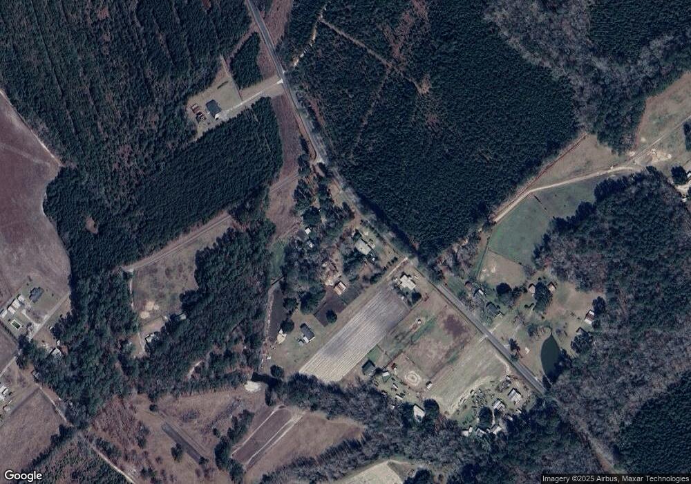
Map
Nearby Homes
- 51 Willys Way
- 485 Corner Lake Rd
- 1412 Sinclair Rd
- 0 Grady Mixon Rd
- 115 Bartons Trail
- 2060 Davidson Tower Rd
- TBD Rivers Hill Rd Unit B1
- TBD A1 Rivers Hill Rd
- TBD A2 Rivers Hill Rd Unit A2
- TBD Rivers Hill Rd Unit A3
- TBD Rivers Hill Rd Unit B2
- TBD Rivers Hill Rd Unit A4
- TBD Jerusalem Church Rd
- TBD 6 Jerusalem Church Rd
- TBD 8 Jerusalem Church Rd
- TBD 10 Jerusalem Church Rd
- TBD 4 Jerusalem Church Rd
- TBD 3 Jerusalem Church Rd
- TBD 1 Jerusalem Church Rd
- TBD 5 Jerusalem Church Rd
- 2985 Cat Branch Rd
- 2820 Cat Branch Rd
- 2811 Cat Branch Rd
- 3103 Cat Branch Rd
- 197 Steve Mixon Rd
- 2005 Big Branch Rd
- 1925 Big Branch Rd
- 2728 Cat Branch Rd
- 1814 Big Branch Rd
- 280 Steve Mixon Rd
- 3235 Cat Branch Rd
- 1755 Big Branch Rd
- 1858 Big Branch Rd
- 3282 Cat Branch Rd
- 363 Steve Mixon Rd
- 1786 Big Branch Rd
- 2572 Cat Branch Rd
- 2808 Cat Branch Rd
- 2808 Cat Branch Rd
- 5193 Cat Branch Rd