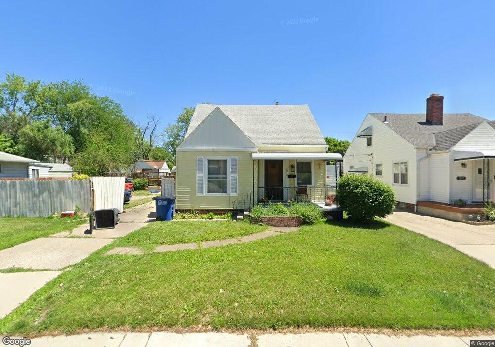
2943 S Byrne Rd Toledo, OH 43614
Beverly NeighborhoodEstimated Value: $154,000 - $179,833
2
Beds
1
Bath
1,344
Sq Ft
$127/Sq Ft
Est. Value
About This Home
This home is located at 2943 S Byrne Rd, Toledo, OH 43614 and is currently estimated at $170,708, approximately $127 per square foot. 2943 S Byrne Rd is a home located in Lucas County with nearby schools including Beverly Elementary School, Bowsher High School, and St. Patrick of Heatherdowns School.
Ownership History
Date
Name
Owned For
Owner Type
Purchase Details
Closed on
Nov 2, 2000
Sold by
Hawley Christopher M and Hawley Christina A
Bought by
Gomez Manuel L and Gomez Linda
Current Estimated Value
Home Financials for this Owner
Home Financials are based on the most recent Mortgage that was taken out on this home.
Original Mortgage
$98,000
Outstanding Balance
$36,085
Interest Rate
7.87%
Mortgage Type
Purchase Money Mortgage
Estimated Equity
$134,623
Purchase Details
Closed on
Mar 31, 1993
Purchase Details
Closed on
Feb 10, 1992
Sold by
Alcorn Charles L and Alcorn Cindy
Create a Home Valuation Report for This Property
The Home Valuation Report is an in-depth analysis detailing your home's value as well as a comparison with similar homes in the area
Home Values in the Area
Average Home Value in this Area
Purchase History
| Date | Buyer | Sale Price | Title Company |
|---|---|---|---|
| Gomez Manuel L | $98,000 | Northwest Title Agency Of Oh | |
| -- | -- | -- | |
| -- | $30,700 | -- |
Source: Public Records
Mortgage History
| Date | Status | Borrower | Loan Amount |
|---|---|---|---|
| Open | Gomez Manuel L | $98,000 |
Source: Public Records
Tax History Compared to Growth
Tax History
| Year | Tax Paid | Tax Assessment Tax Assessment Total Assessment is a certain percentage of the fair market value that is determined by local assessors to be the total taxable value of land and additions on the property. | Land | Improvement |
|---|---|---|---|---|
| 2024 | $1,117 | $46,095 | $8,645 | $37,450 |
| 2023 | $1,943 | $39,235 | $7,665 | $31,570 |
| 2022 | $1,965 | $39,235 | $7,665 | $31,570 |
| 2021 | $2,007 | $39,235 | $7,665 | $31,570 |
| 2020 | $1,800 | $32,585 | $6,335 | $26,250 |
| 2019 | $1,747 | $32,585 | $6,335 | $26,250 |
| 2018 | $1,747 | $32,585 | $6,335 | $26,250 |
| 2017 | $1,787 | $31,850 | $6,195 | $25,655 |
| 2016 | $1,780 | $91,000 | $17,700 | $73,300 |
| 2015 | $1,760 | $91,000 | $17,700 | $73,300 |
| 2014 | $1,453 | $31,860 | $6,200 | $25,660 |
| 2013 | $1,453 | $31,860 | $6,200 | $25,660 |
Source: Public Records
Map
Nearby Homes
- 2930 S Byrne Rd
- 3054 S Byrne Rd
- 3626 Greenlawn Ct
- 3128 Penrose Ave
- 4113 S Detroit Ave
- 3619 Prairie Ave
- 3111 Astor Ave
- 3627 Golfgate Dr
- 2134 Tedrow Rd
- 4213 Rugby Dr
- 4320 Beverly Dr
- 4224 Beverly Dr
- 3214 Escott Ave
- 3148 Glanzman Rd
- 3157 Dorian Dr
- 3264 Escott Ave
- 4669 S Detroit Ave
- 3157 Strathmoor Ave
- 5022 Stengel Ave
- 3728 Richlawn Dr
- 2947 S Byrne Rd
- 2939 S Byrne Rd
- 2935 S Byrne Rd
- 2955 S Byrne Rd
- 2931 S Byrne Rd
- 2944 Lutaway Dr
- 2990 S Byrne Rd
- 2952 Lutaway Dr
- 2940 Lutaway Dr
- 2956 Lutaway Dr
- 3184 Daleford Dr
- 2927 S Byrne Rd
- 3194 Daleford Dr
- 2936 Lutaway Dr
- 2942 S Byrne Rd
- 2938 S Byrne Rd
- 2946 S Byrne Rd
- 2934 S Byrne Rd
- 2932 Lutaway Dr
- 2950 S Byrne Rd