29433 S Dhooghe Rd Colton, OR 97017
Estimated Value: $613,990 - $917,000
2
Beds
2
Baths
2,188
Sq Ft
$340/Sq Ft
Est. Value
About This Home
This home is located at 29433 S Dhooghe Rd, Colton, OR 97017 and is currently estimated at $743,248, approximately $339 per square foot. 29433 S Dhooghe Rd is a home located in Clackamas County with nearby schools including Colton Elementary School, Colton Middle School, and Colton High School.
Ownership History
Date
Name
Owned For
Owner Type
Purchase Details
Closed on
Oct 16, 2021
Sold by
Graves John W and Graves Tara S
Bought by
Graves Tara S and Graves Family Trust
Current Estimated Value
Home Financials for this Owner
Home Financials are based on the most recent Mortgage that was taken out on this home.
Original Mortgage
$120,000
Interest Rate
2.8%
Mortgage Type
New Conventional
Purchase Details
Closed on
Sep 24, 2021
Sold by
Graves John W and Graves Tara S
Bought by
Graves John W and Graves Tara S
Home Financials for this Owner
Home Financials are based on the most recent Mortgage that was taken out on this home.
Original Mortgage
$120,000
Interest Rate
2.8%
Mortgage Type
New Conventional
Create a Home Valuation Report for This Property
The Home Valuation Report is an in-depth analysis detailing your home's value as well as a comparison with similar homes in the area
Home Values in the Area
Average Home Value in this Area
Purchase History
| Date | Buyer | Sale Price | Title Company |
|---|---|---|---|
| Graves Tara S | -- | Lawyers Title Of Oregon Llc | |
| Graves John W | -- | Lawyers Title Of Oregon Llc |
Source: Public Records
Mortgage History
| Date | Status | Borrower | Loan Amount |
|---|---|---|---|
| Closed | Graves John W | $120,000 |
Source: Public Records
Tax History Compared to Growth
Tax History
| Year | Tax Paid | Tax Assessment Tax Assessment Total Assessment is a certain percentage of the fair market value that is determined by local assessors to be the total taxable value of land and additions on the property. | Land | Improvement |
|---|---|---|---|---|
| 2025 | $3,441 | $293,338 | -- | -- |
| 2024 | $3,471 | $284,795 | -- | -- |
| 2023 | $3,471 | $276,500 | $0 | $0 |
| 2022 | $3,258 | $268,447 | $0 | $0 |
| 2021 | $3,102 | $260,629 | $0 | $0 |
| 2020 | $3,016 | $253,038 | $0 | $0 |
| 2019 | $2,926 | $245,668 | $0 | $0 |
| 2018 | $2,858 | $238,513 | $0 | $0 |
| 2017 | $2,781 | $231,566 | $0 | $0 |
| 2016 | $2,682 | $224,821 | $0 | $0 |
| 2015 | $2,606 | $218,273 | $0 | $0 |
| 2014 | $2,347 | $211,916 | $0 | $0 |
Source: Public Records
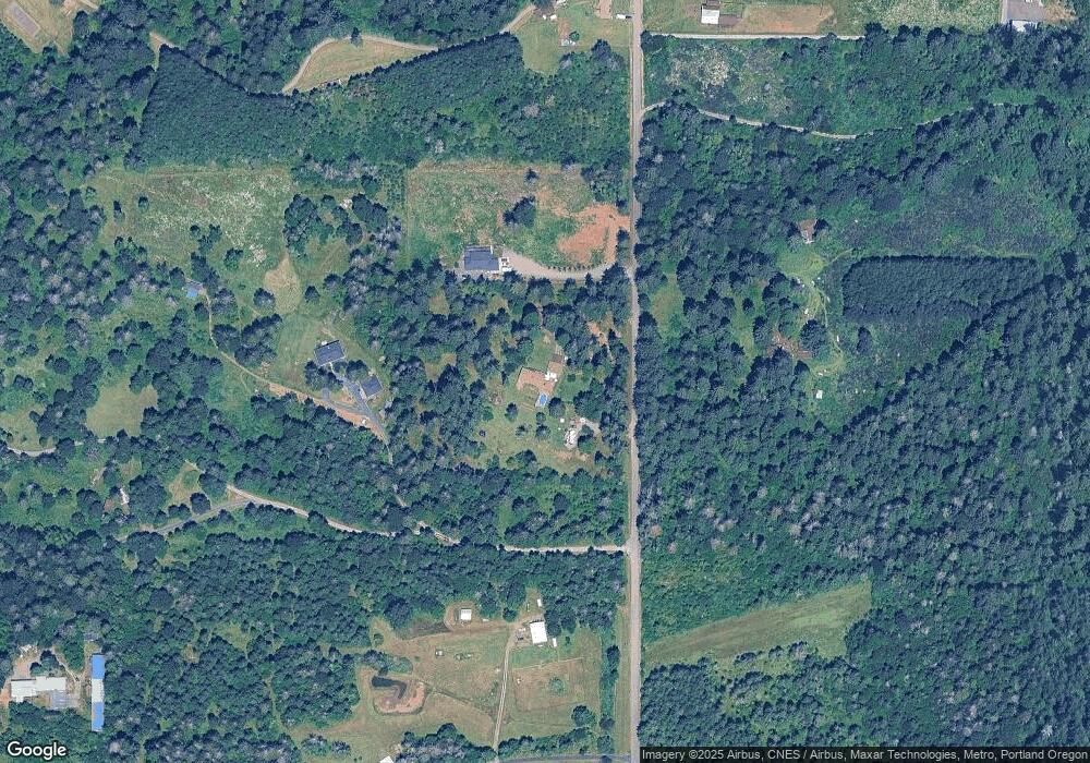
Map
Nearby Homes
- 19400 S Frank Rd
- 18863 S Norry Ct
- 19807 S Highway 211
- 19345 S Rockney Rd
- 29882 S Hult Rd
- 30850 S Marian St
- 30886 S Marian St
- 0 S Hult Rd
- 29555 S Beavercreek Rd
- 30725 S Wall St
- 18247 S Highway 211
- 30811 S Oswalt Rd
- 18215 Oregon 211
- 27882 S Mote Ln
- 26394 S Gard Rd
- 26280 S Beavercreek Rd
- 32553 S Dhooghe Rd
- 28381 S Salo Rd
- 16290 S Riverview Rd
- 22816 S Bonney Rd
- 29409 S Dhooghe Rd
- 29420 S Dhooghe Rd
- 29479 S Dhooghe Rd
- 29212 S Dhooghe Rd
- 29313 S Dhooghe Rd
- 29665 S Dhooghe Rd
- 29683 S Dhooghe Rd
- 29190 S Dhooghe Rd
- 29553 S Dhooghe Rd
- 29720 S Dhooghe Rd
- 29703 S Dhooghe Rd
- 29549 S Dhooghe Rd
- 19475 S Frank Rd
- 19351 S Frank Rd
- 19444 S Frank Rd
- 29790 S Dhooghe Rd
- 29490 S Dhooghe Rd
- 19159 S Frank Rd
- 28883 S Dhooghe Rd
- 29870 S Dhooghe Rd